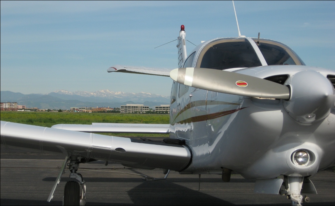
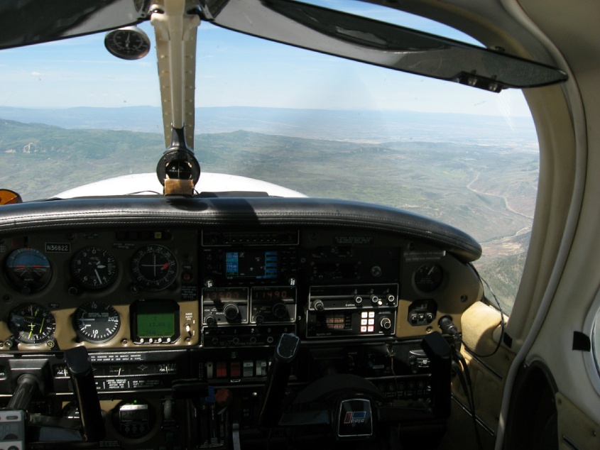
 Before the tower opens... |
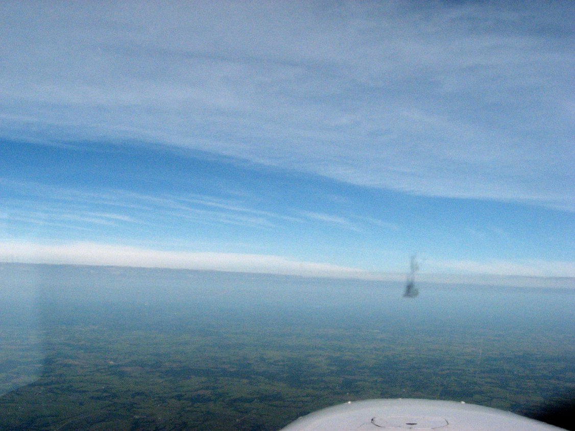 First storm on the horizon |
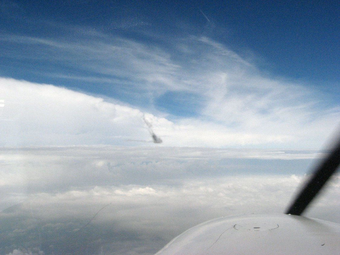 Closer |
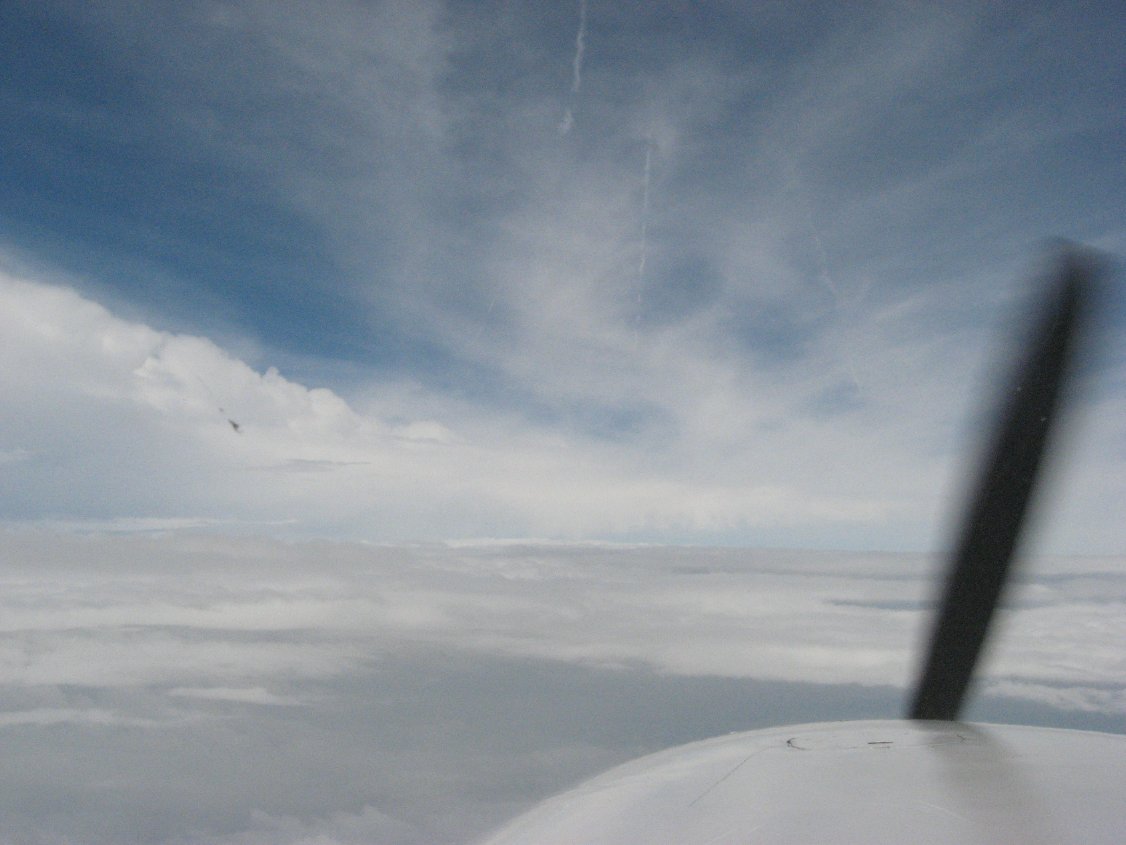 Closer yet |
 Maybe not too bad |
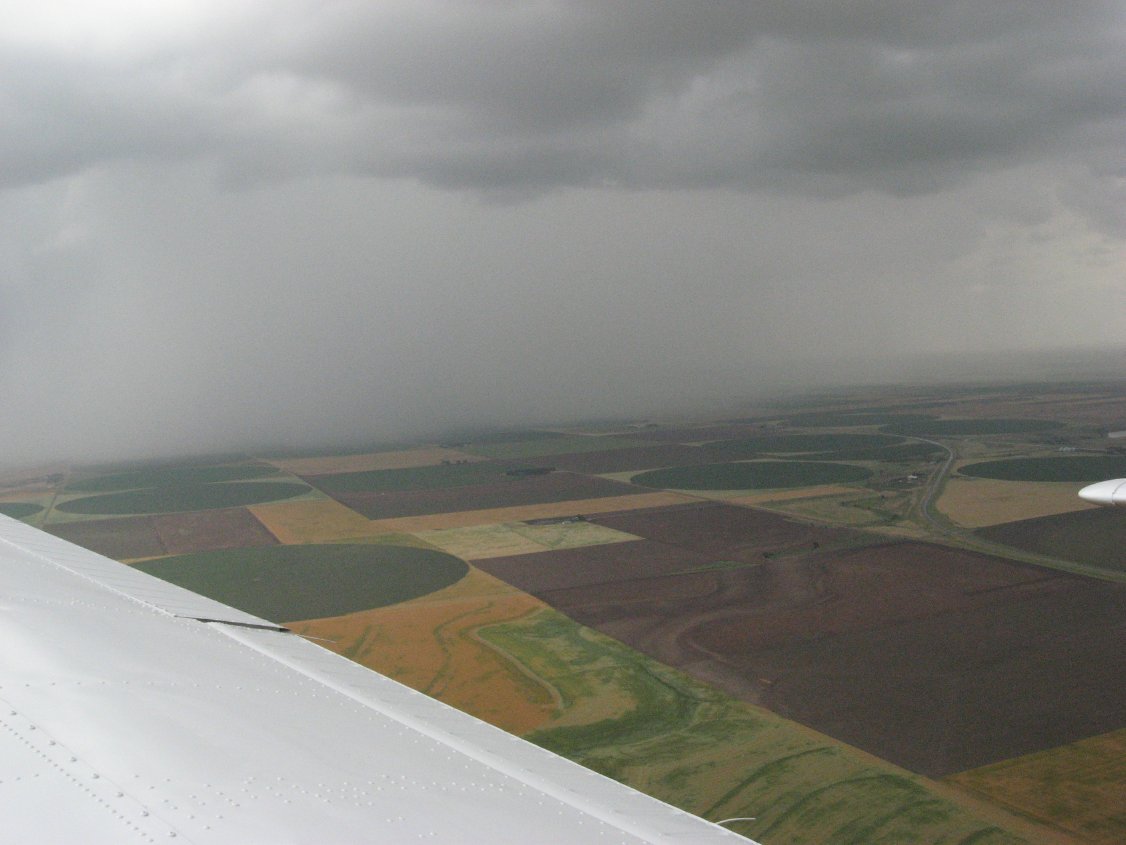
 Fly around this |
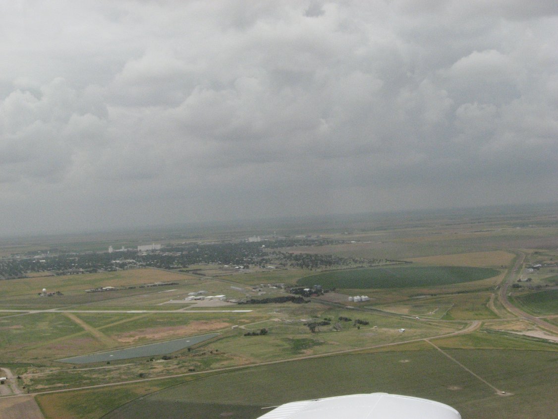
 On the ground at Goodland, KS |
 Nasty stuff out SE of the field |
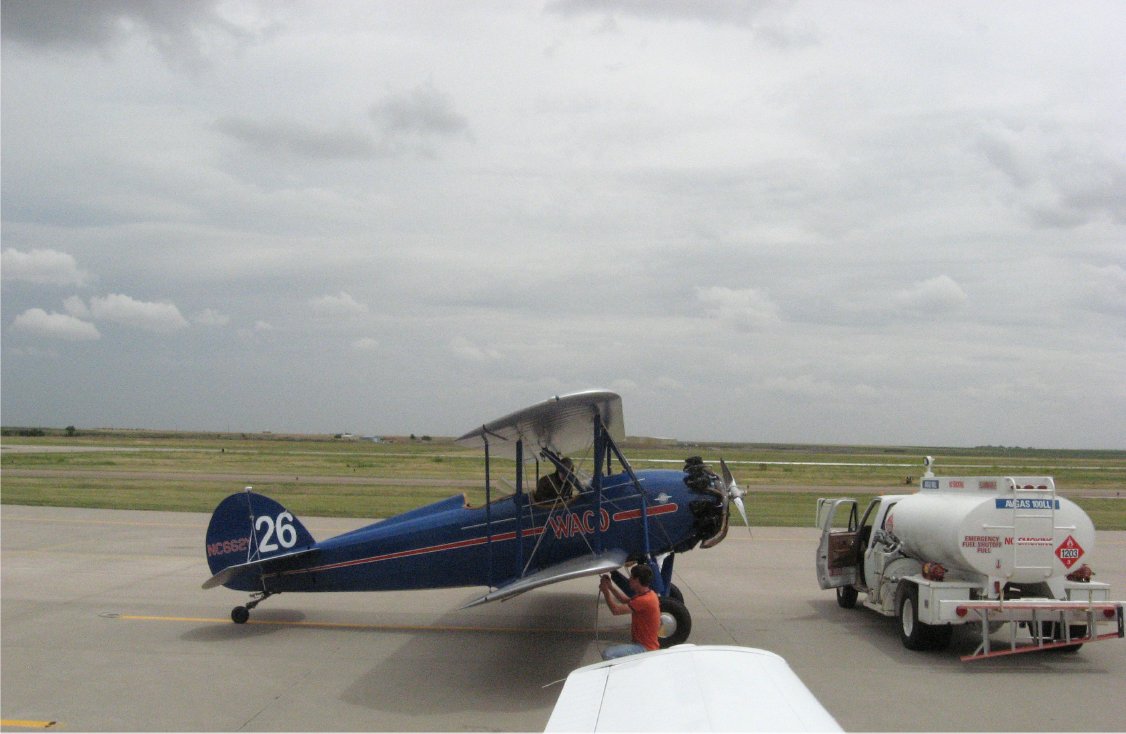
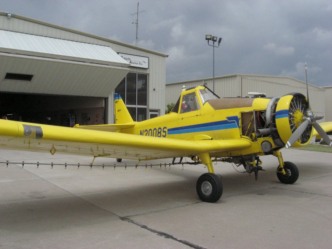 Cropdusters of course |
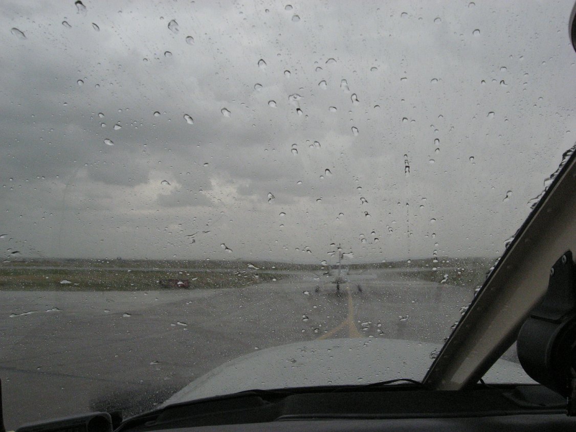 Rain during taxi out, gusts to 35kts from the south |
 Flying around some more |
 Heavy rain north of the field |
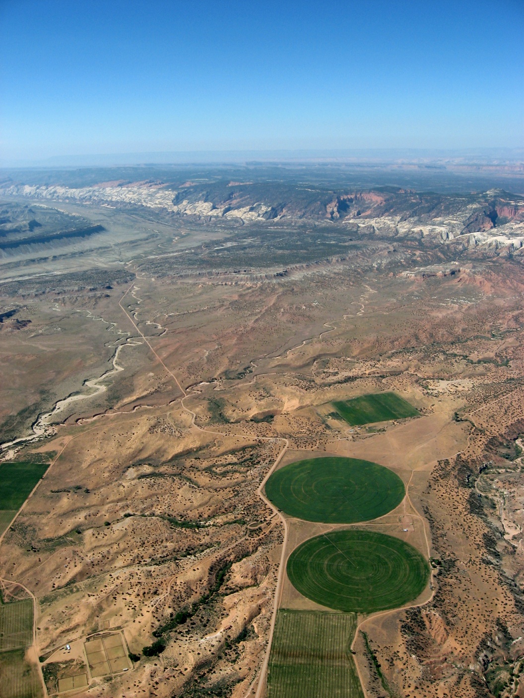
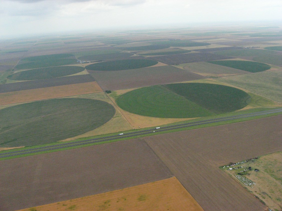 Crop circles to the south |
 Low level scud |
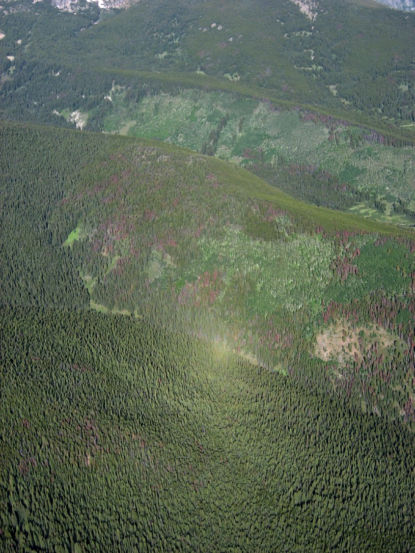
 Looks like some downdrafts |
 More wind shear clouds, winds 35kts from the north |
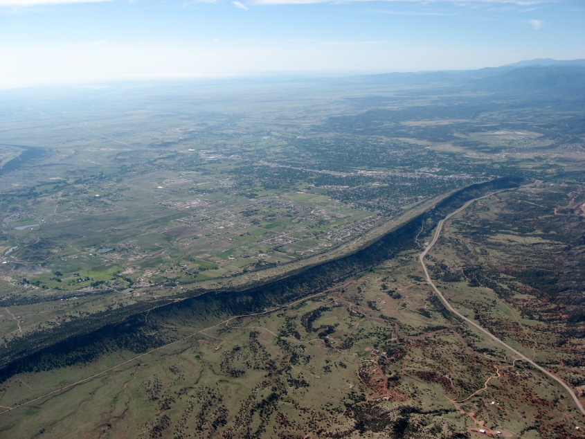
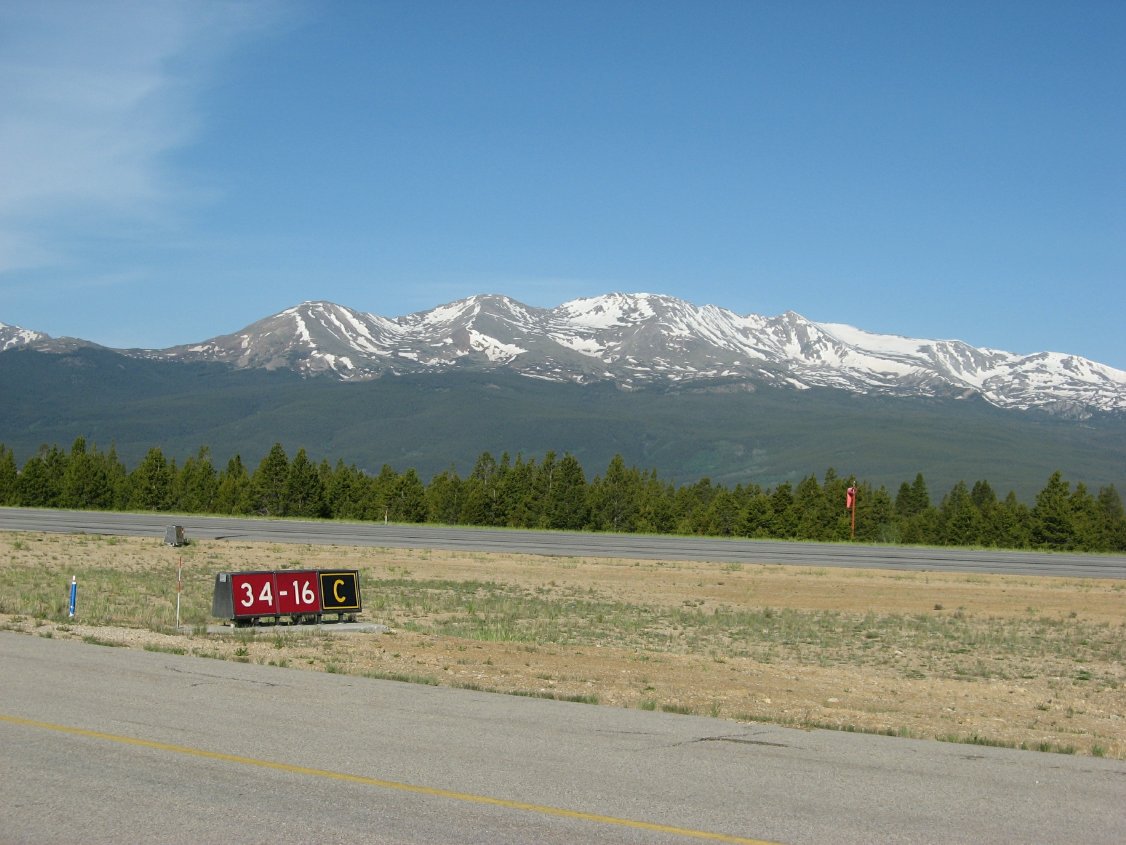
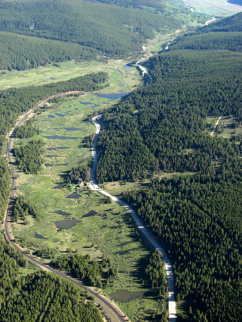
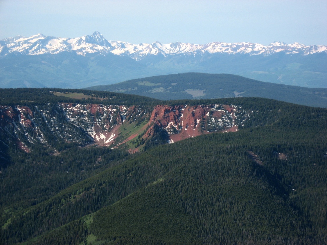
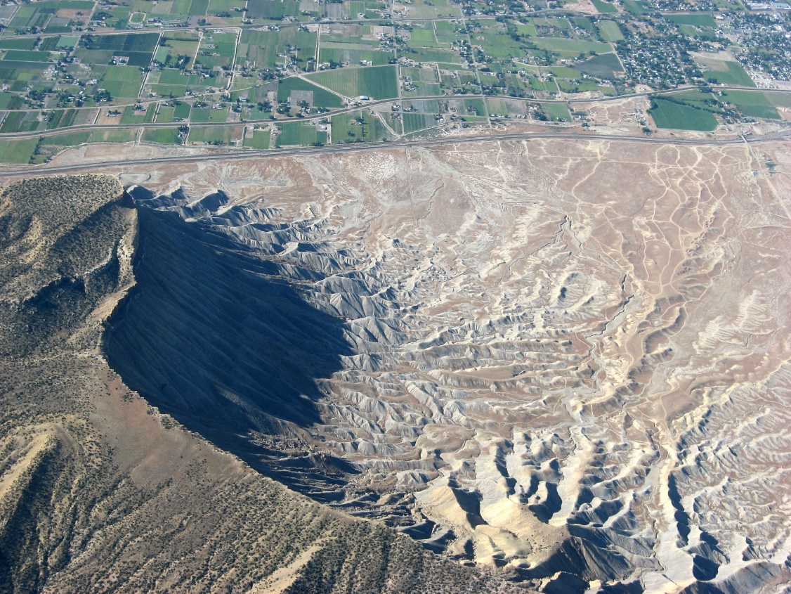
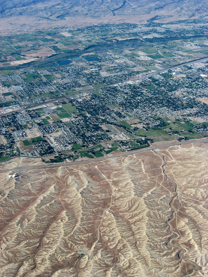
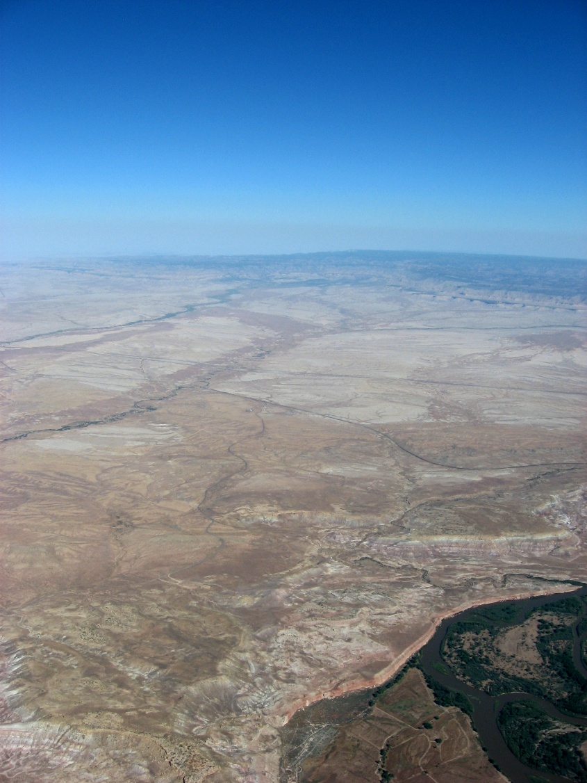
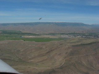
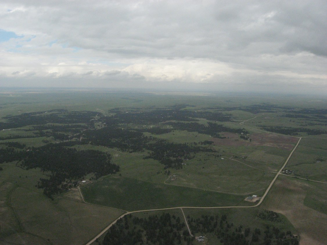 Terrain rising ot the west |
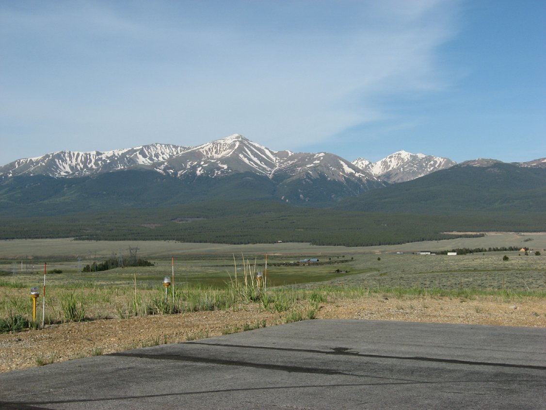
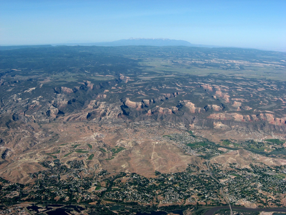
 Rockies are out there someplace |
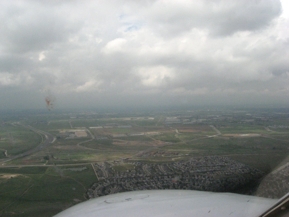
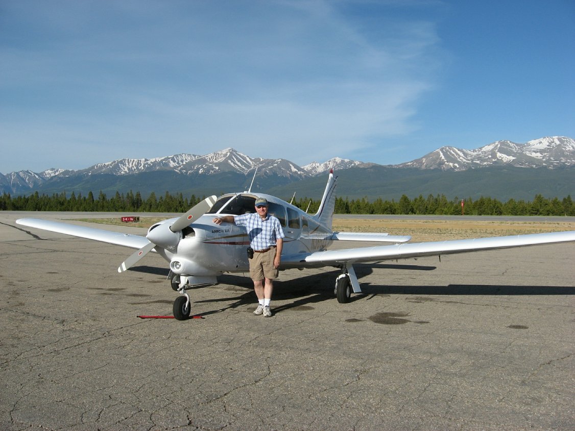
 Finally parked at KAPA |
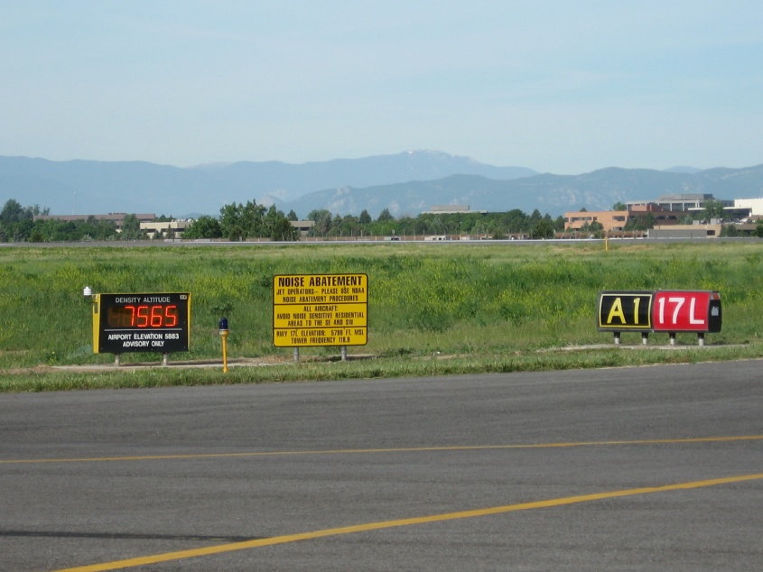 Density Altitude! |
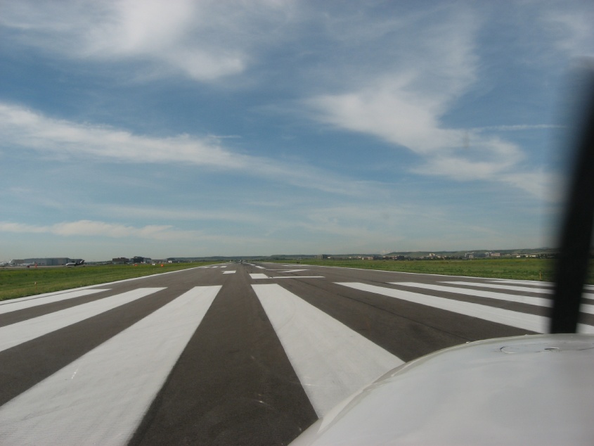 Takeoff! |
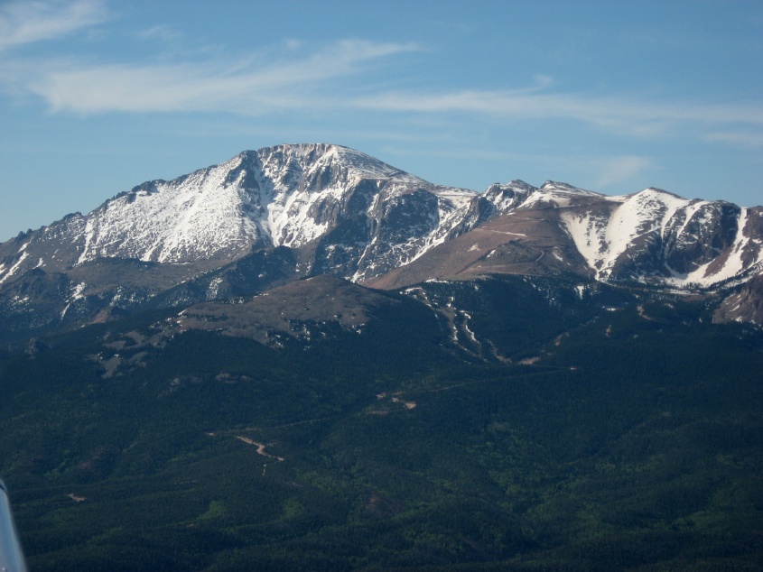
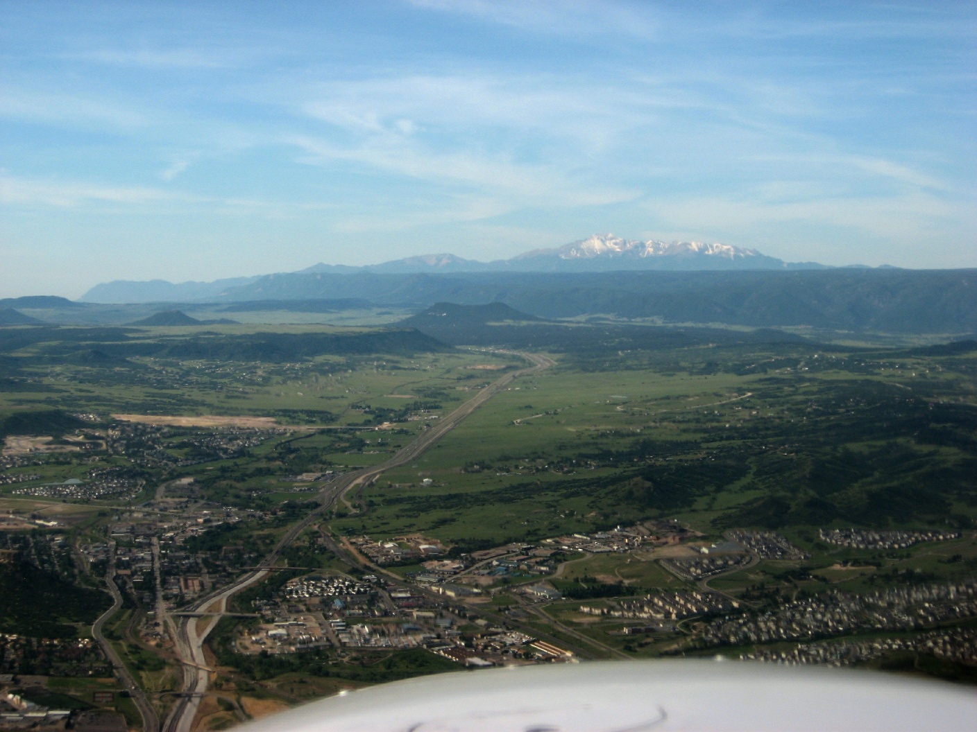 Flying south to Pikes Peak |
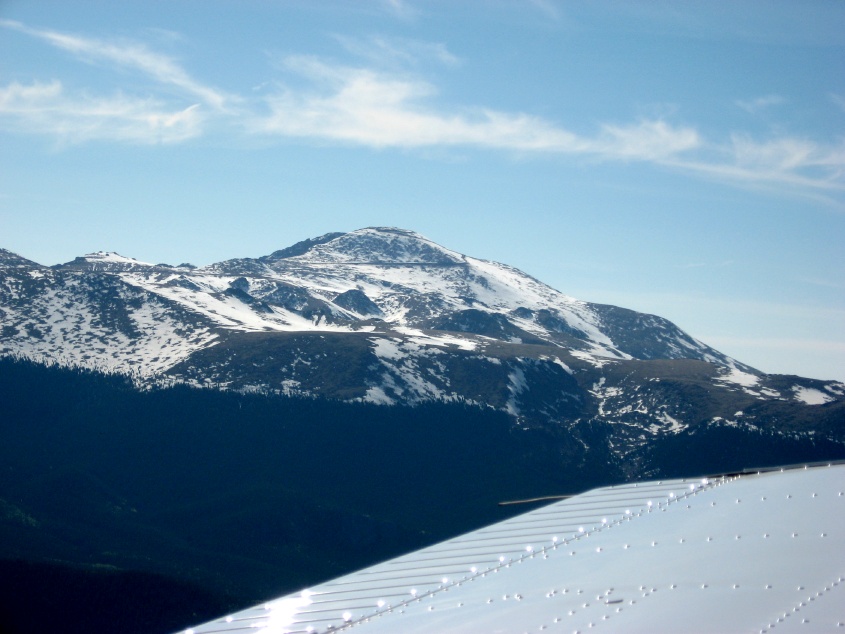
 First step up the Rockies |
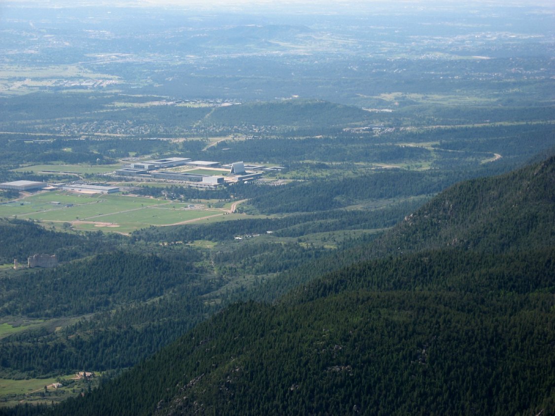 Air Force Academy |
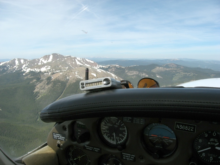
 The crest of the Rockies |
 Just west of KANK |
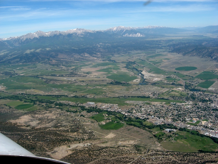
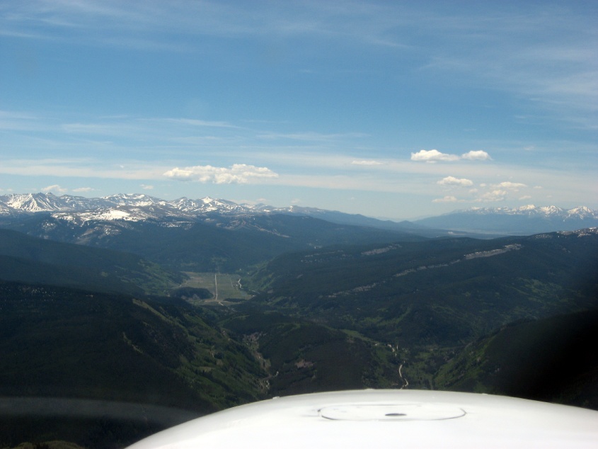
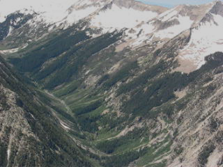
 Salida Valley |
 Valley in the Rockies |
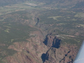
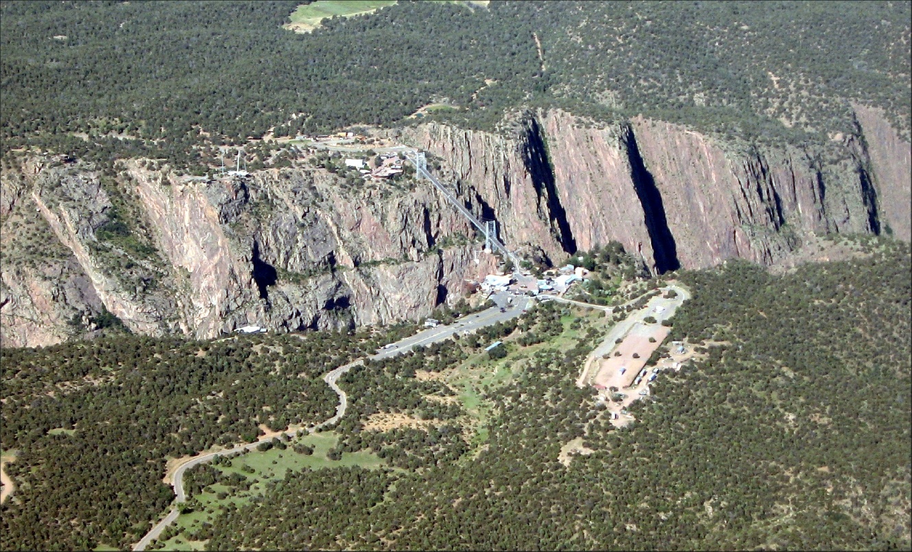 Royal Gorge |
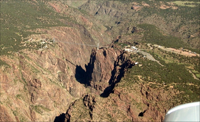 A better view of the Royal Gorge |
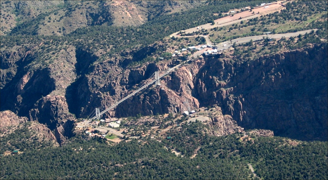 It was fun crossing this when I was a kid with my parents |
 Some great driving down there! |
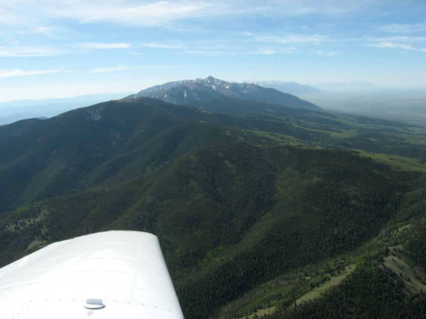
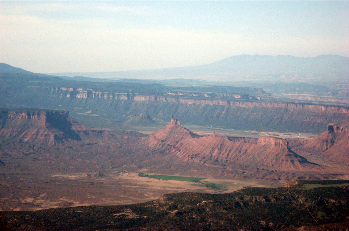
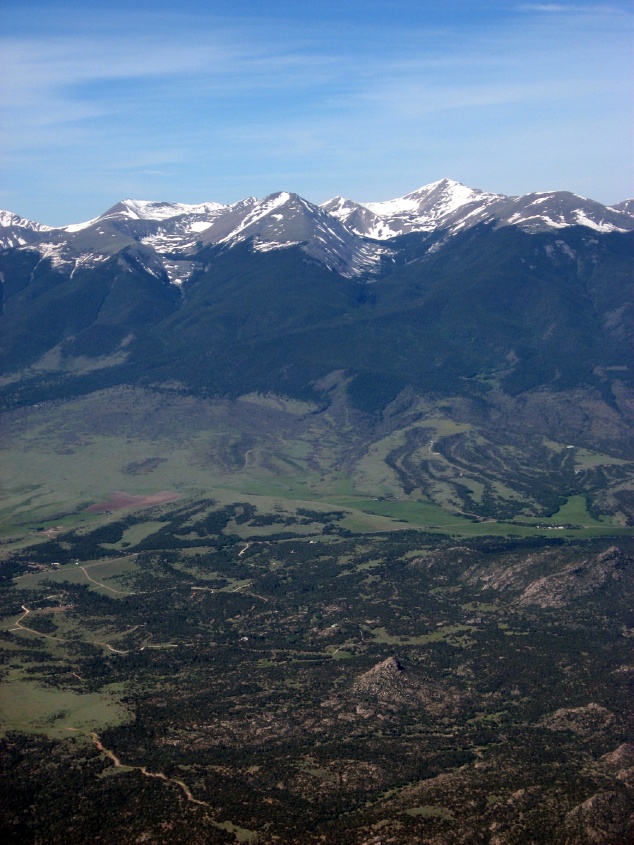 Looking north to the peaks |
 KANK below |
 Crossing one pass |
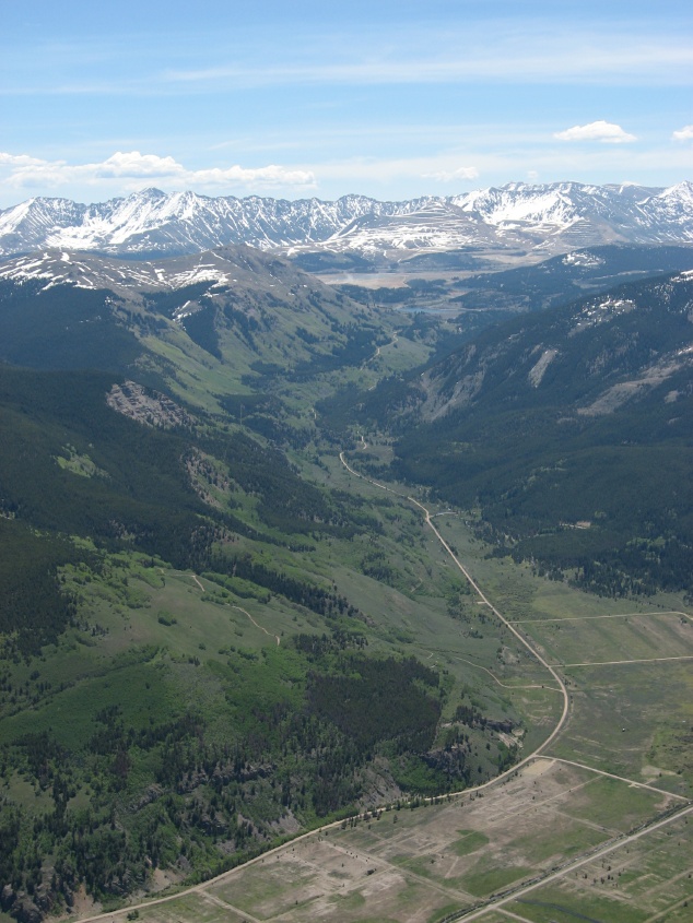
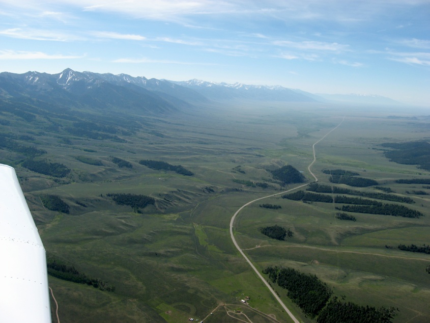 Another high valley |
 Last pass |
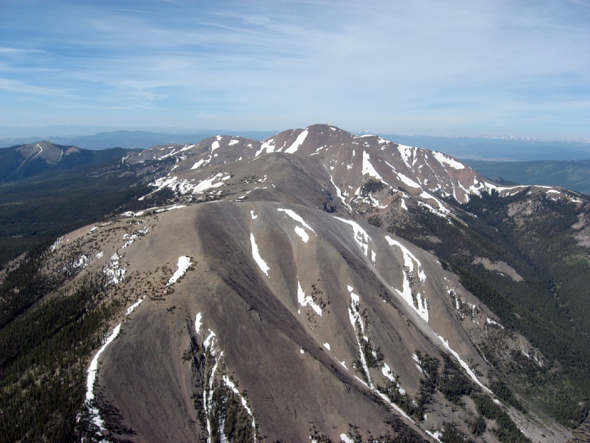 Some great cumulogranite |
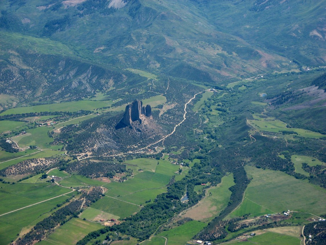
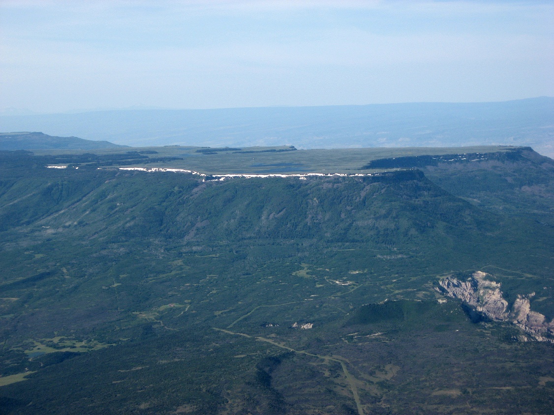
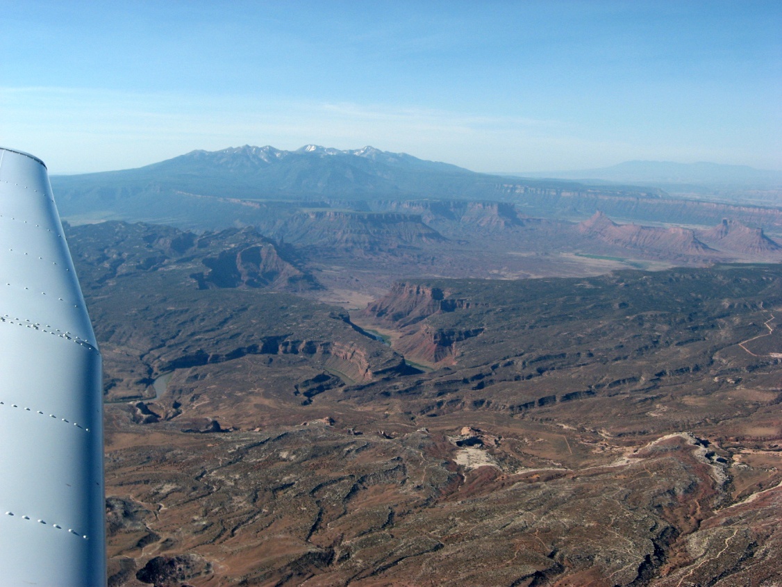
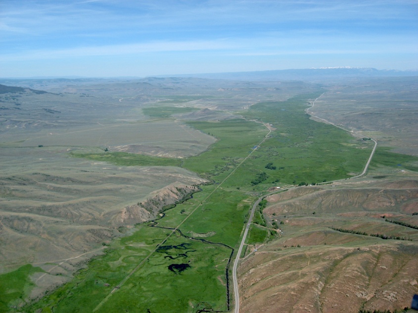 The valley to the west and Gunnison |
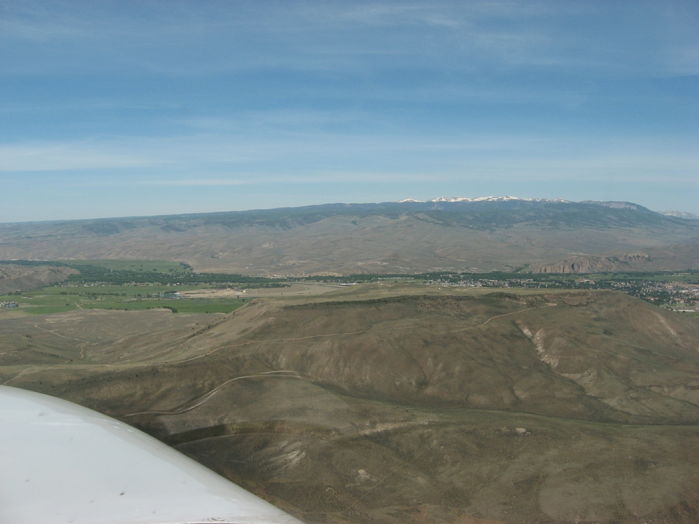 Gunnison from the other side of the mesa, there is an airport out there |
 Amazing natural designs on these mesas |
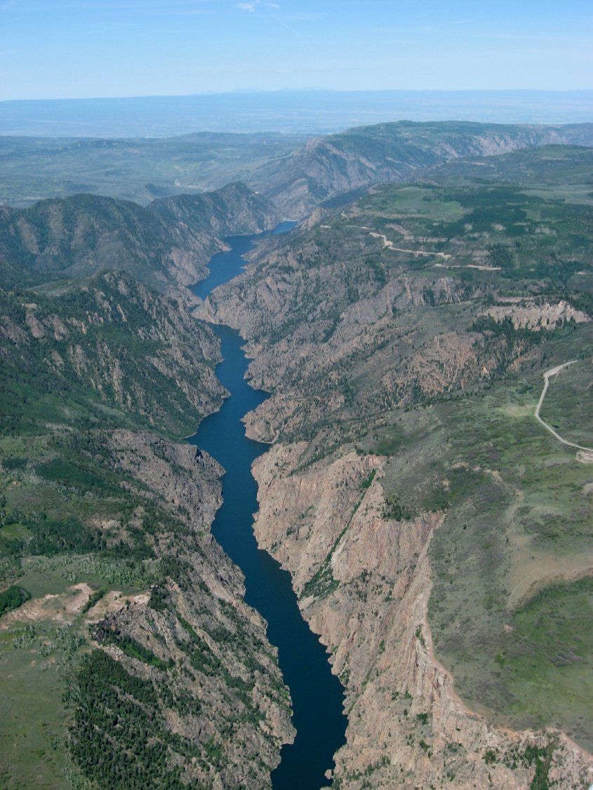 The Black Canyon of the Gunnison |
 Who's flying? |
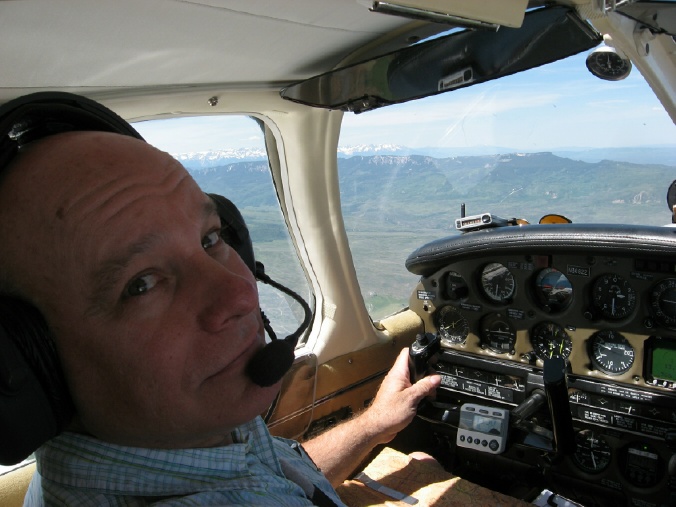 Oh, just stepped back in |
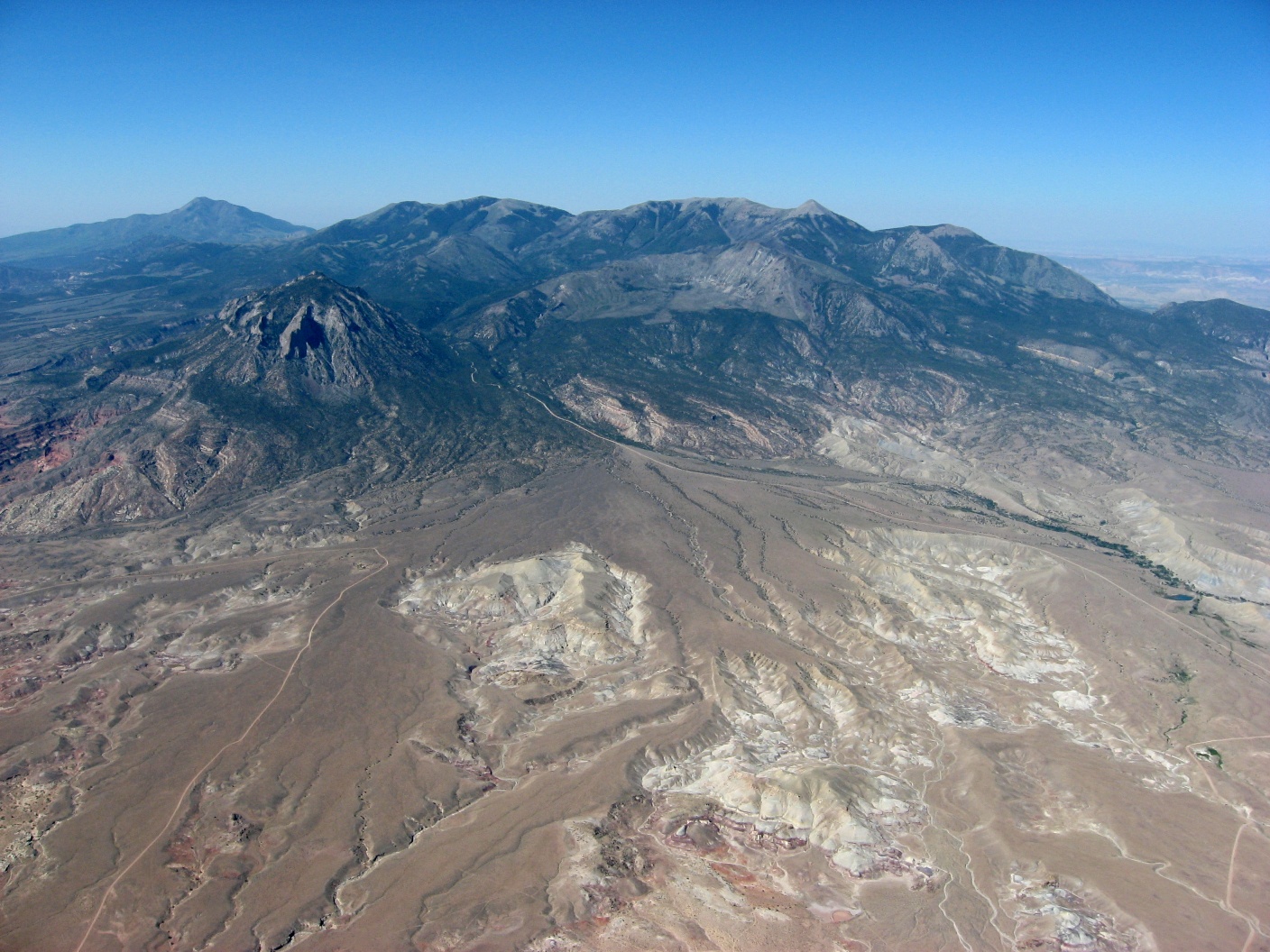
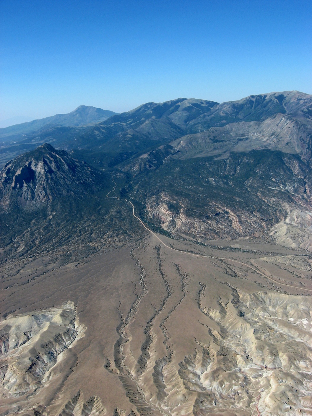
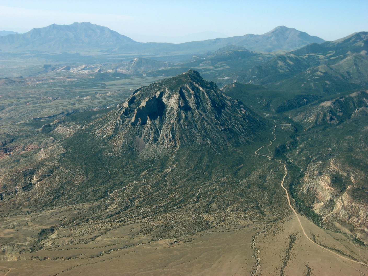
 Old cinder cone |
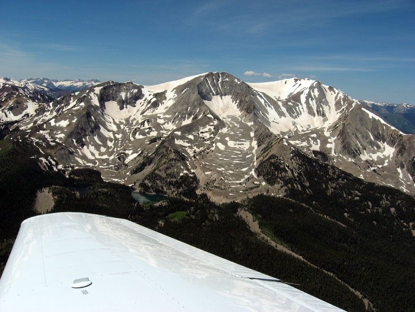
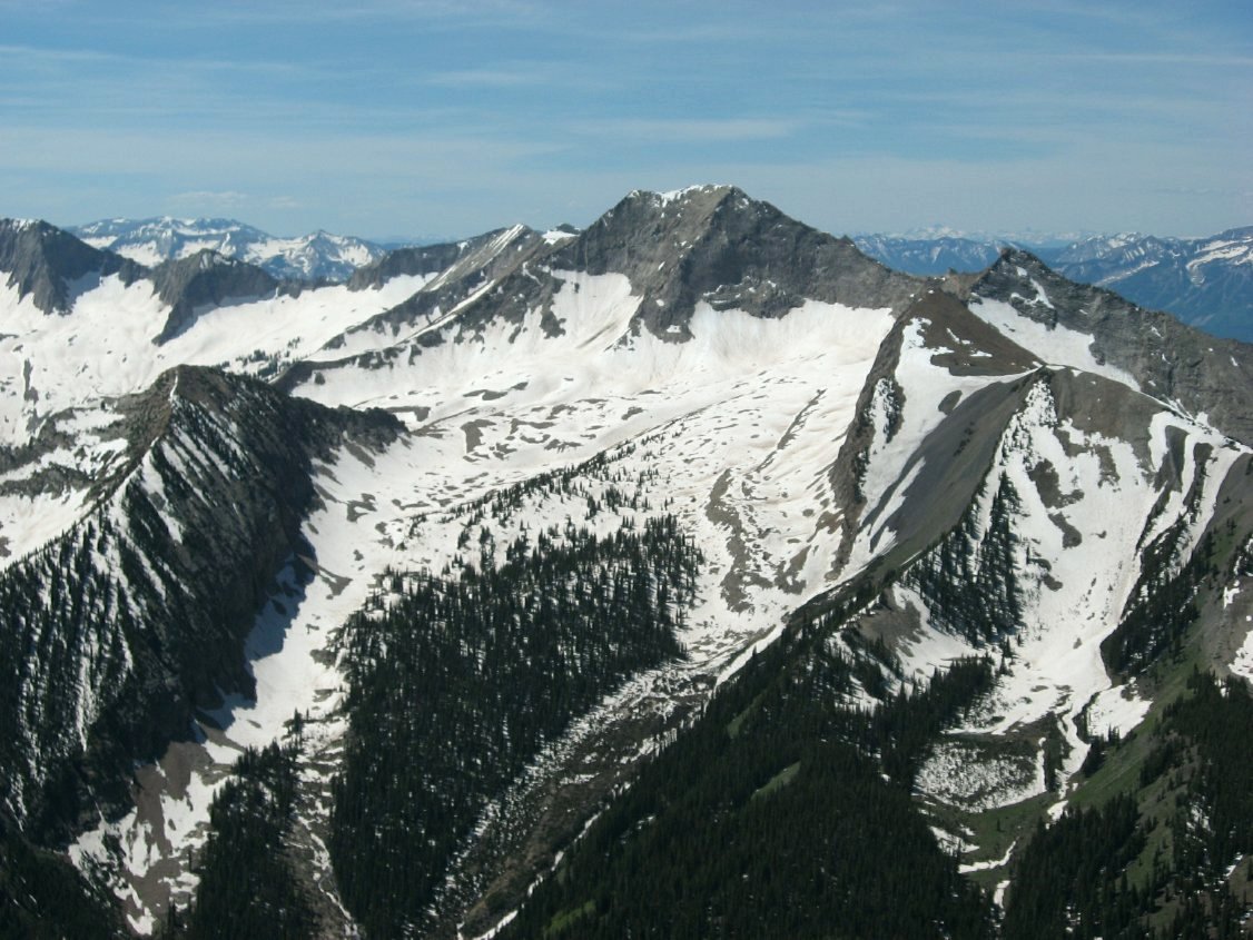 Peaks east of Aspen |
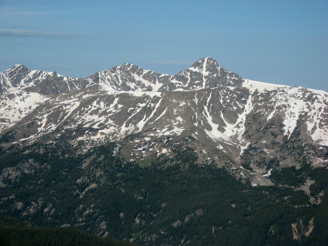
 Still snow in June |
 More granite |
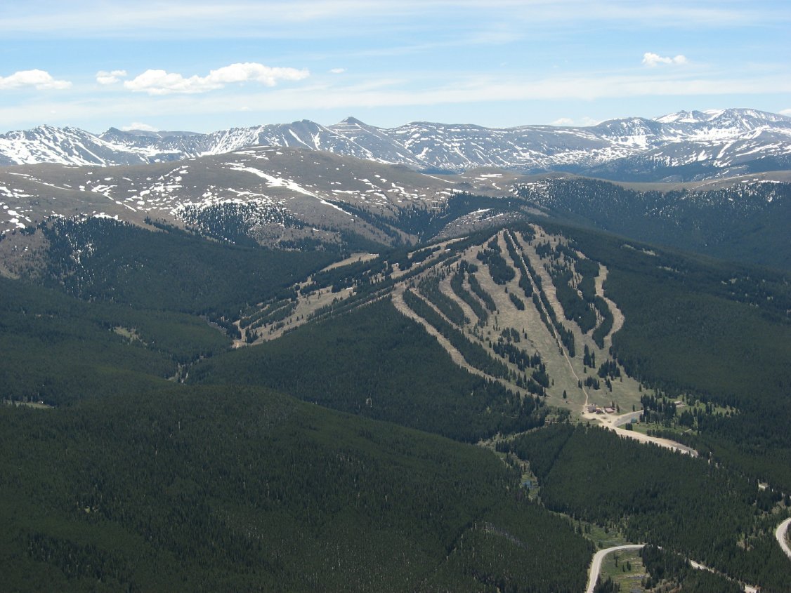
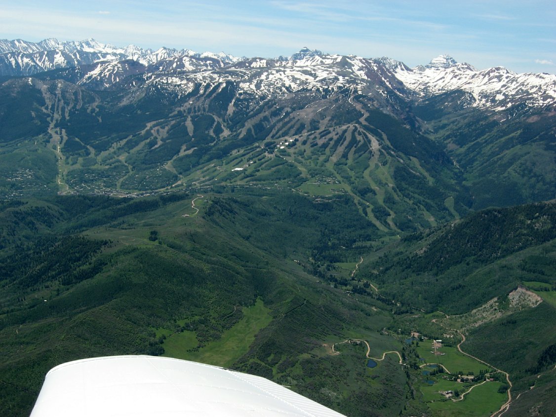 Beaver Creek |
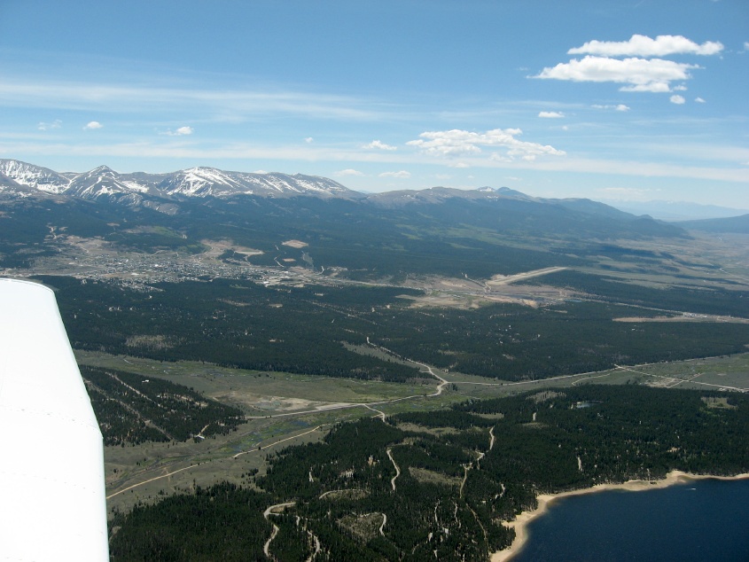
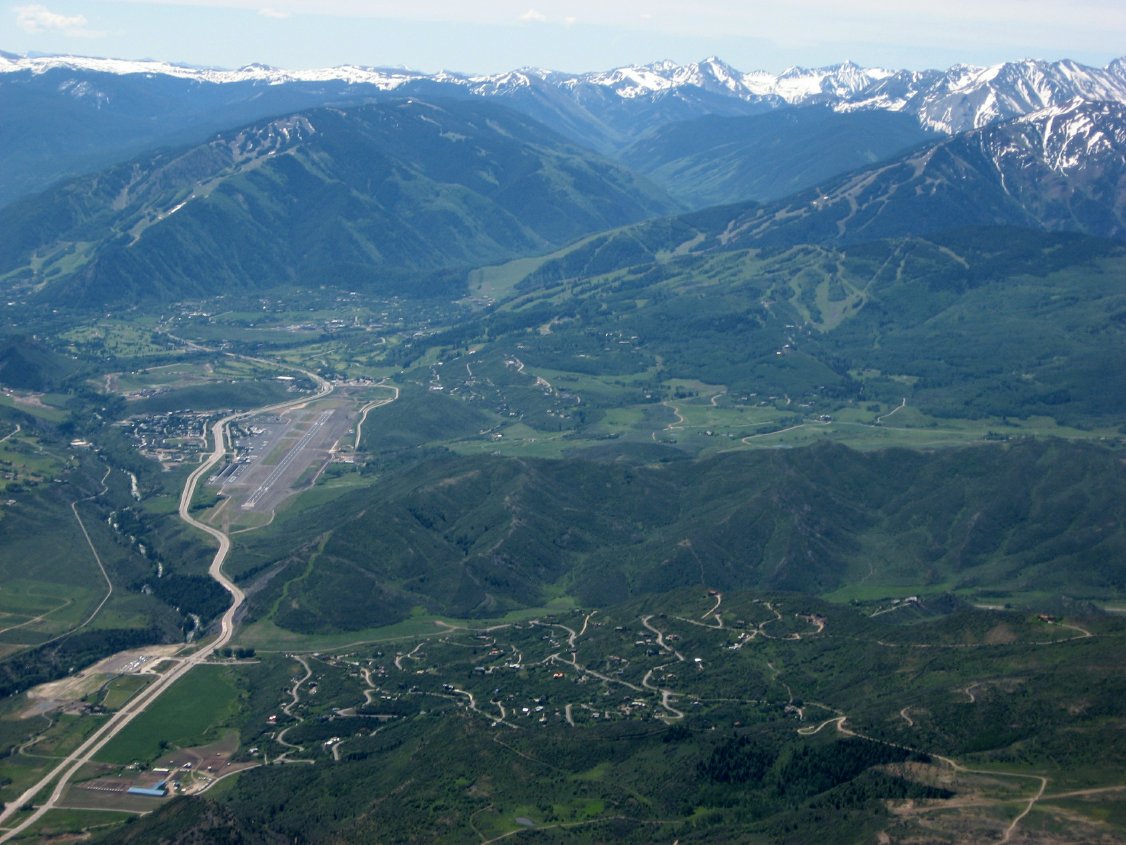 Vail Airport |
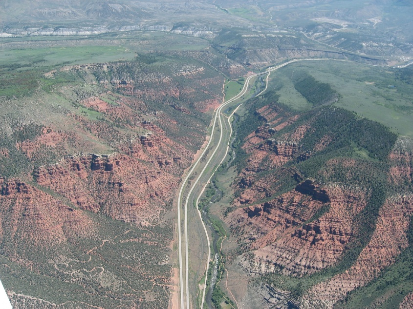 Red rocks |
 Vail mid-mountain restaurant |
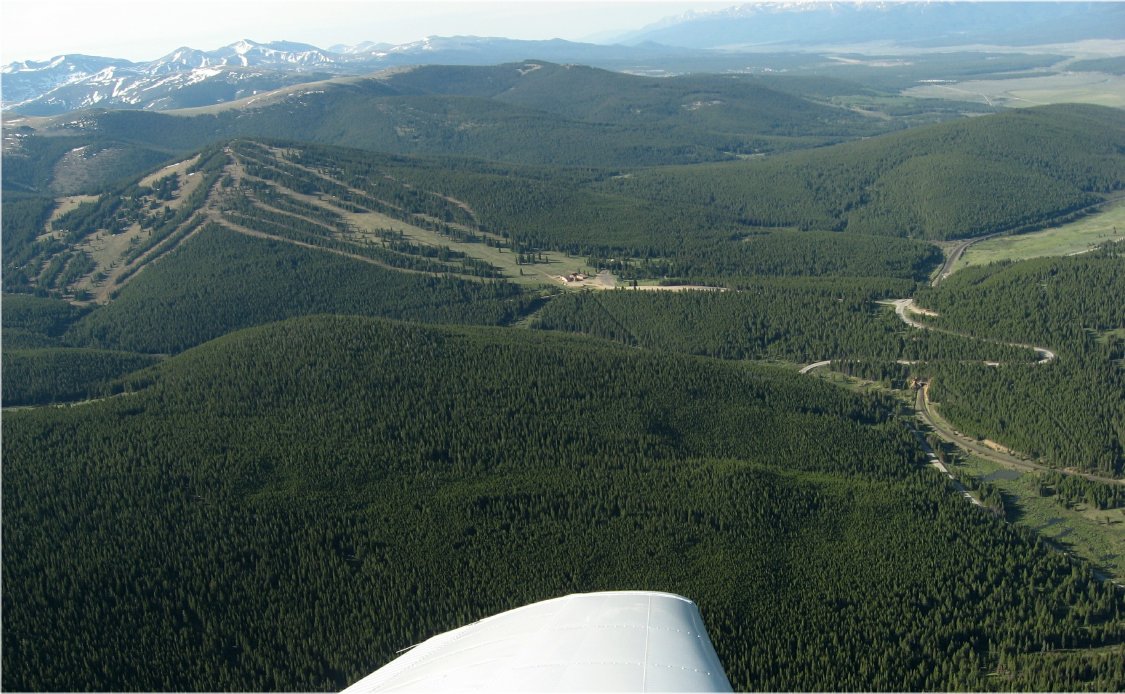
 Heading south to Leadville |
 Camp Hale where the 10th Mountain Division trained for WWII |
 Ski Cooper |
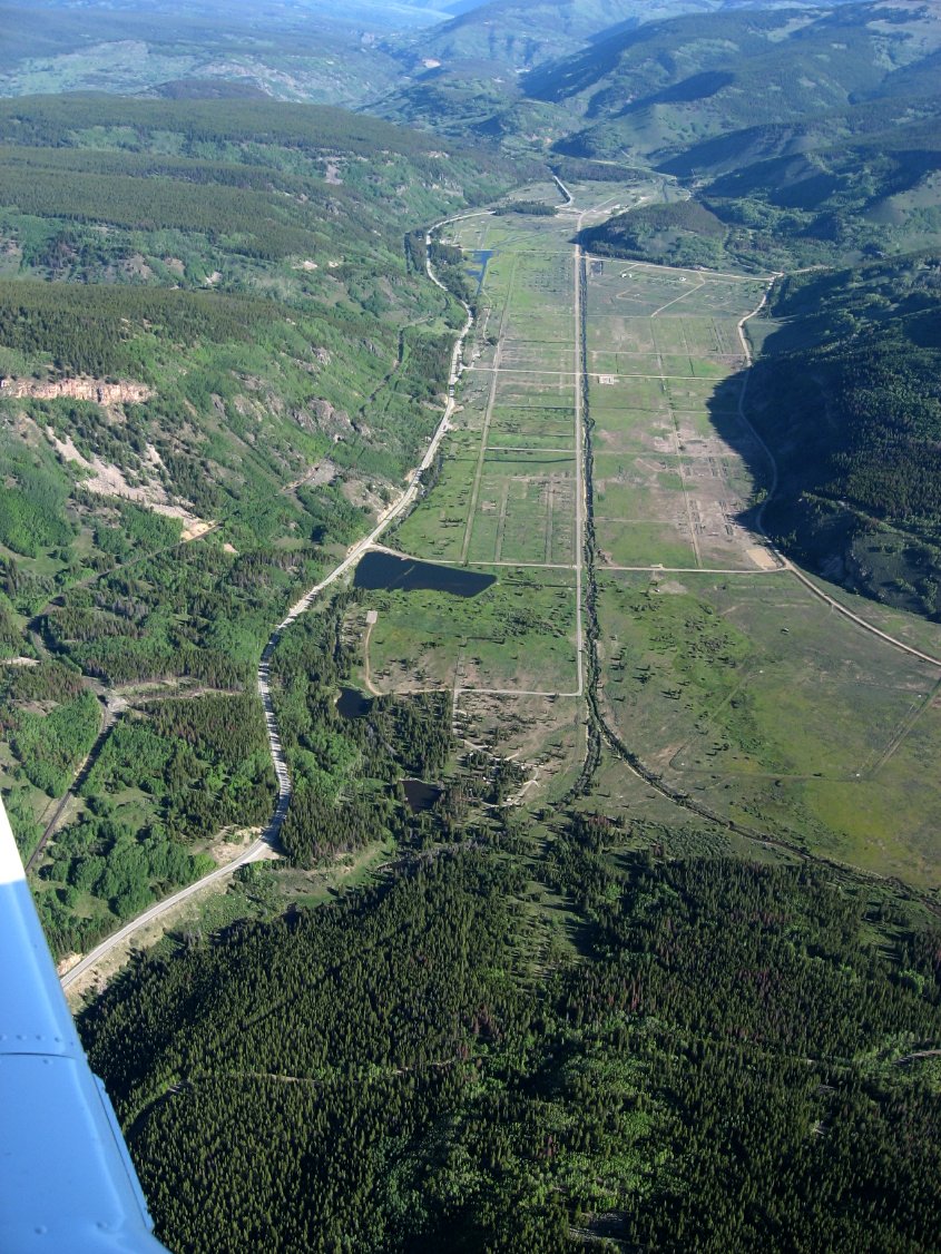
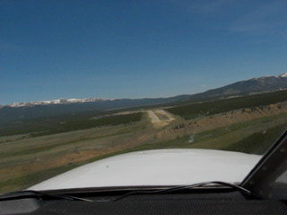
 Leadville airport in the distance |
 KLXV is on a mesa south of town |
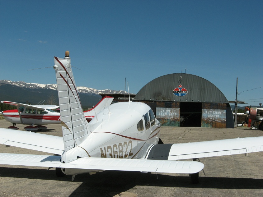 This is it. 9927 MSL. |
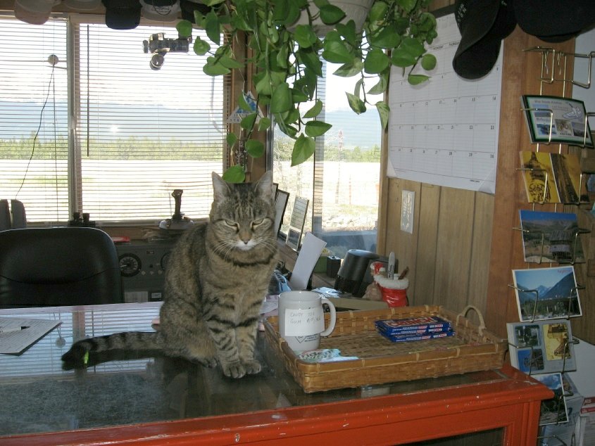 The airport cat |
 A reminder of the altitude |
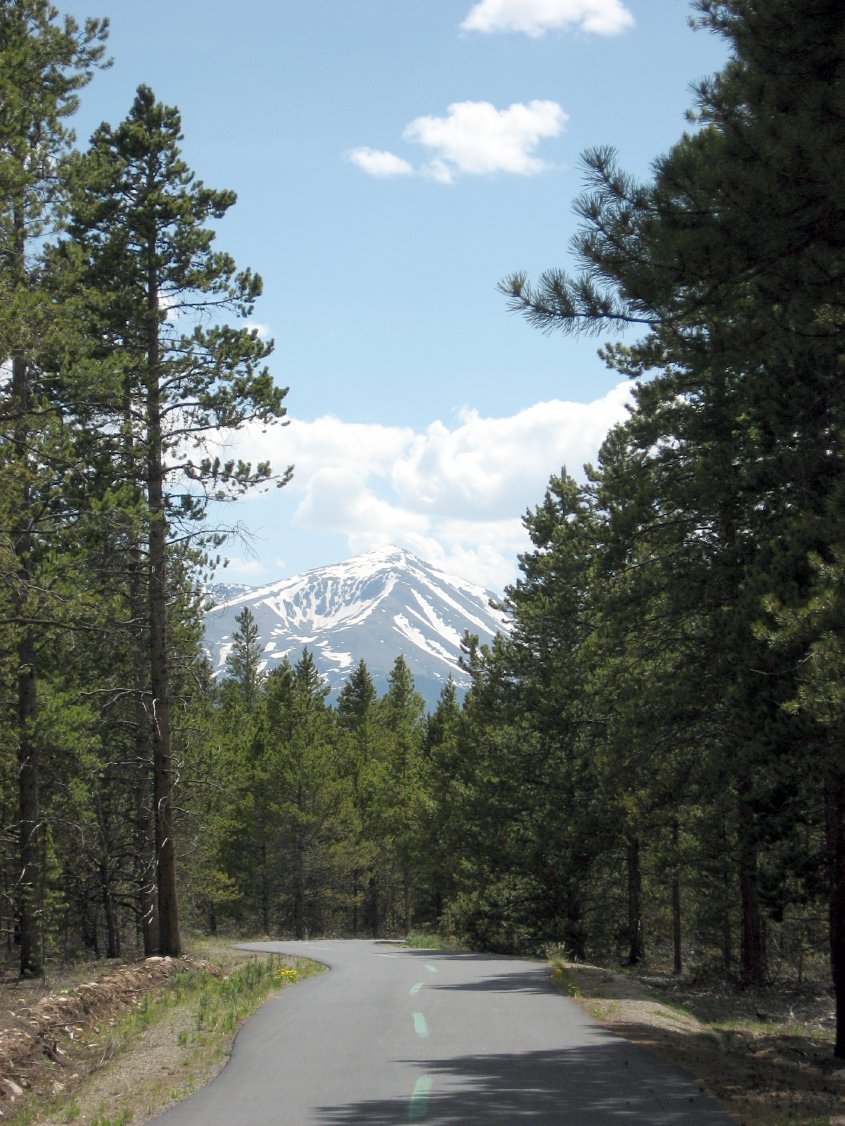 Pines and mountains |
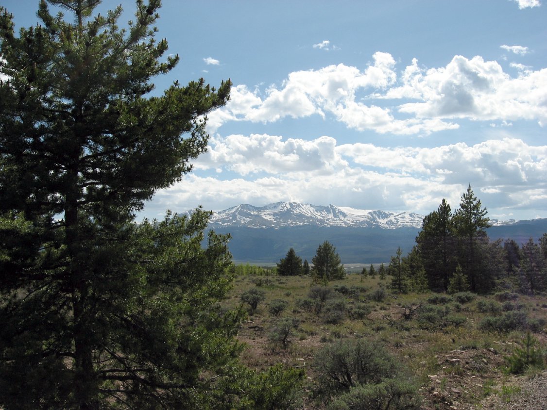 View from the Mineral Belt bike trail |
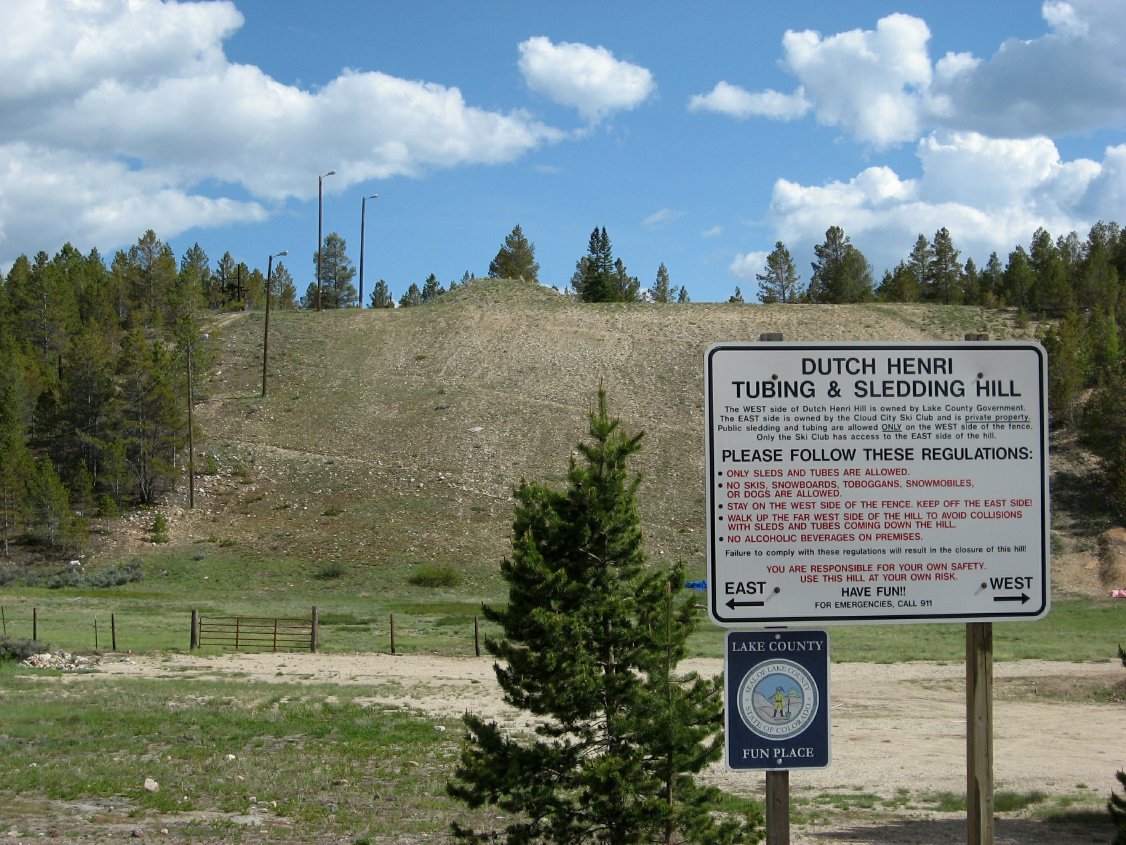 Nice sledding hill |
 Saloons of course, one of the oldest in town |
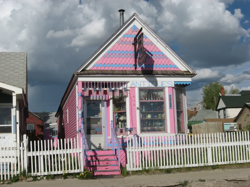 Dolled up houses |
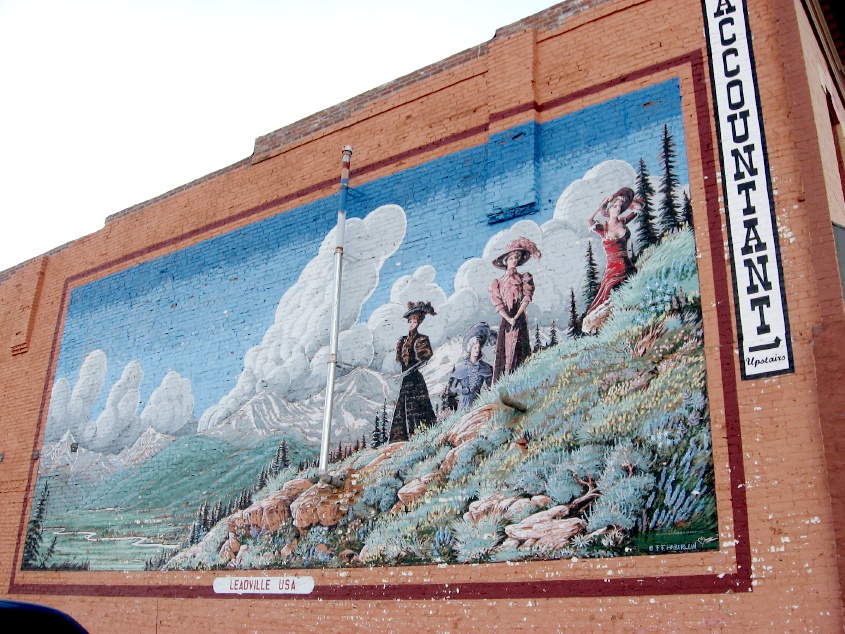 Murals too |
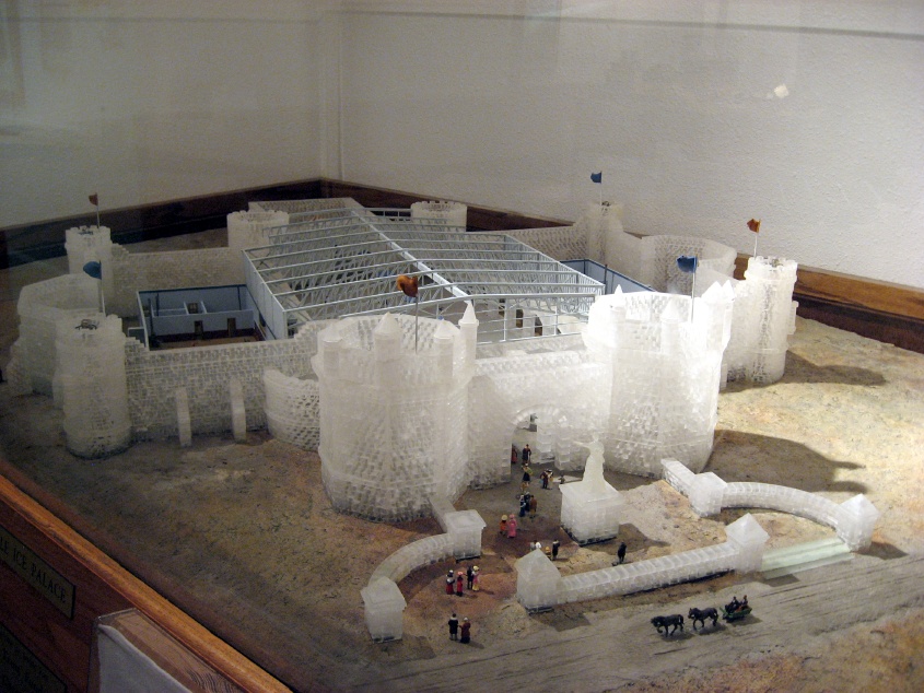 The Ice Palace from 1800's |
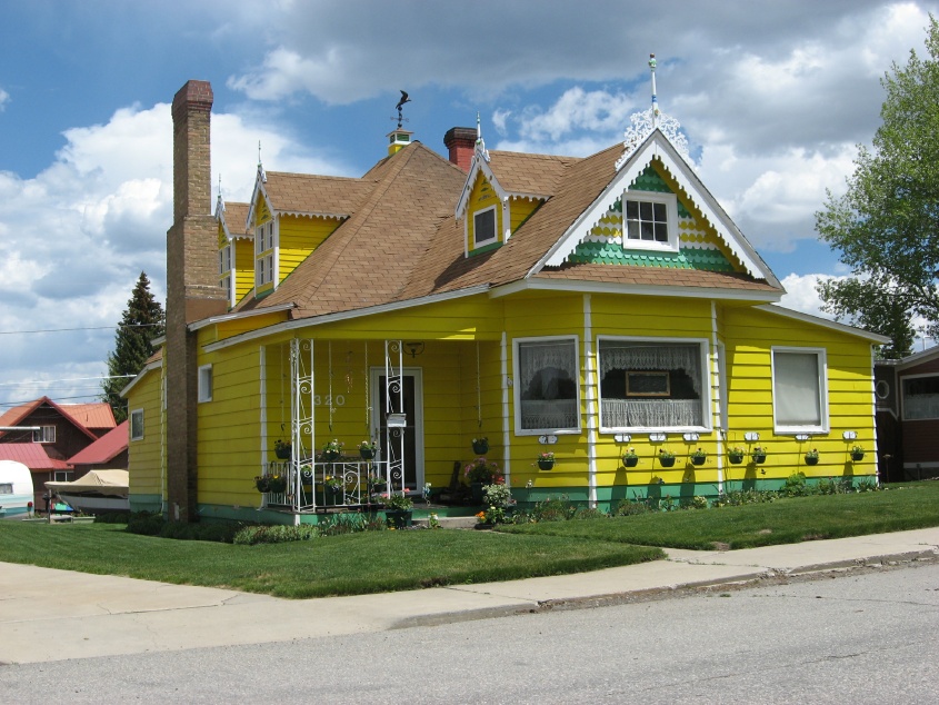 Another house you won't have trouble finding |
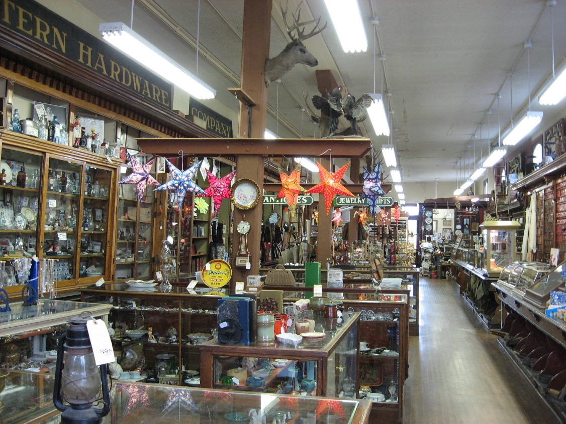 Hardware store |
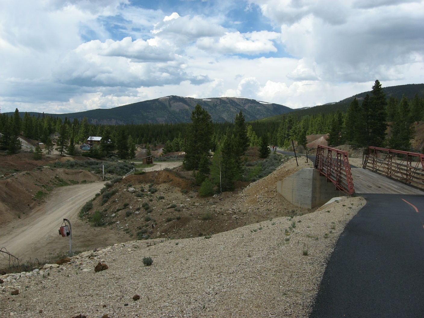 Mineral belt trail |
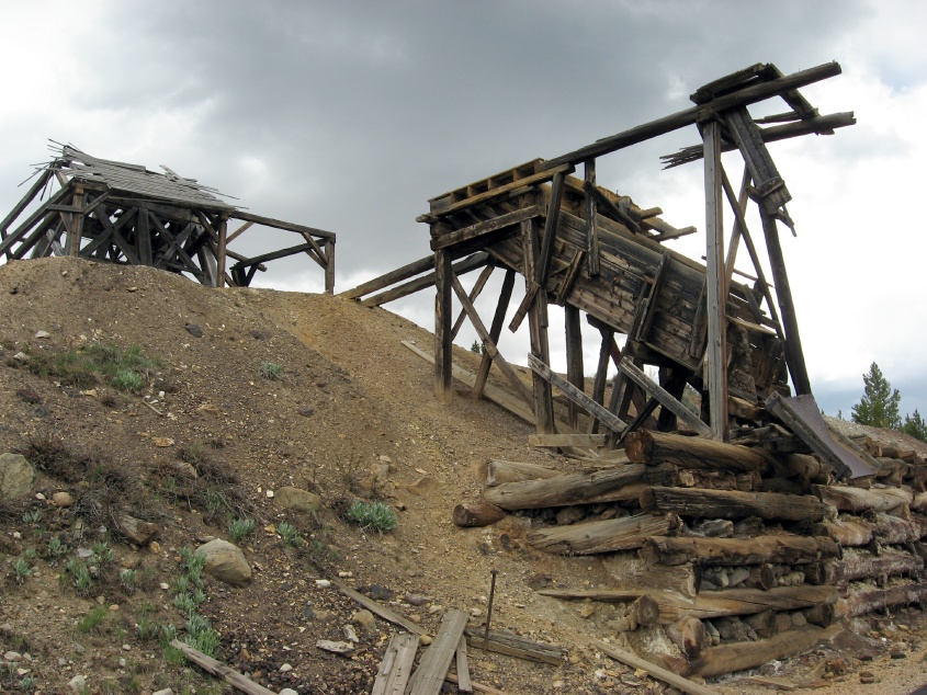 Remnants of an old mine |
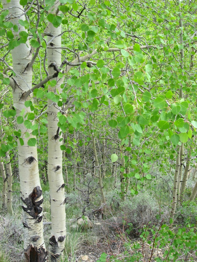 Ah... Aspens |
 Just my bike and me |
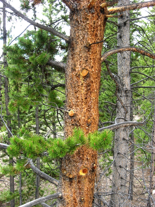 Pines... |
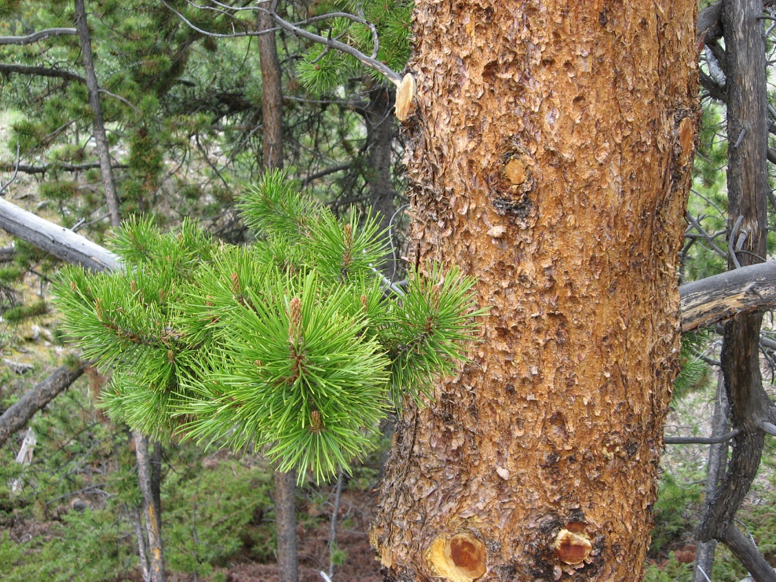 And pine frest scent |
 Looming storm in the distance |
 It liked to threaten rain in the afternoon |
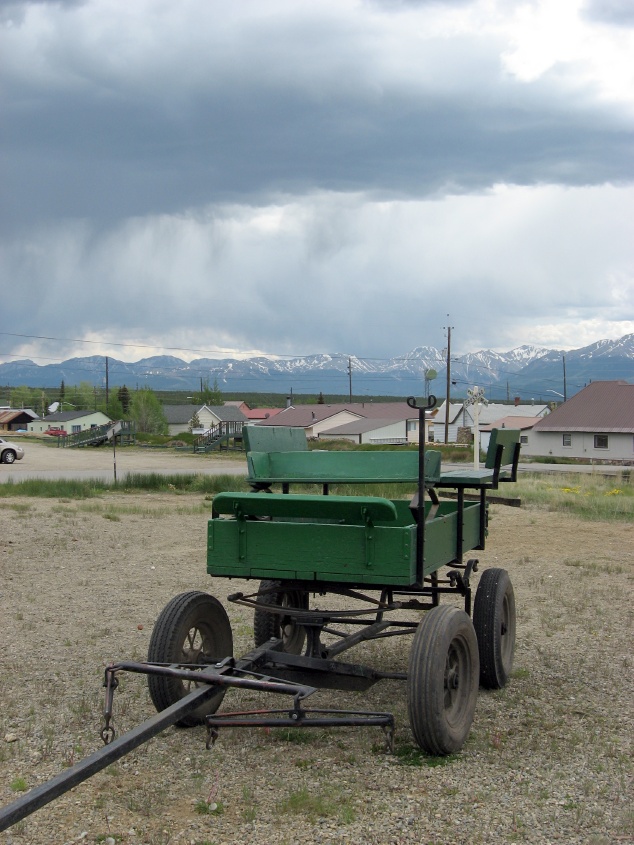
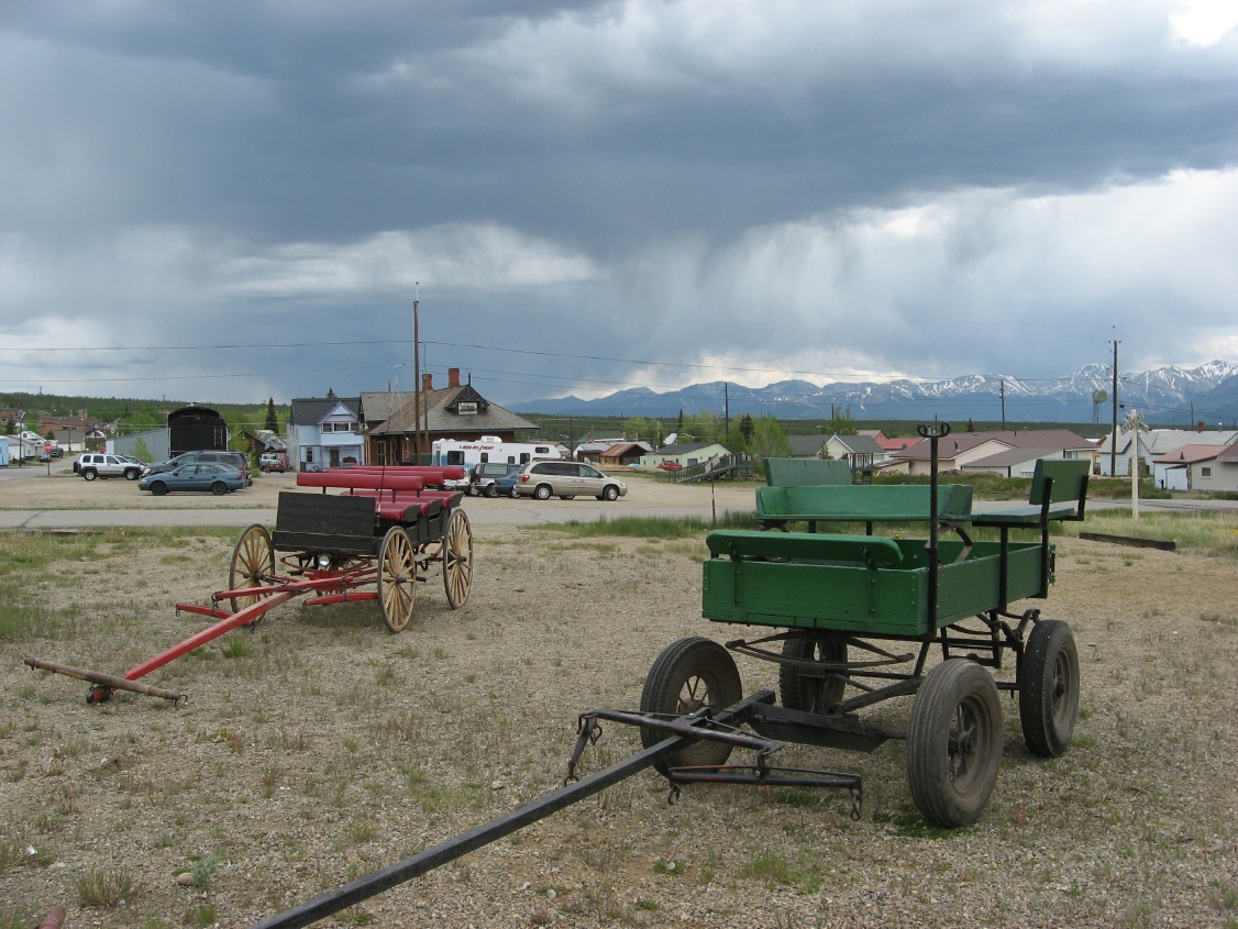
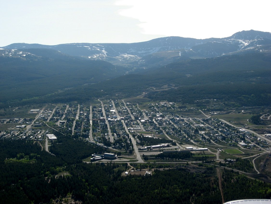
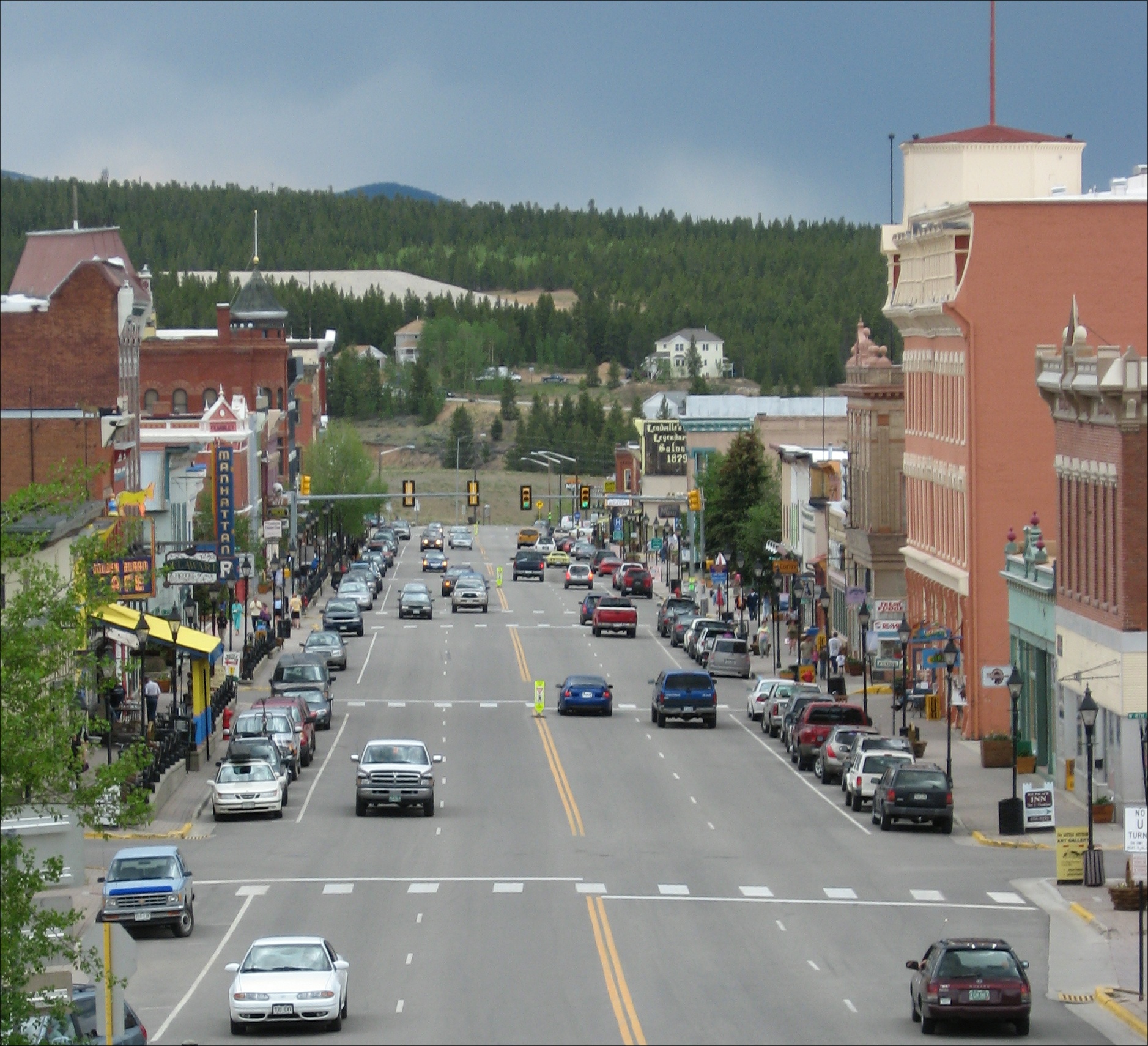 Downtown Leadville |
 A hotel lobby and cowboys |
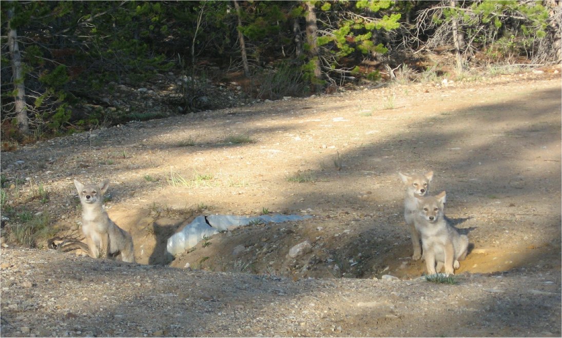 Prarie Dogs |
 Surprise, it rained after all and froze on my wing |
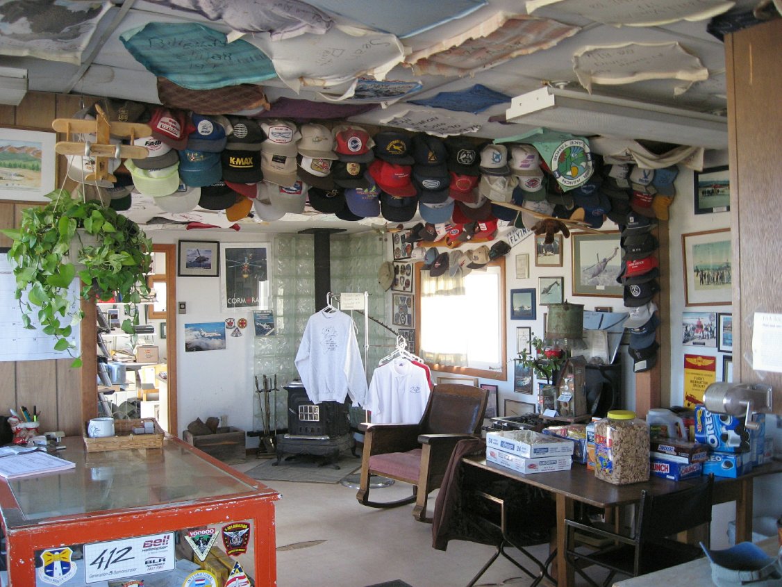 LXV FBO |
 Took the wet frost off in shorts of course |
 Taxi out at LXV |
 14ers in the distance |
 Leadville streets |
 North pass out of Leadville to Vail |
 Past Ski Cooper again |
 Camp Hale |
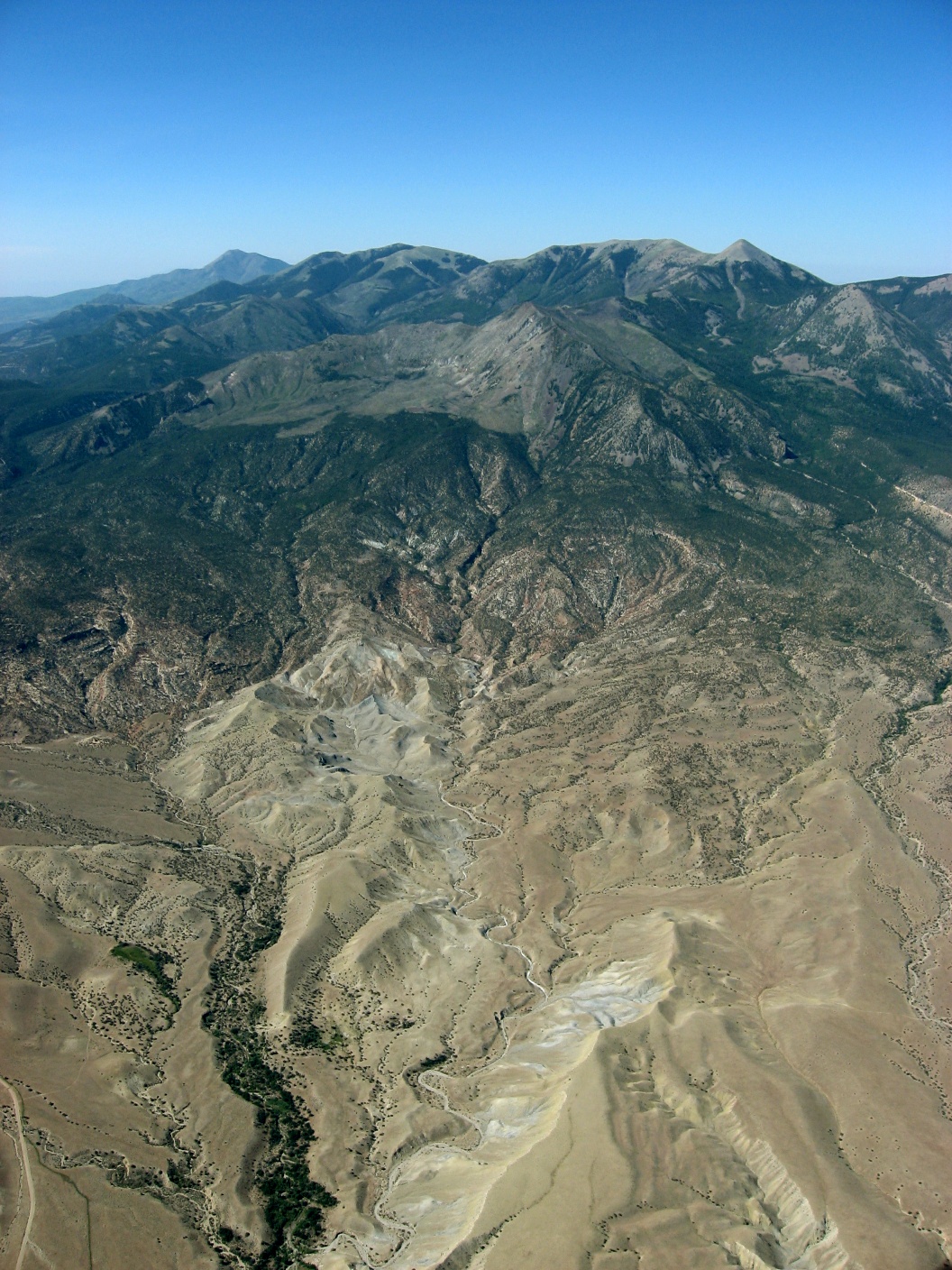
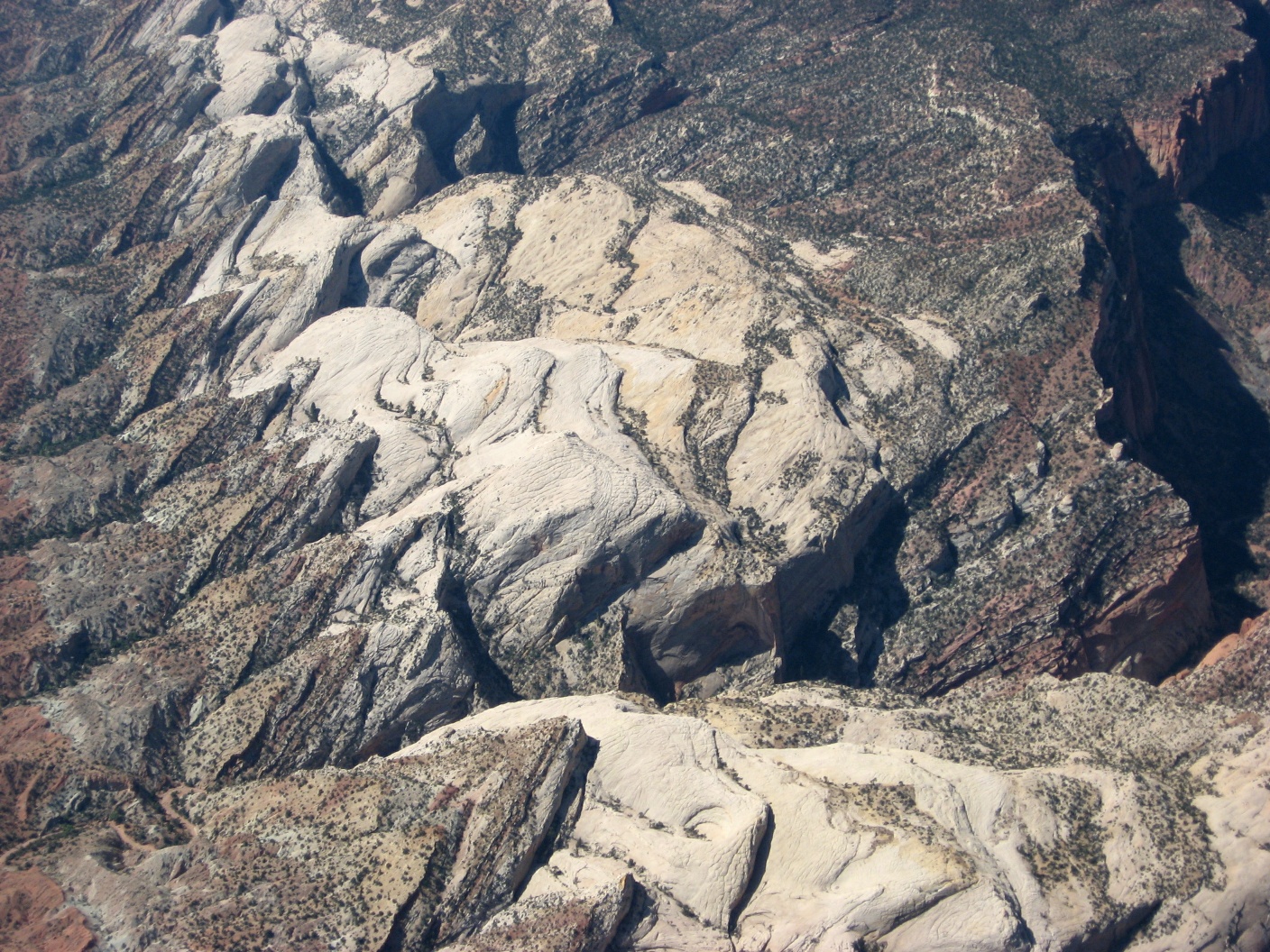
 More granite |
 A sheen on the pines from the rain last night |
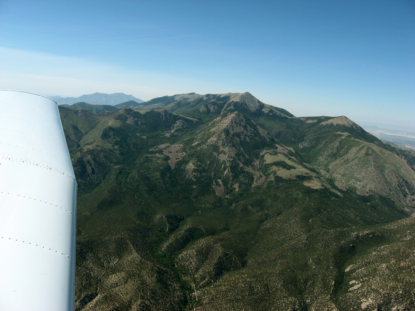
 Mountain ridge and peaks |
 Some weathered peaks |
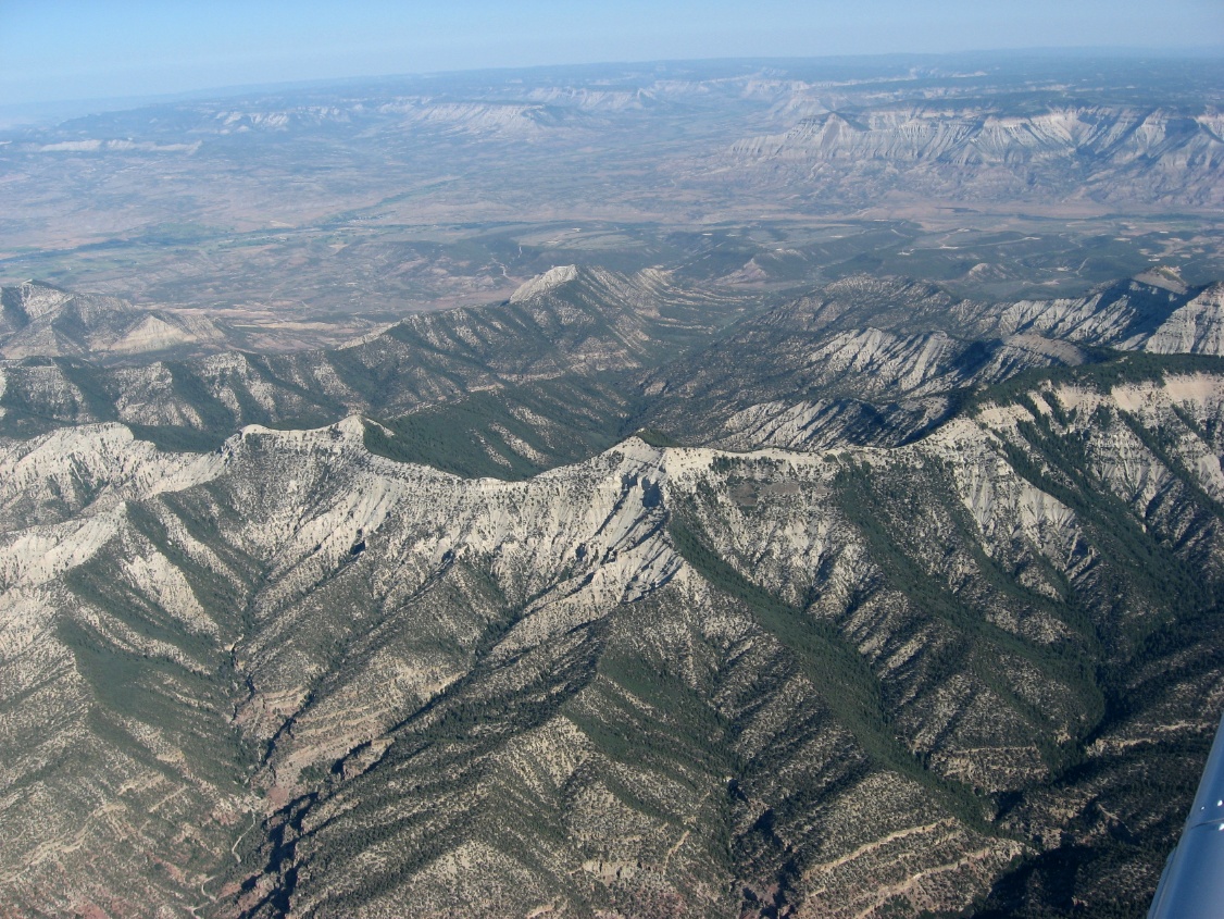
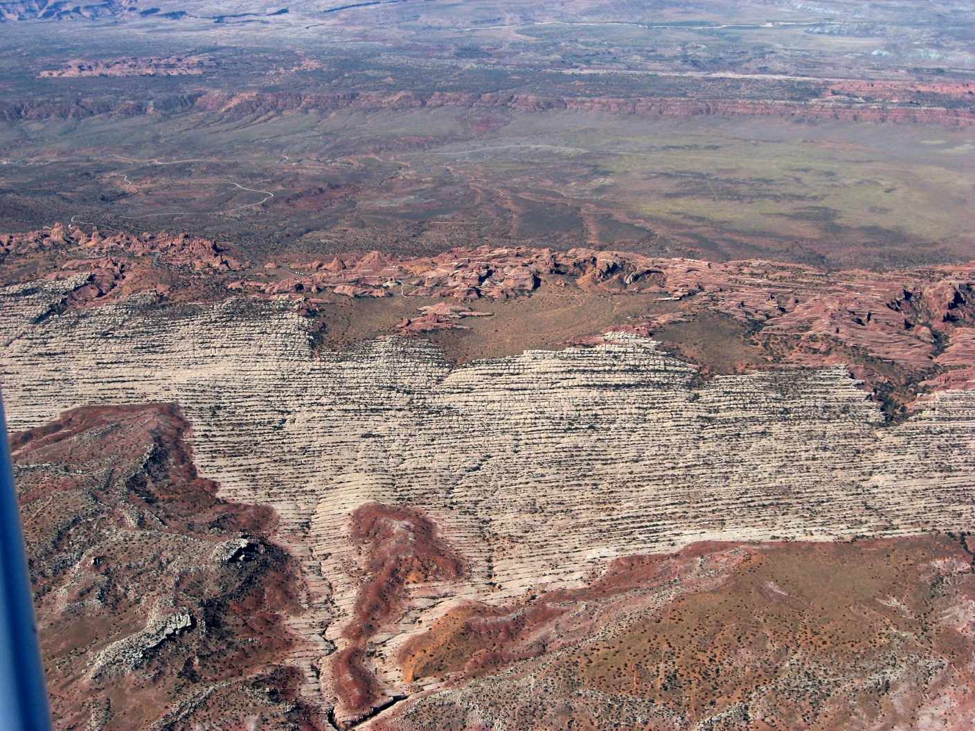
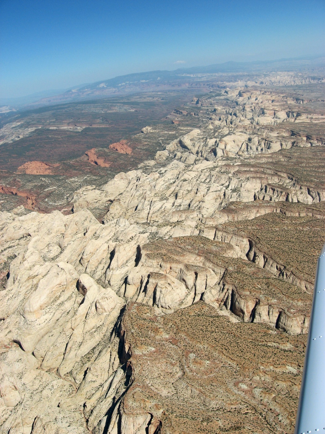
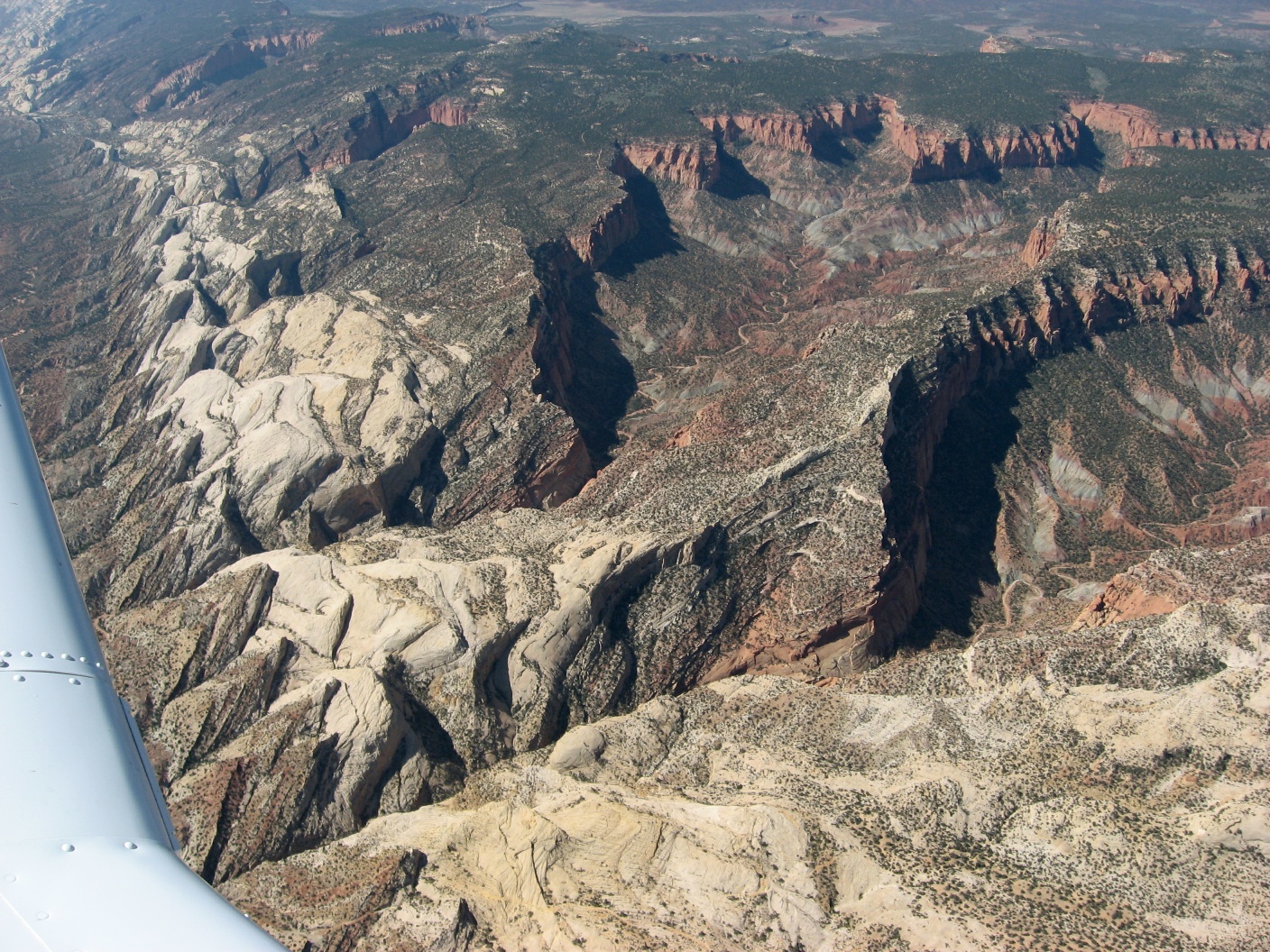
 A green mesa |
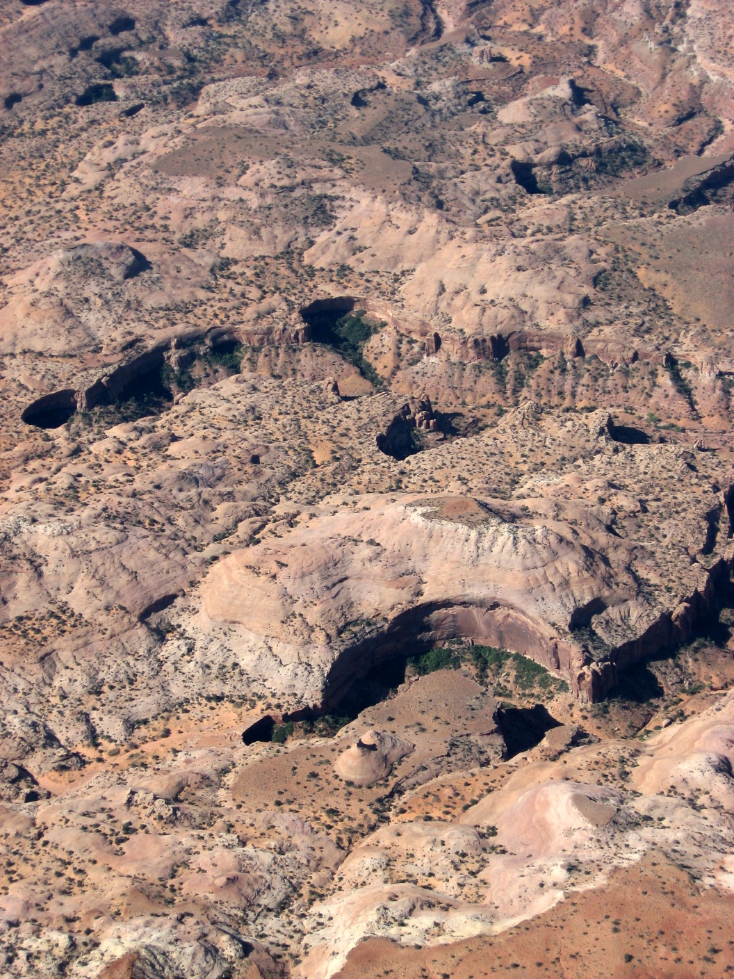
 Erosoin + |
 Closer view |
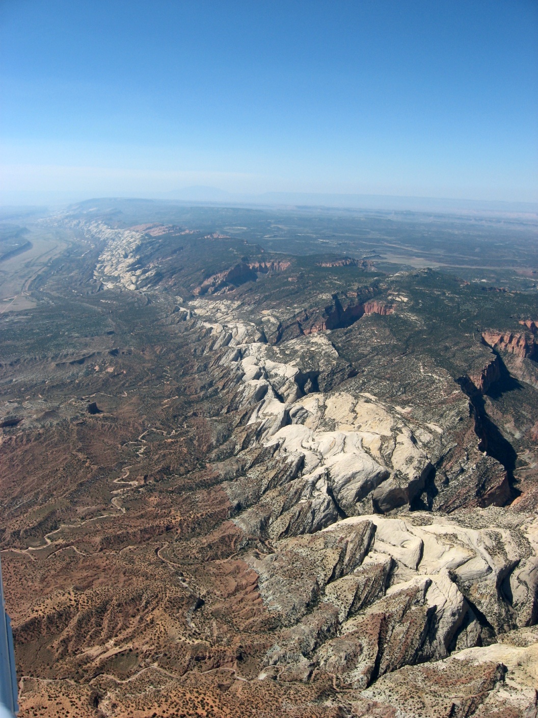
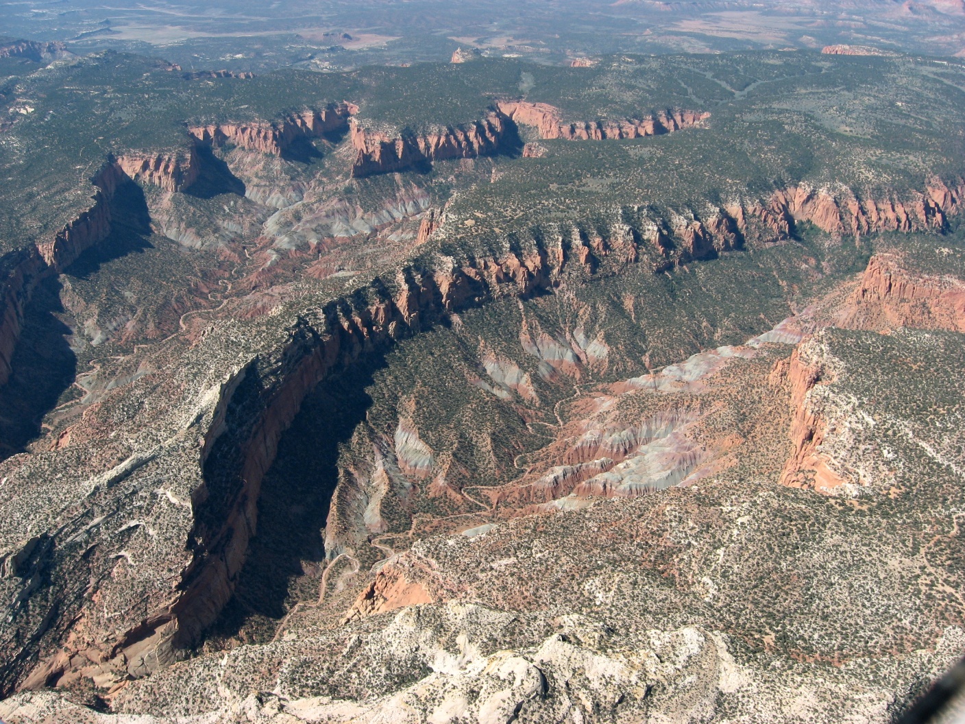
 Looking back east |
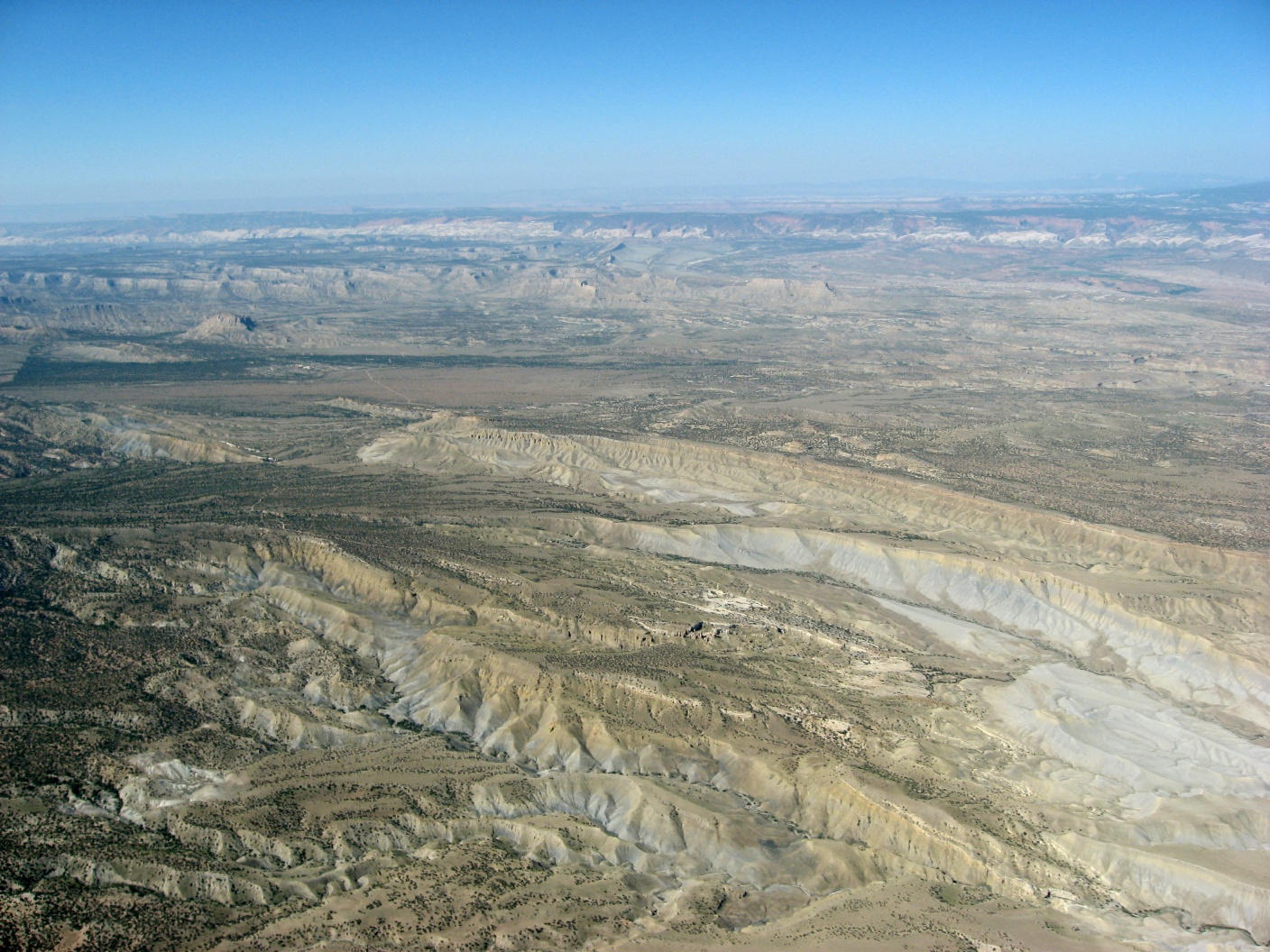
 More mesas and valleys |
 Amazing mix of colors |
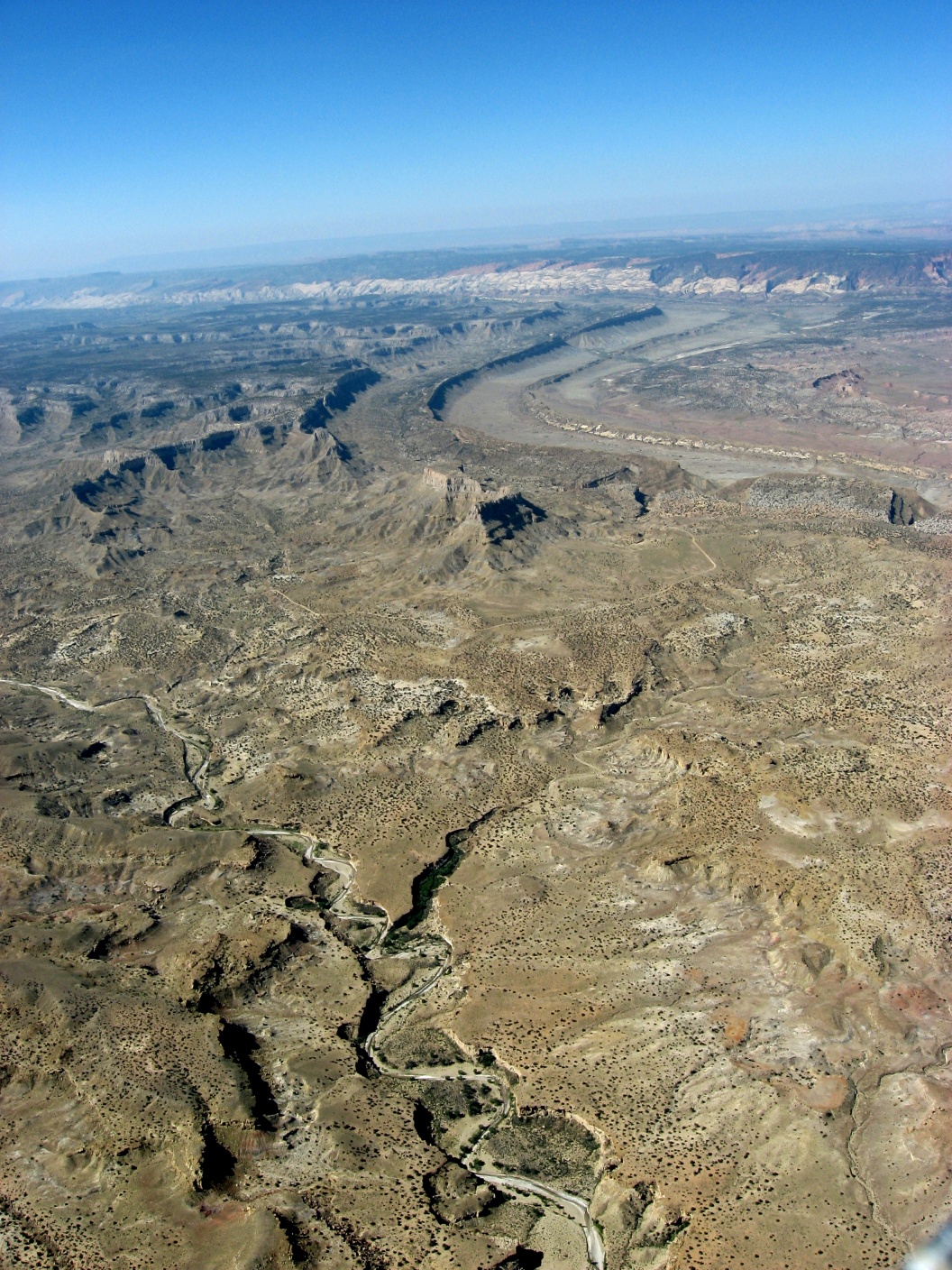
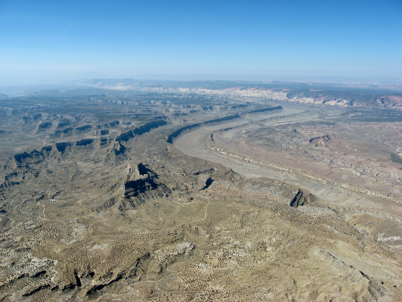
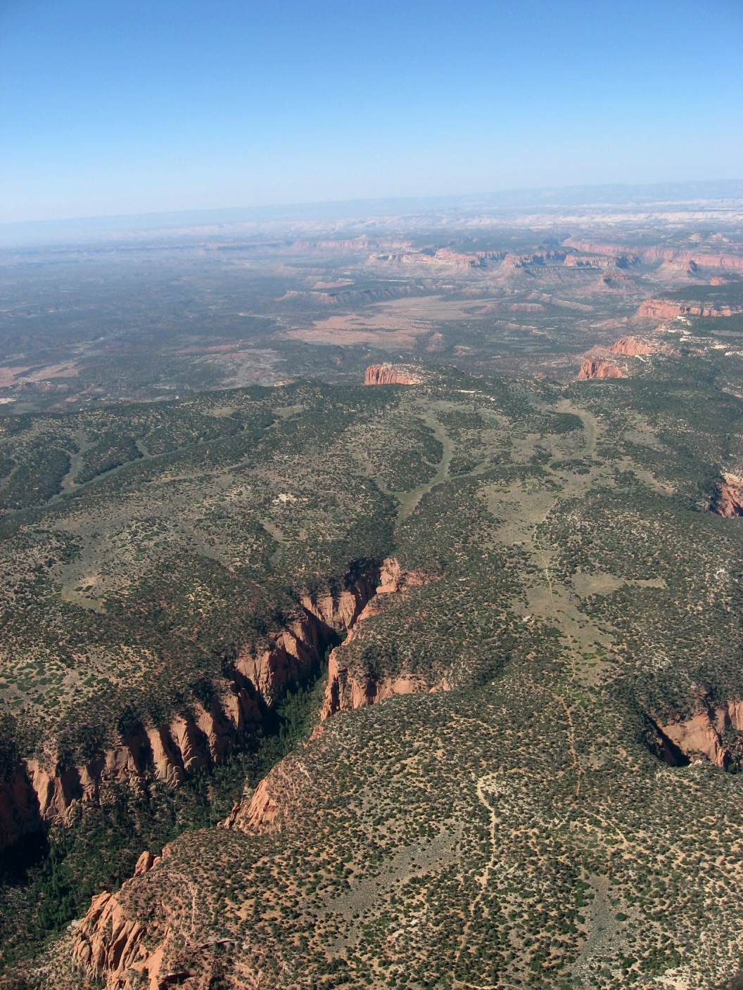
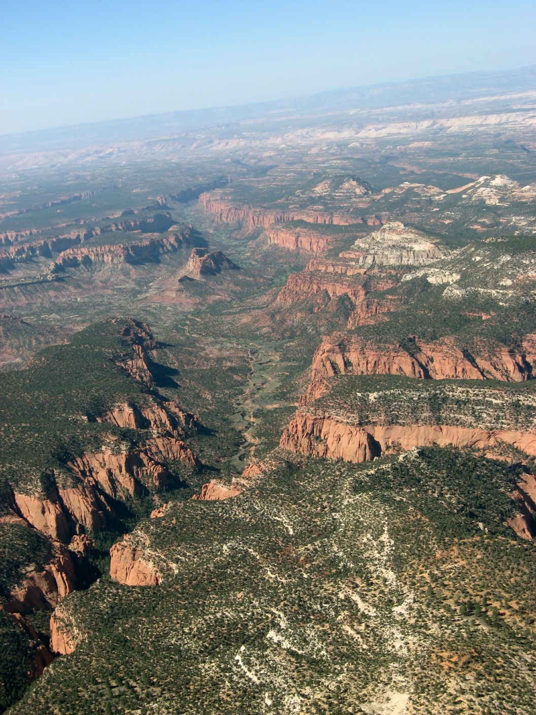
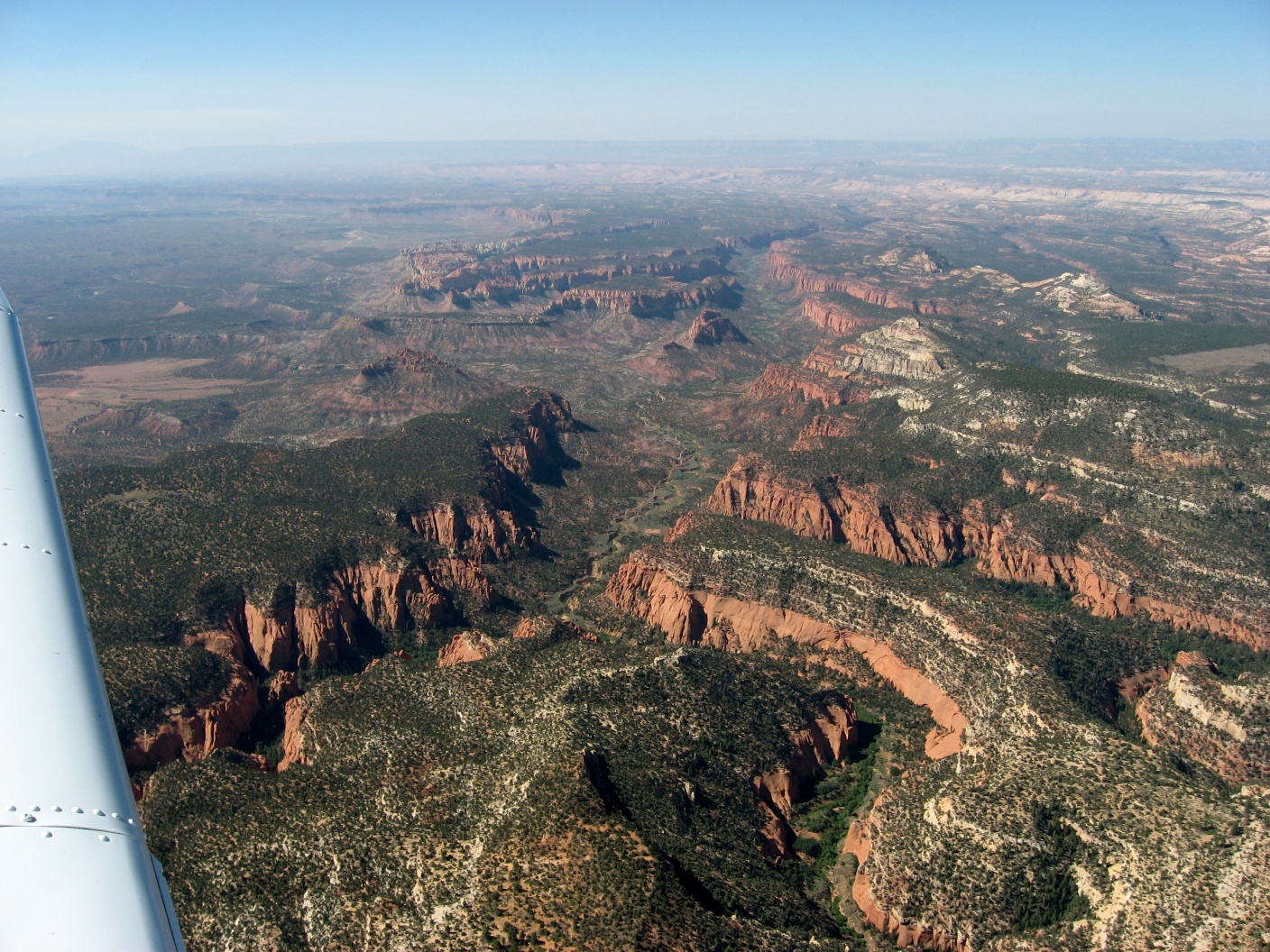
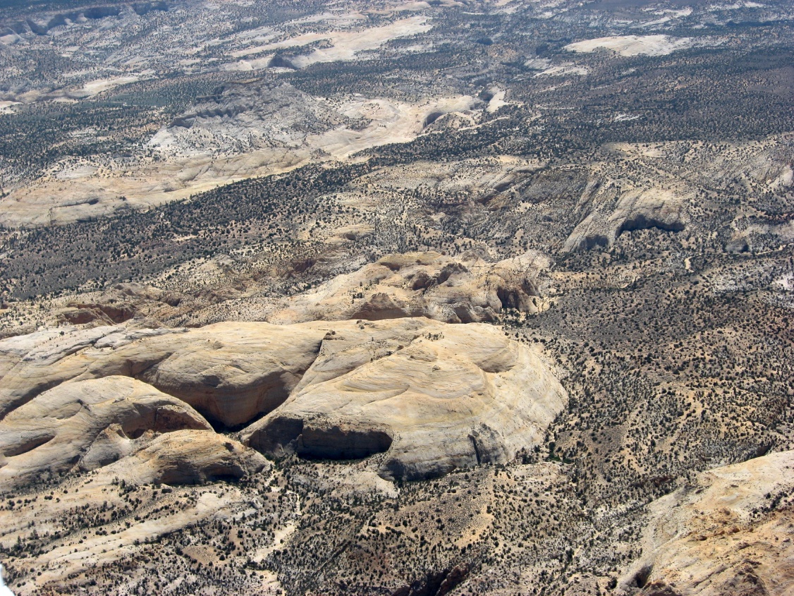
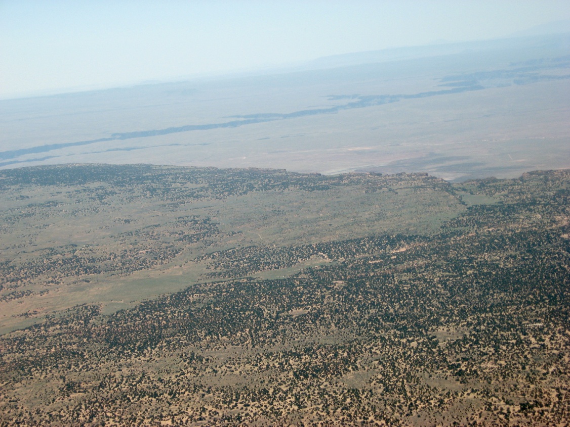
 Canyon country in Utah |
 Desert near Hanksville, UT |
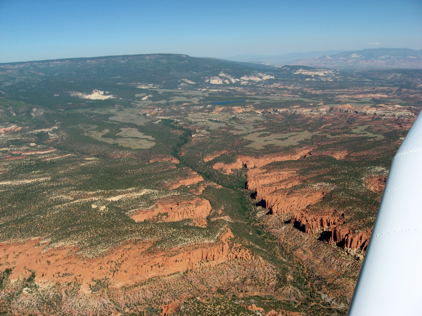
 Mount Waas to the south |
 Remains of old volcanoes |
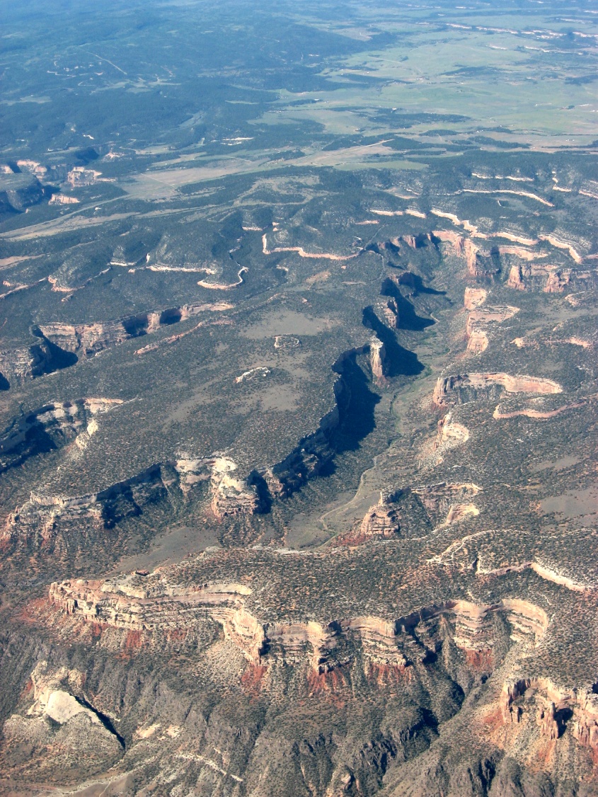
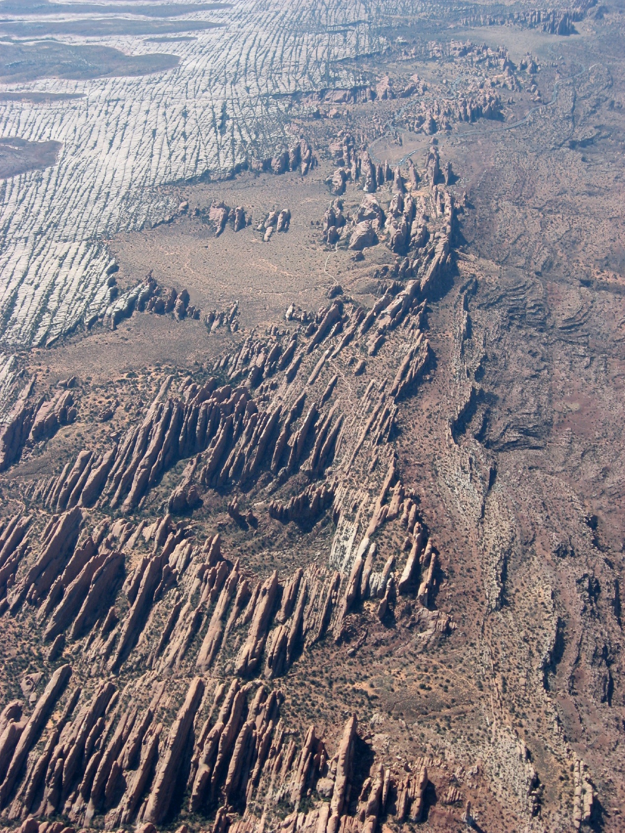
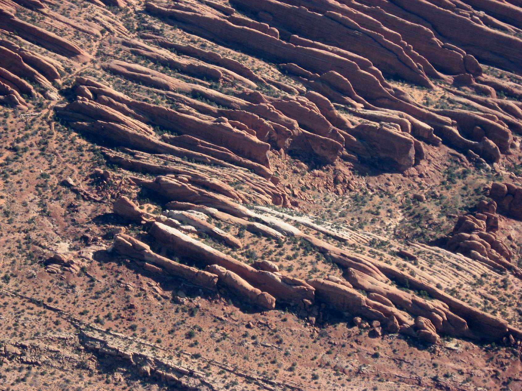
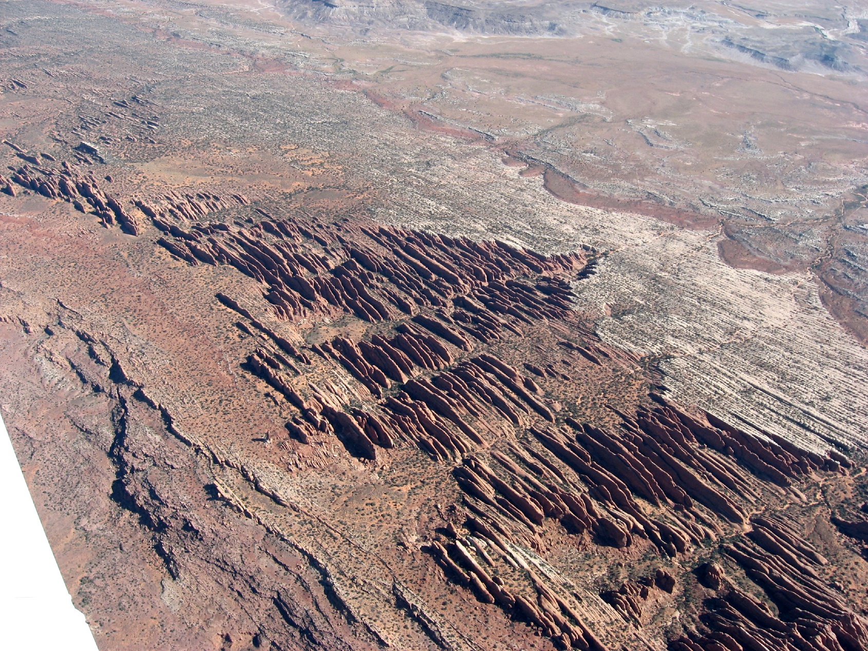
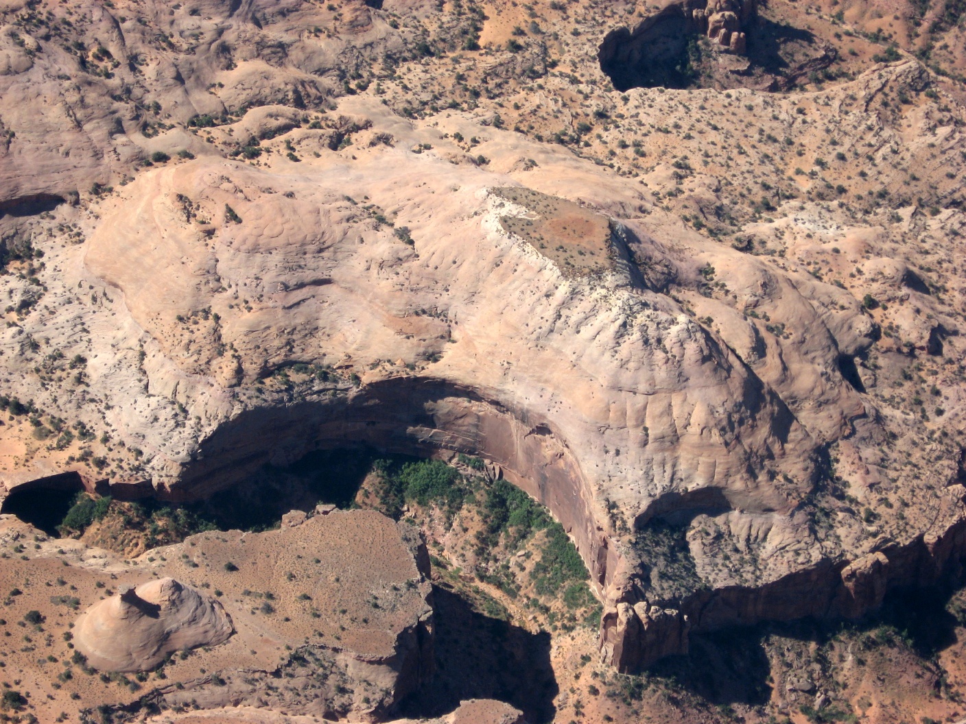
 Arches National Park |
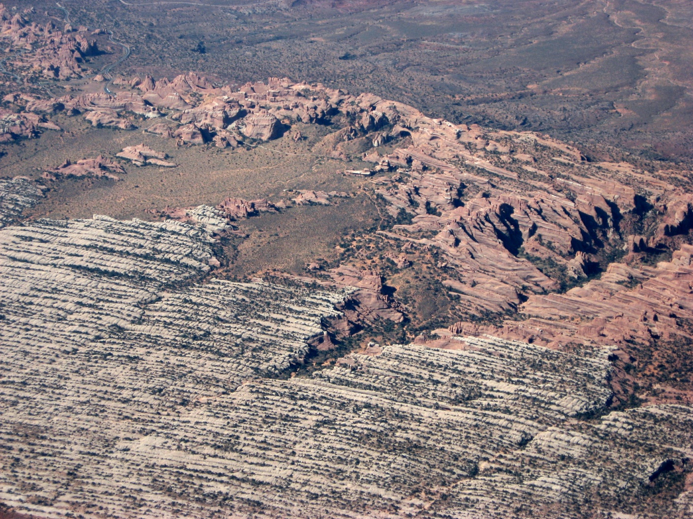 Something you don't see from the ground |
 There's arches in some of these photos |
 Canyons and arches |
 On fins of rock turned sideways |
 Arches NP |
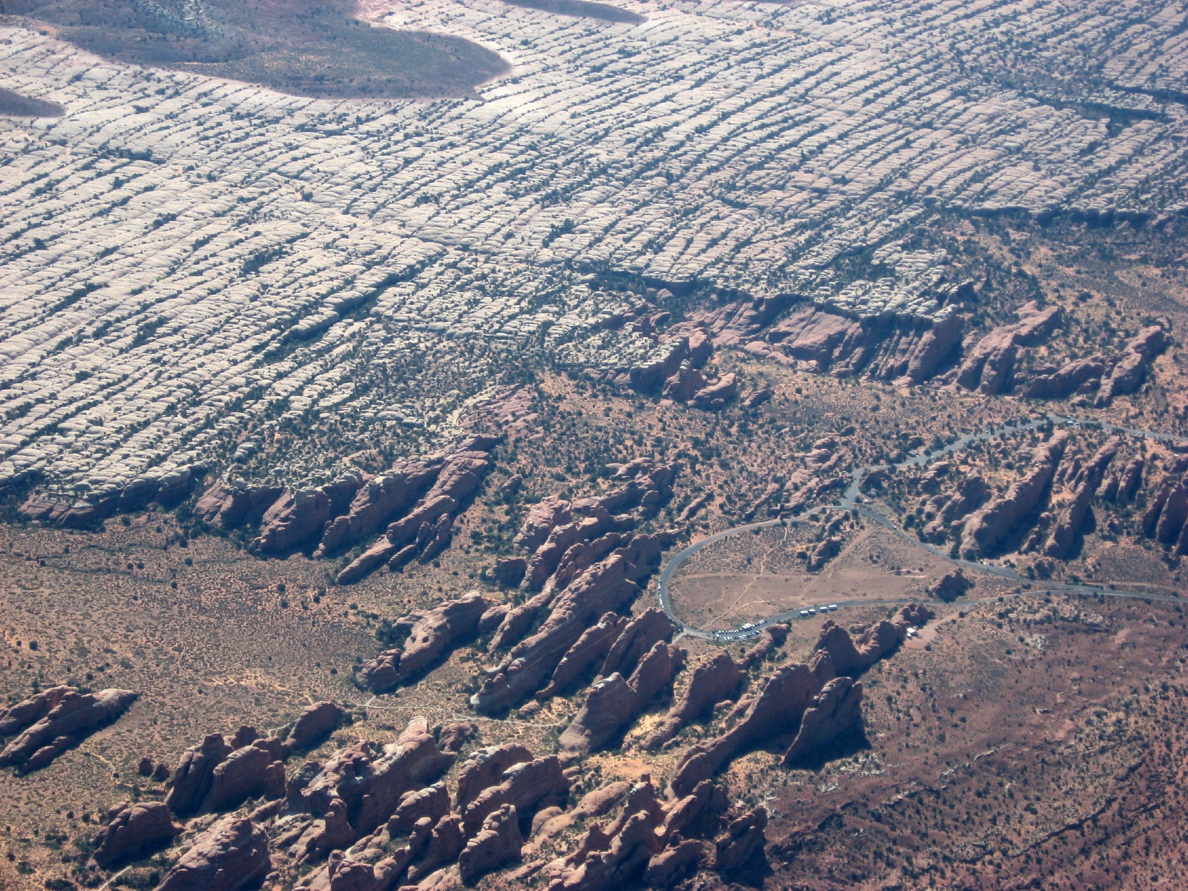 The loop at the north end of Arches |
 Arches NP |
 Arches NP |
 Moab-Canyonlands aiport KCNY |
 Arches NP |
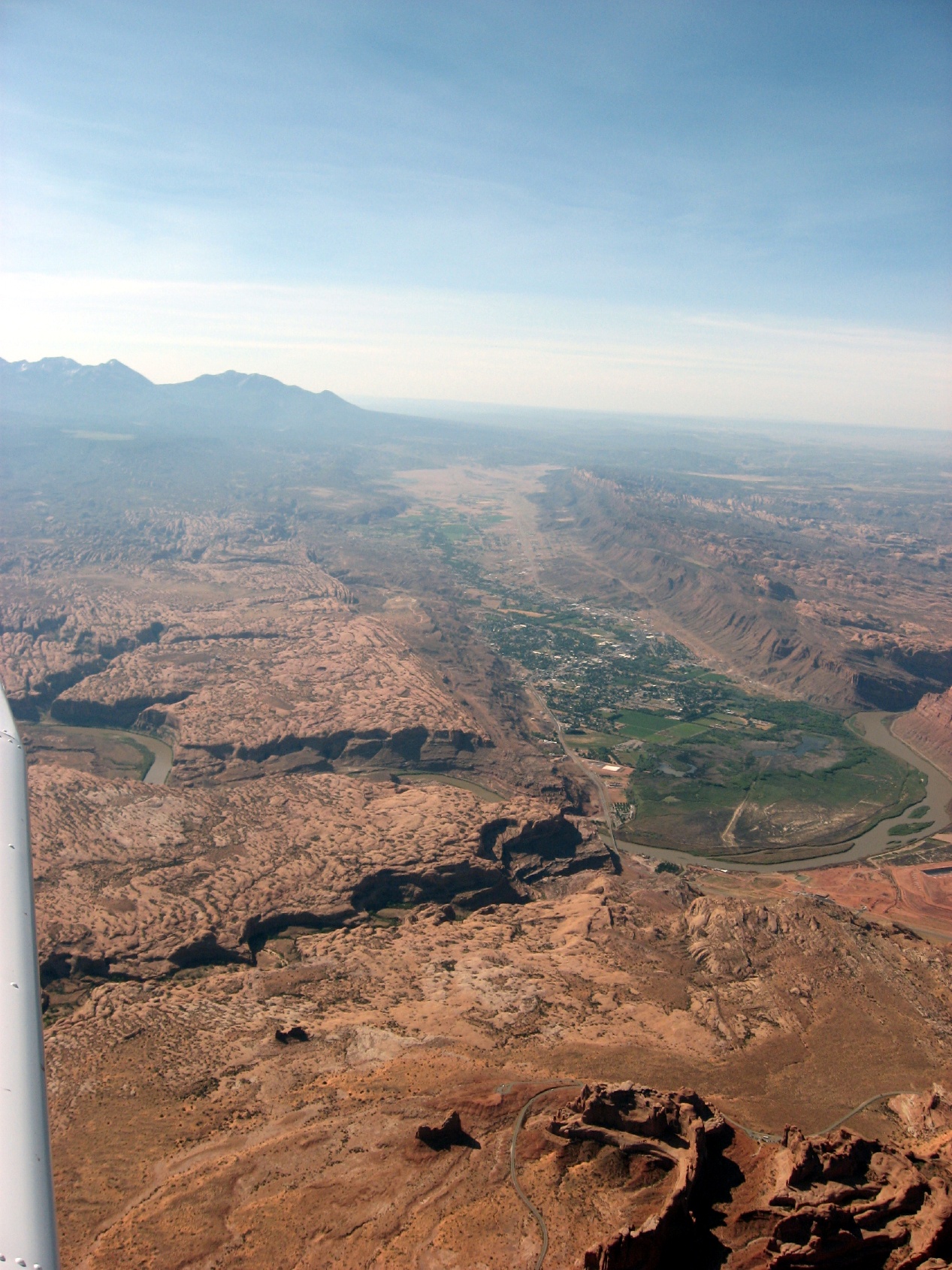
 Flying south to Moab, UT |
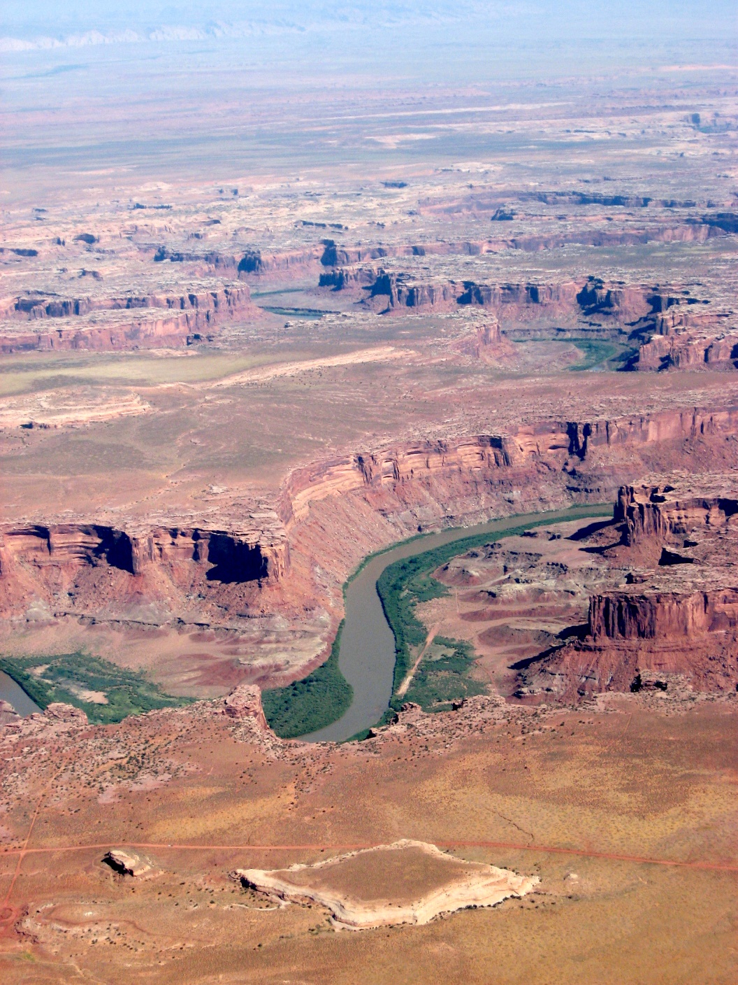
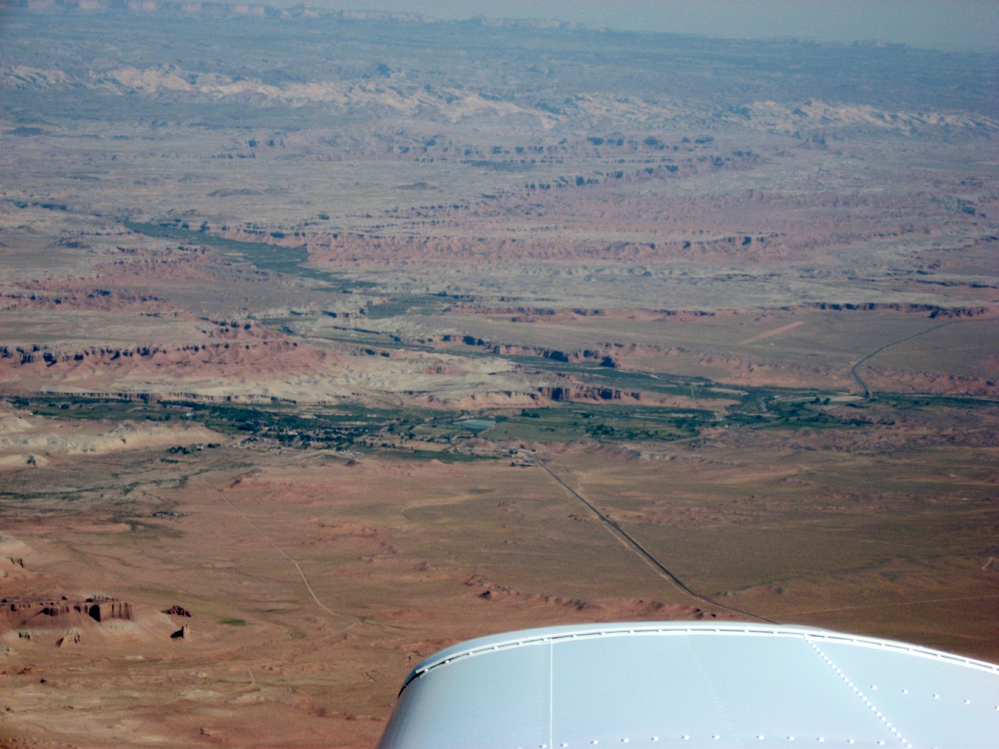
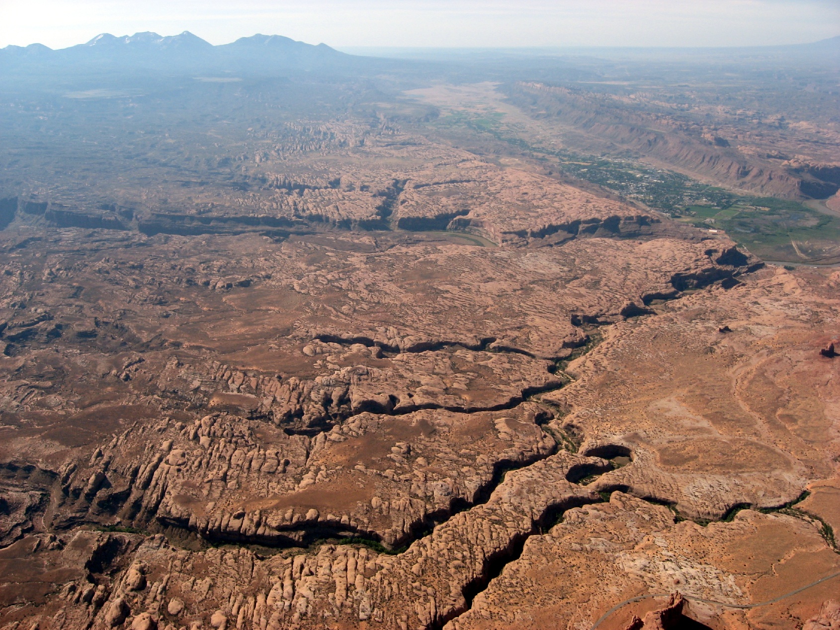 Green River valley at Moab |
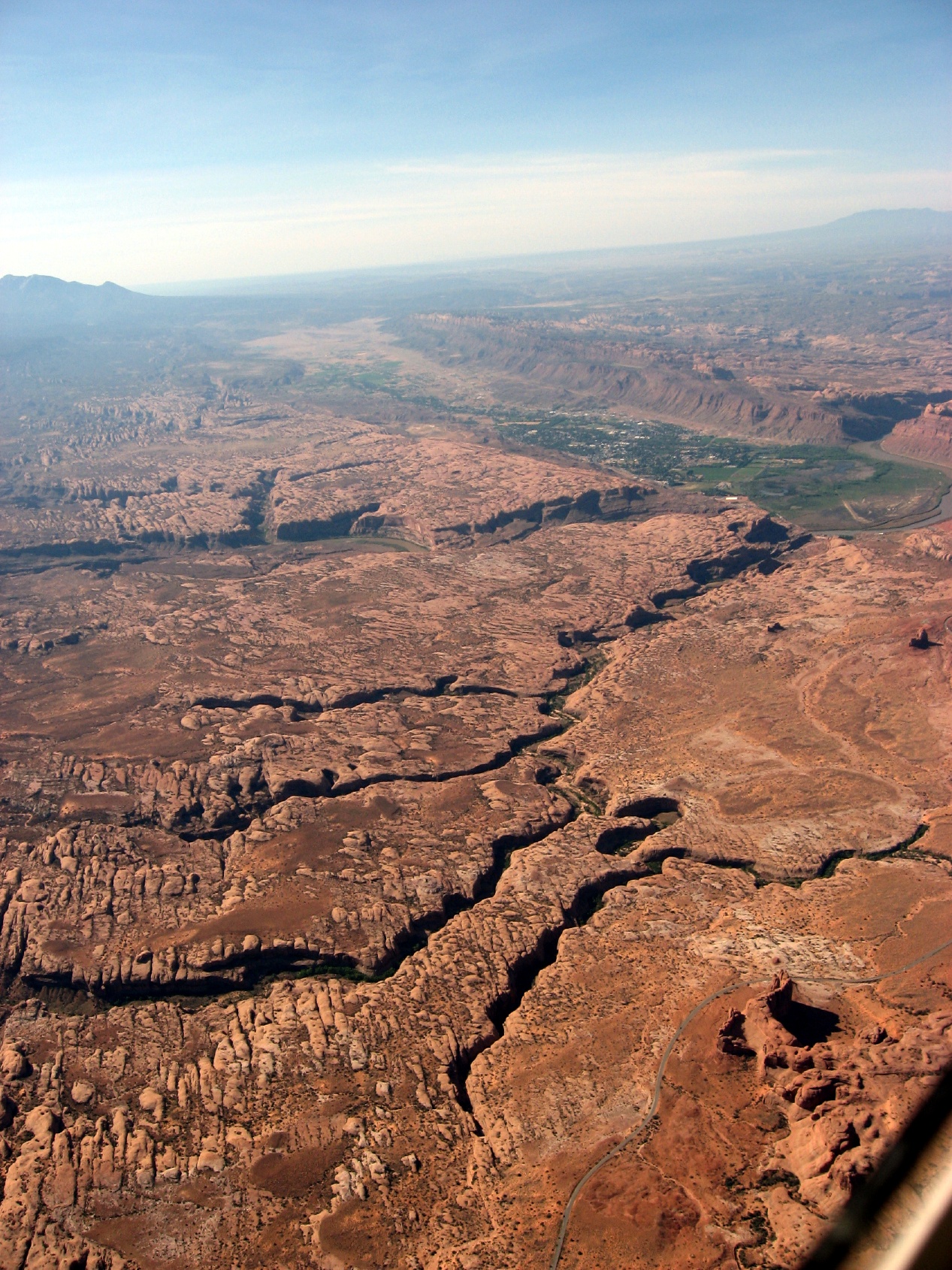
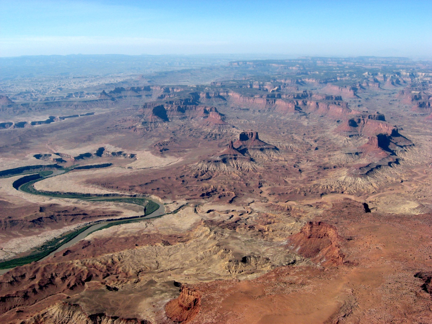
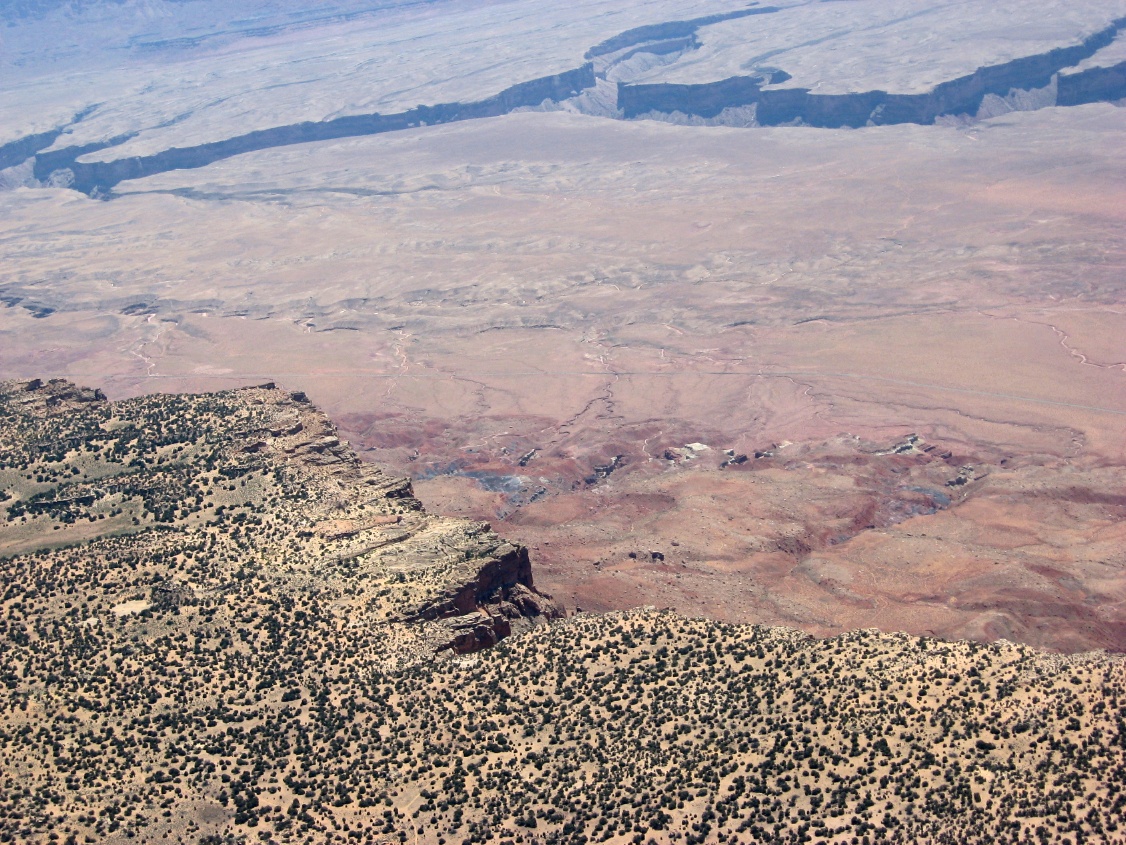
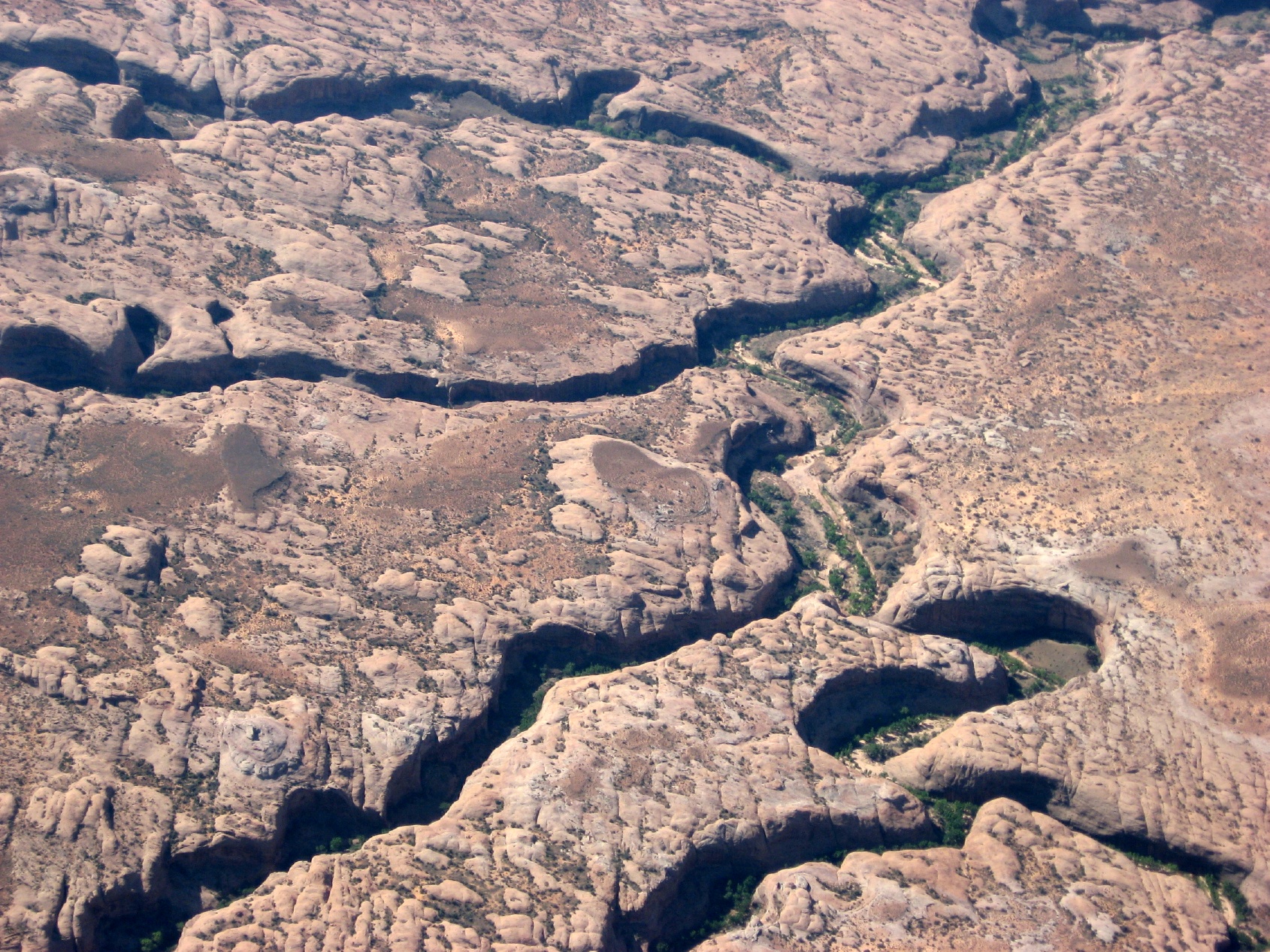 More canyon country |
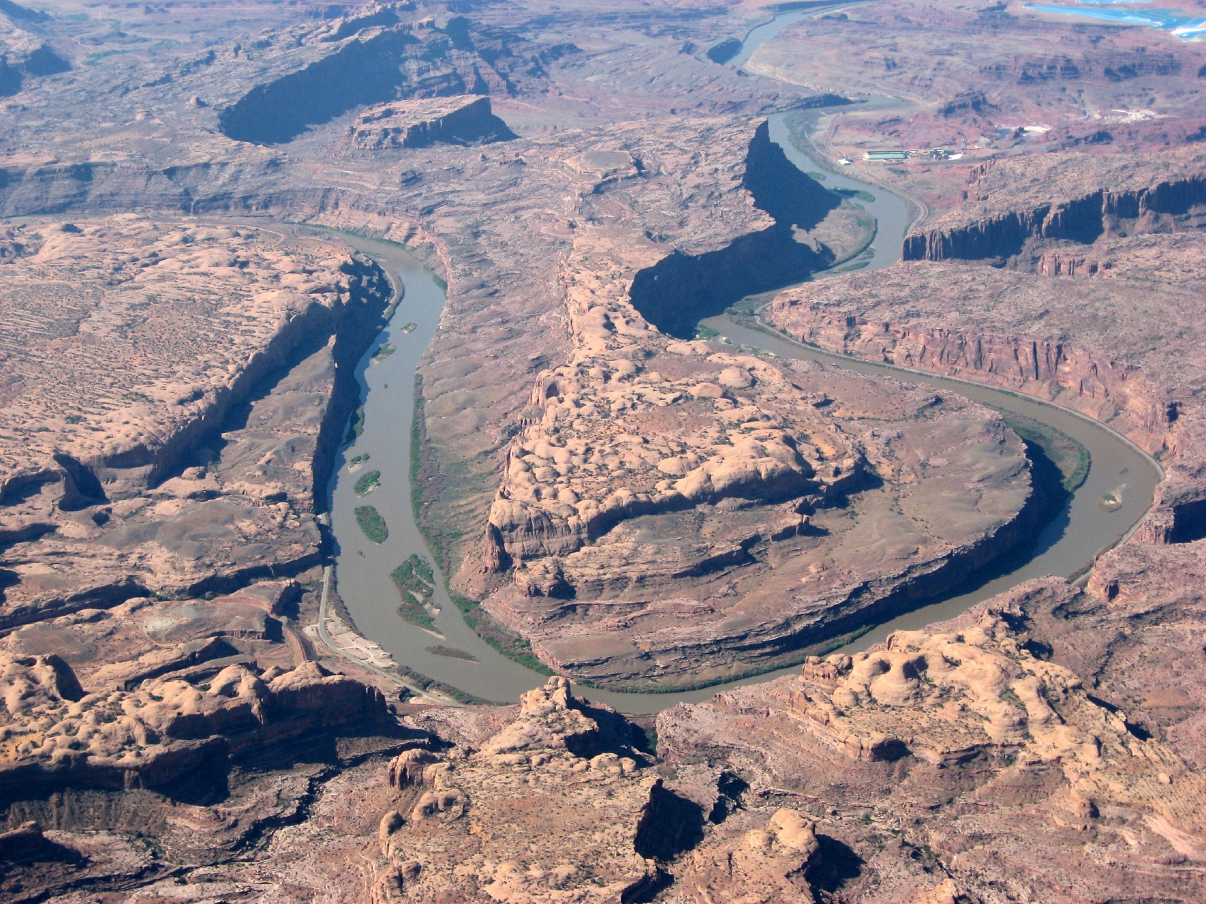
 Moab and the Colorado River |
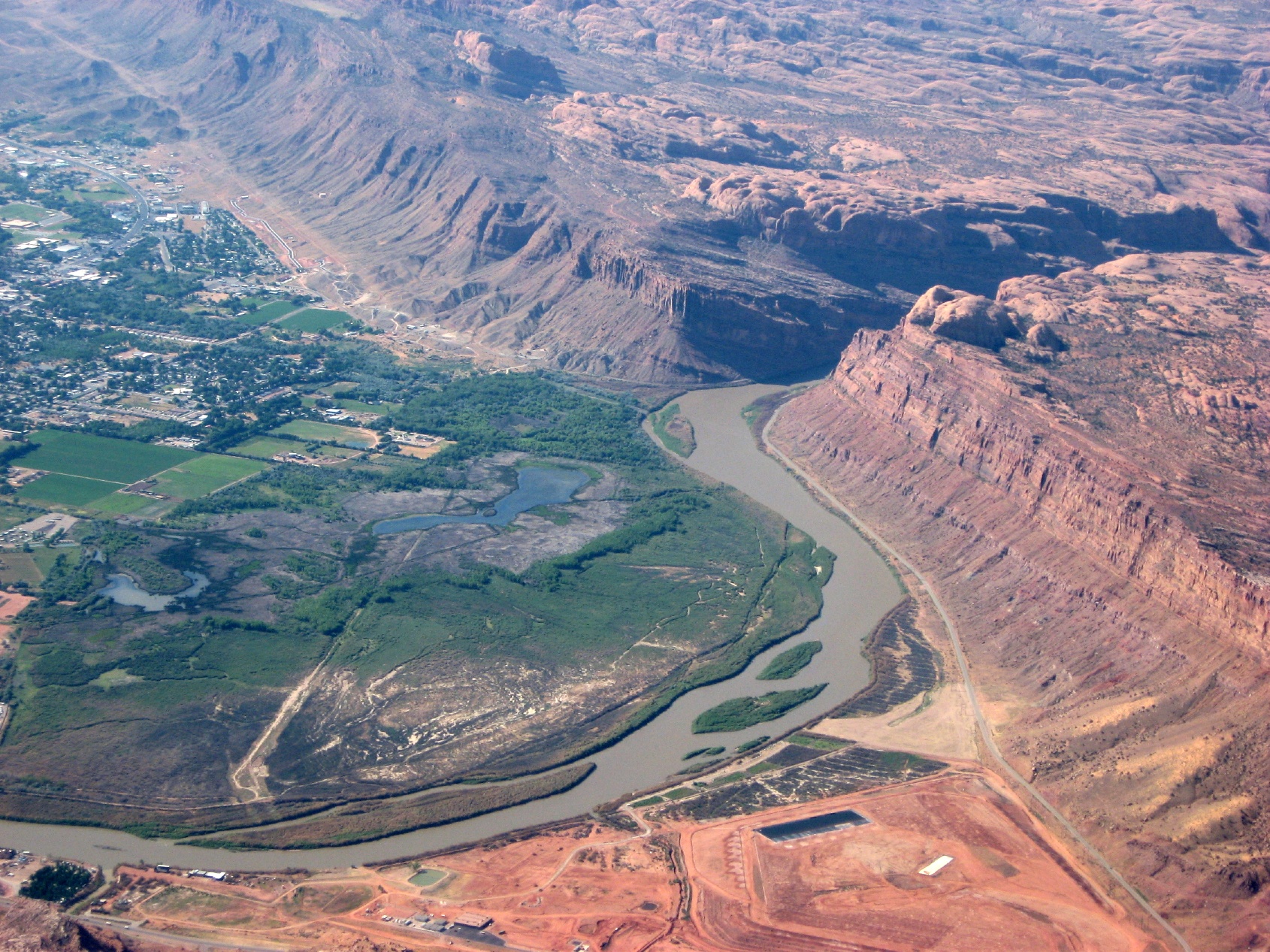 That red area at the bottom is a massive uranium tailing cleanup site |
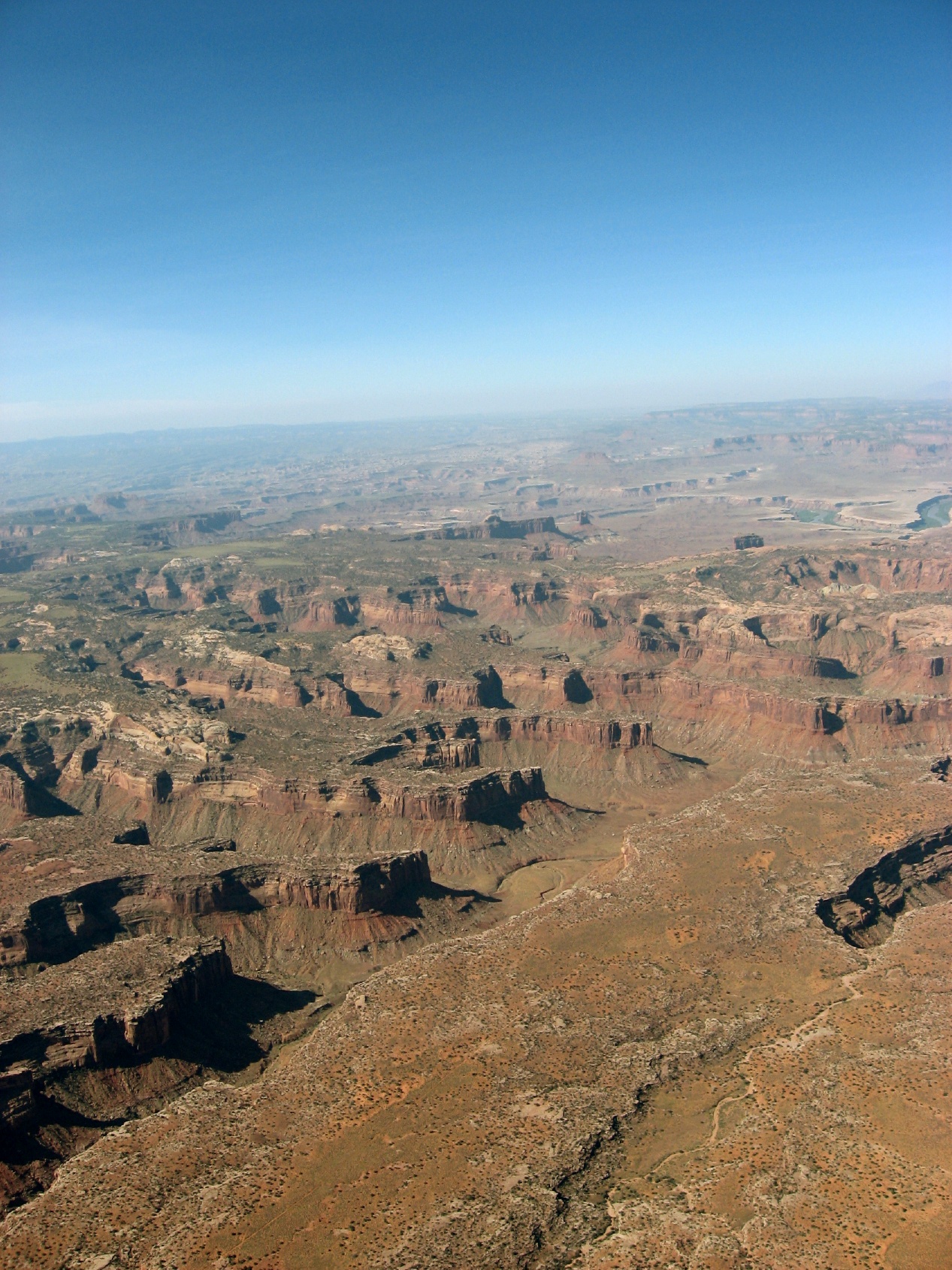
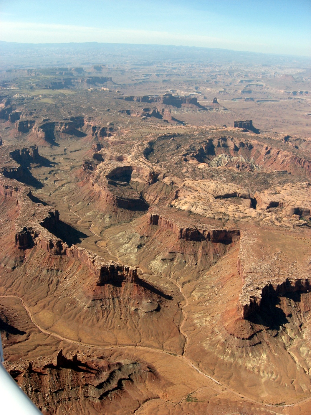
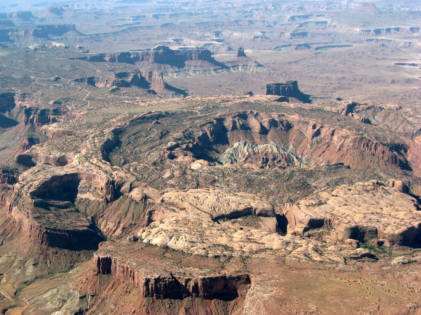
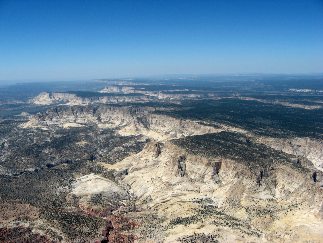
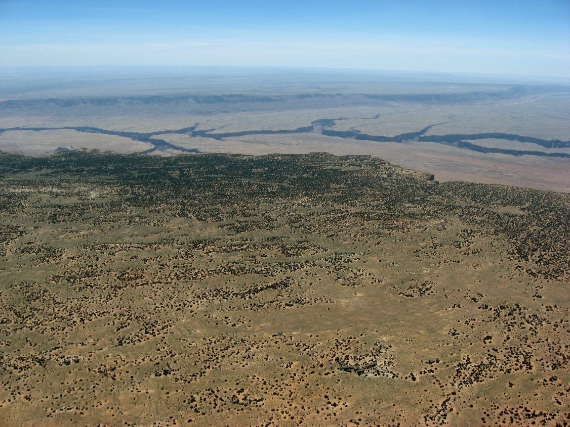
 Canyonlands area |
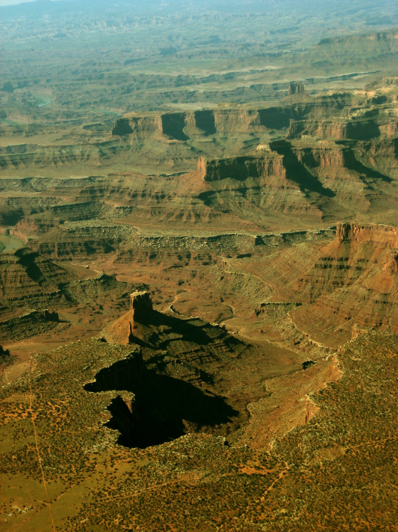 Utah canyons |
 |
 |
 |
 |
 |
 |
 |
 |
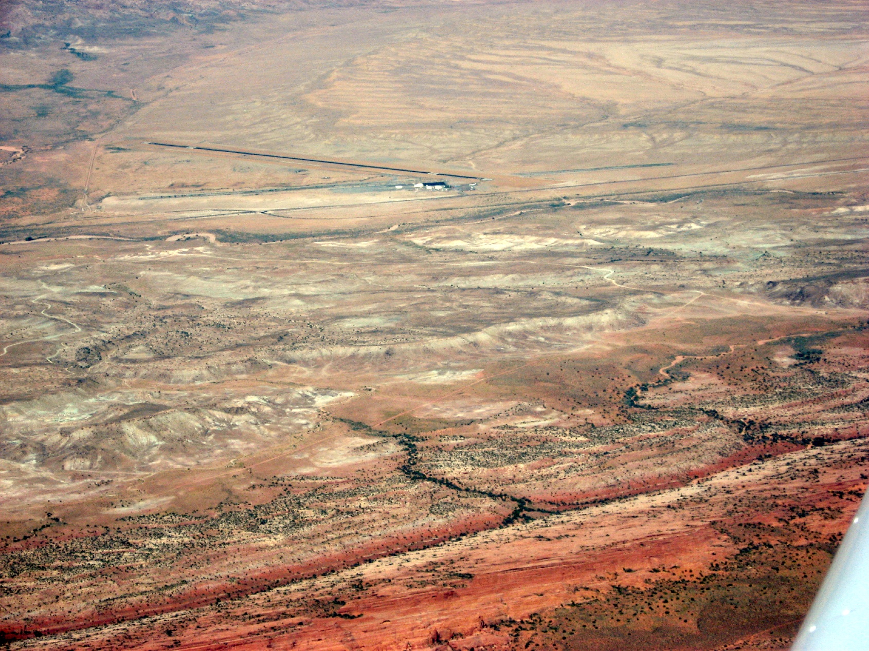
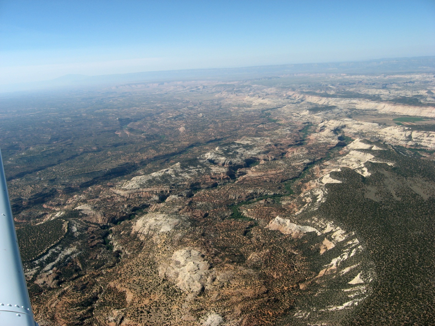
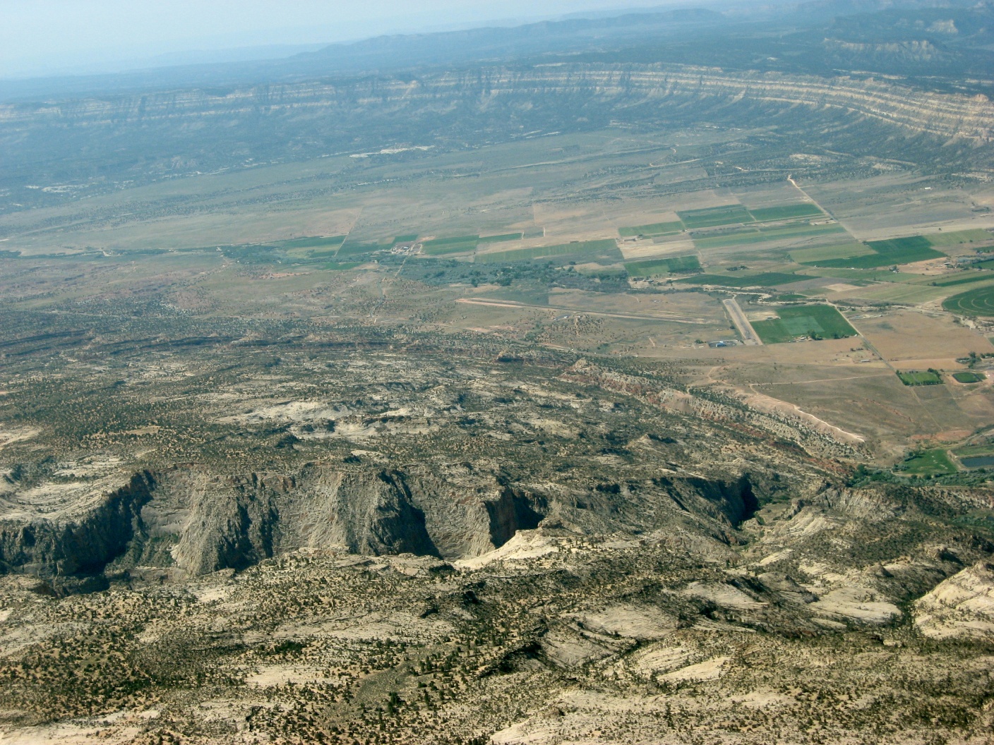
 KHVE - Hanksville, UT |
 |
 |
 |
 |
 |
 |
 |
 |
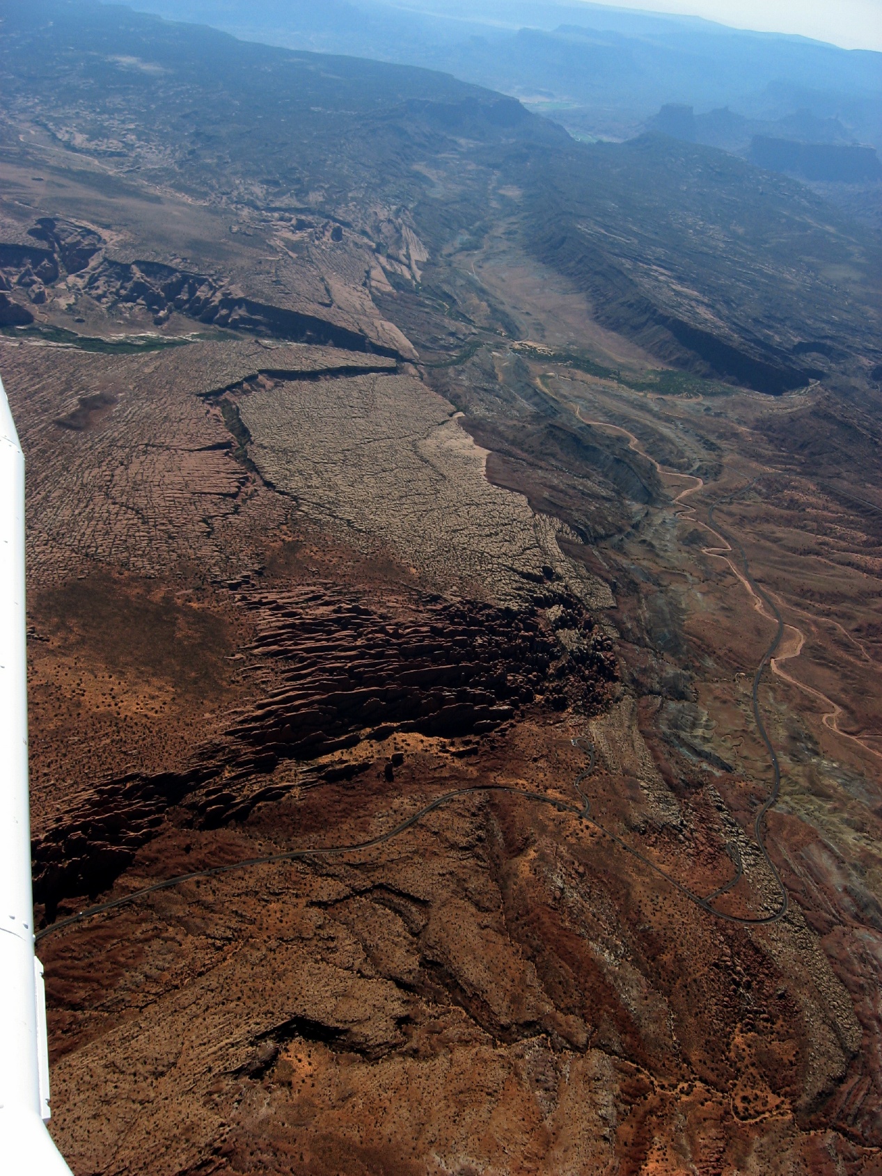
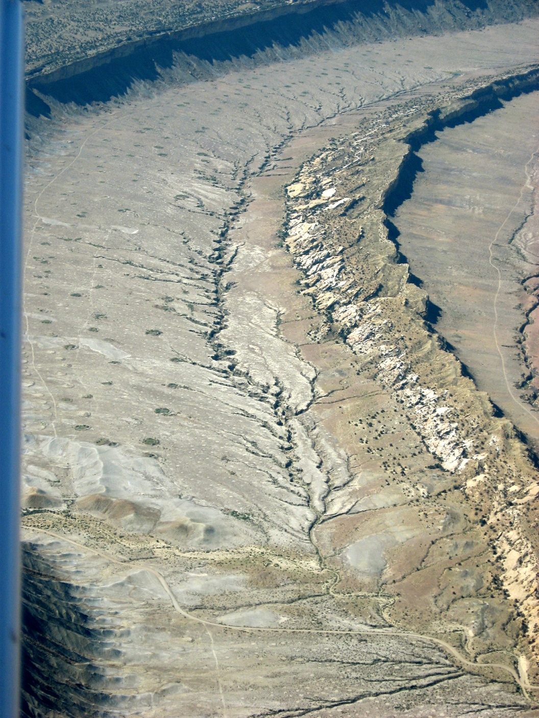
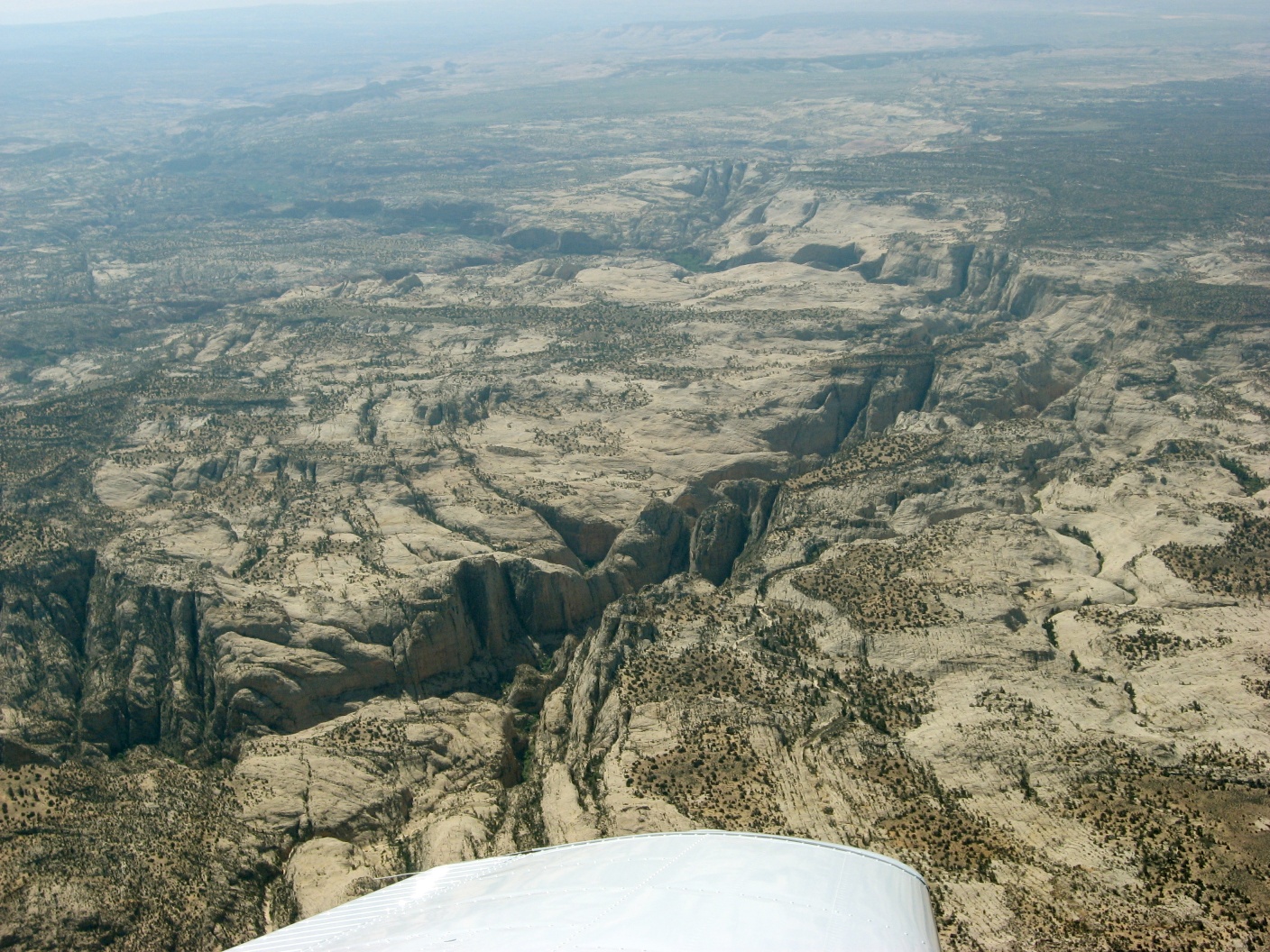
 Some incredible rifts |
 |
 |
 |
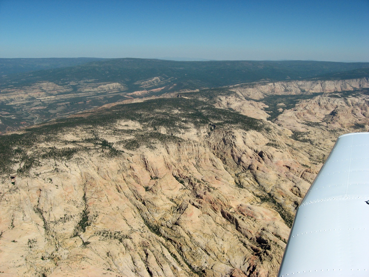
 Capital Reef NP |
 Capital Reef NP |
 Canyons in Capital Reef |
 |
 |
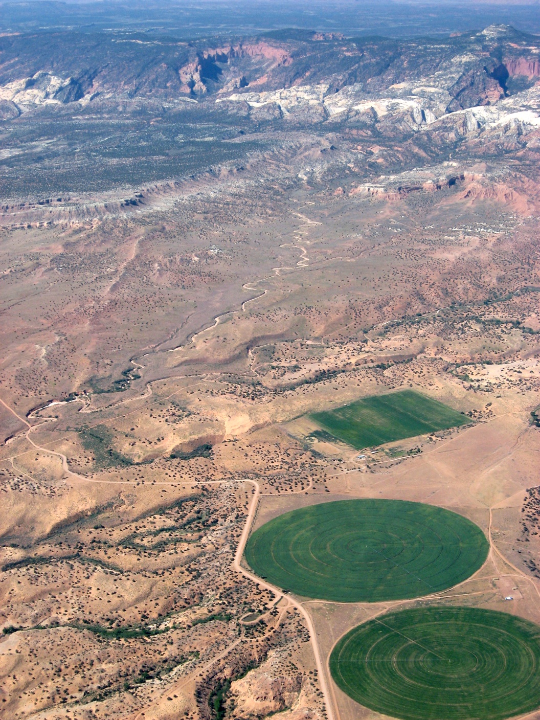
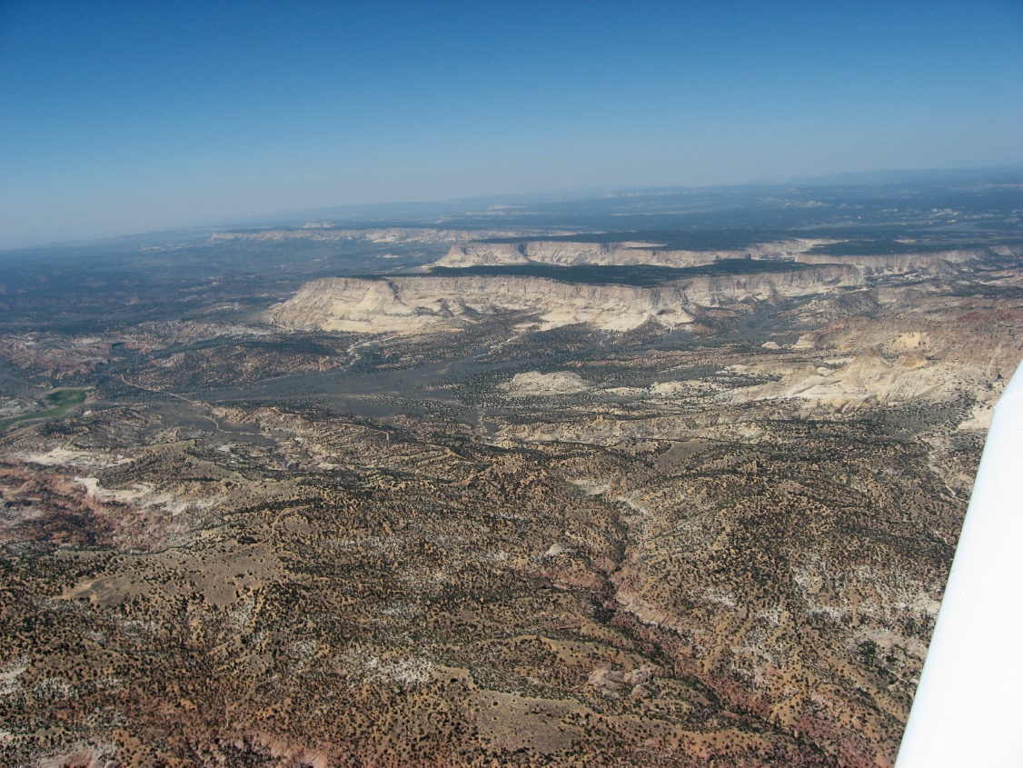
 Colors changing as I head south |
 More reds as the terrain changes |
 |
 |
 |
 |
 |
 Escalante Muni, 1l7 |
 |
 The first indication that I'm near Bryce |
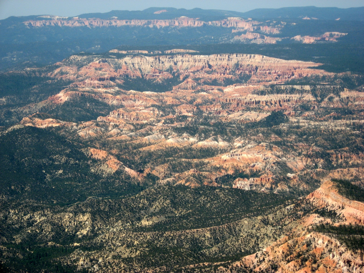
 A great formation at this pass east of KBCE |
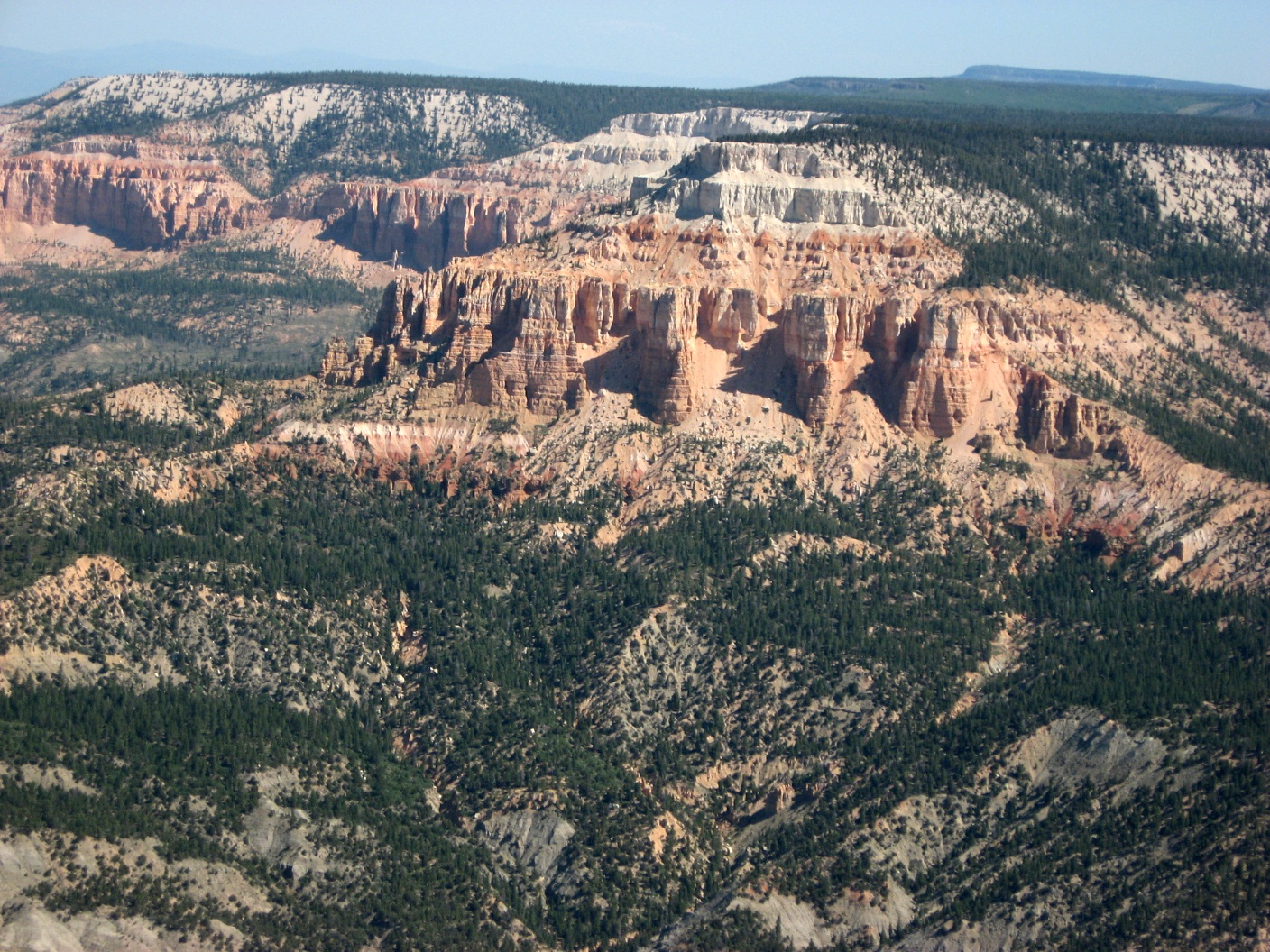
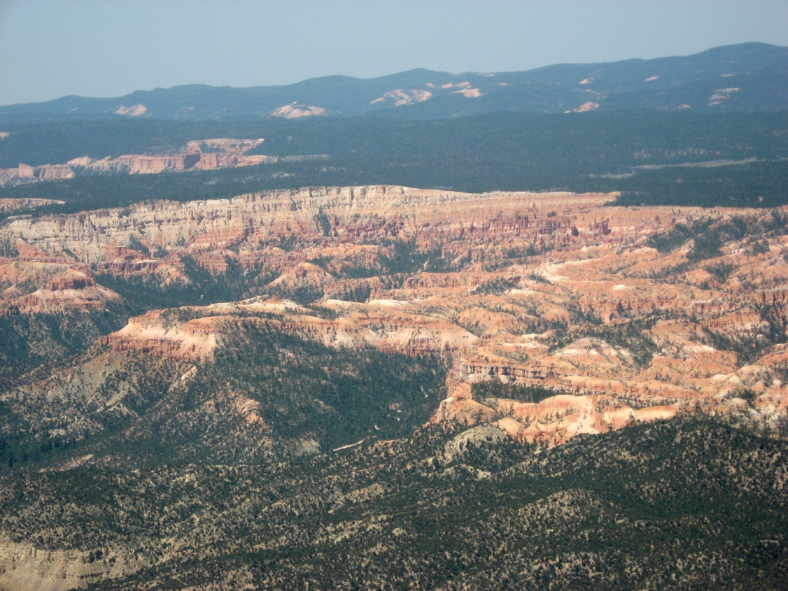
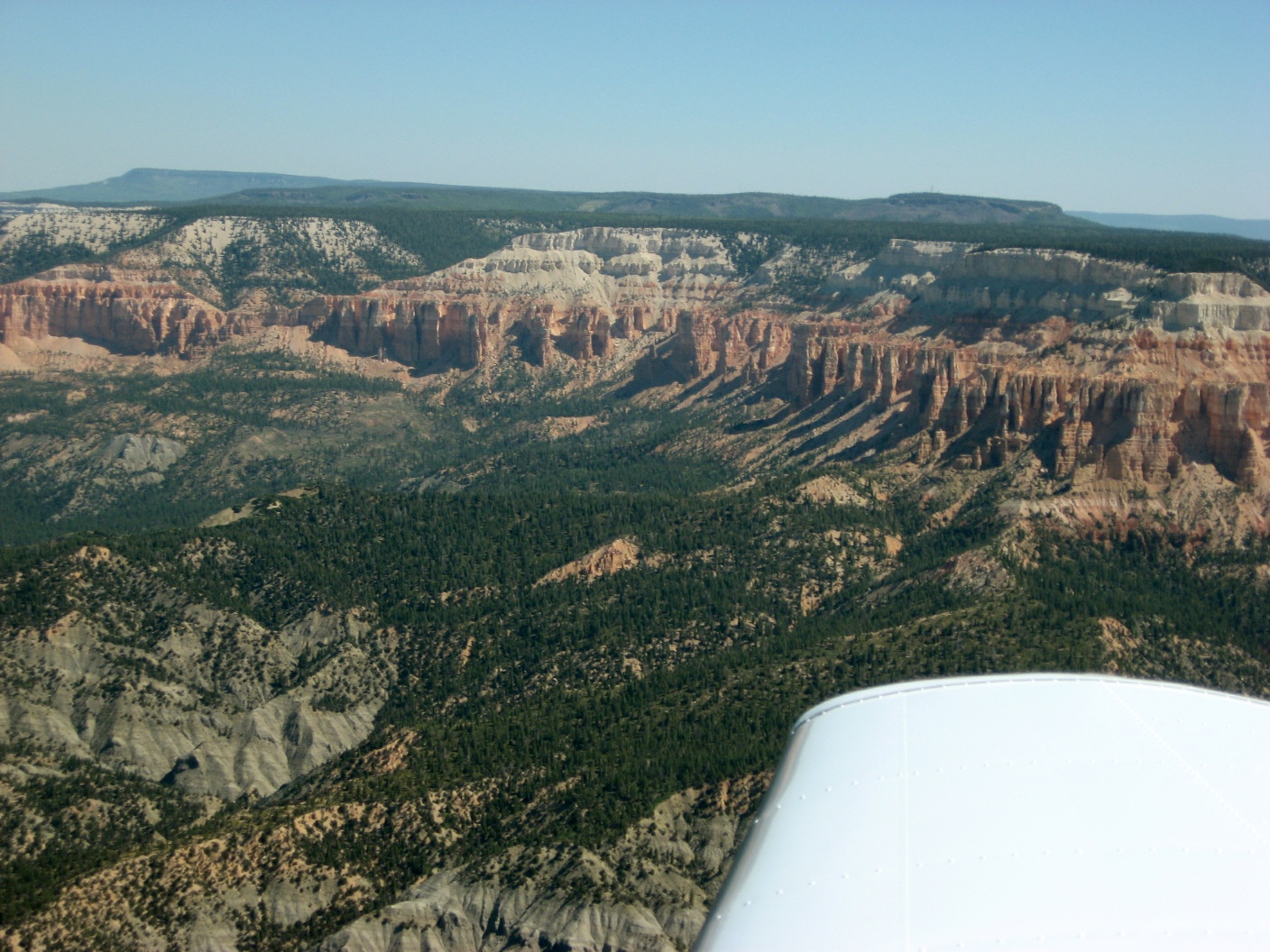 Bryce Canyon NP |
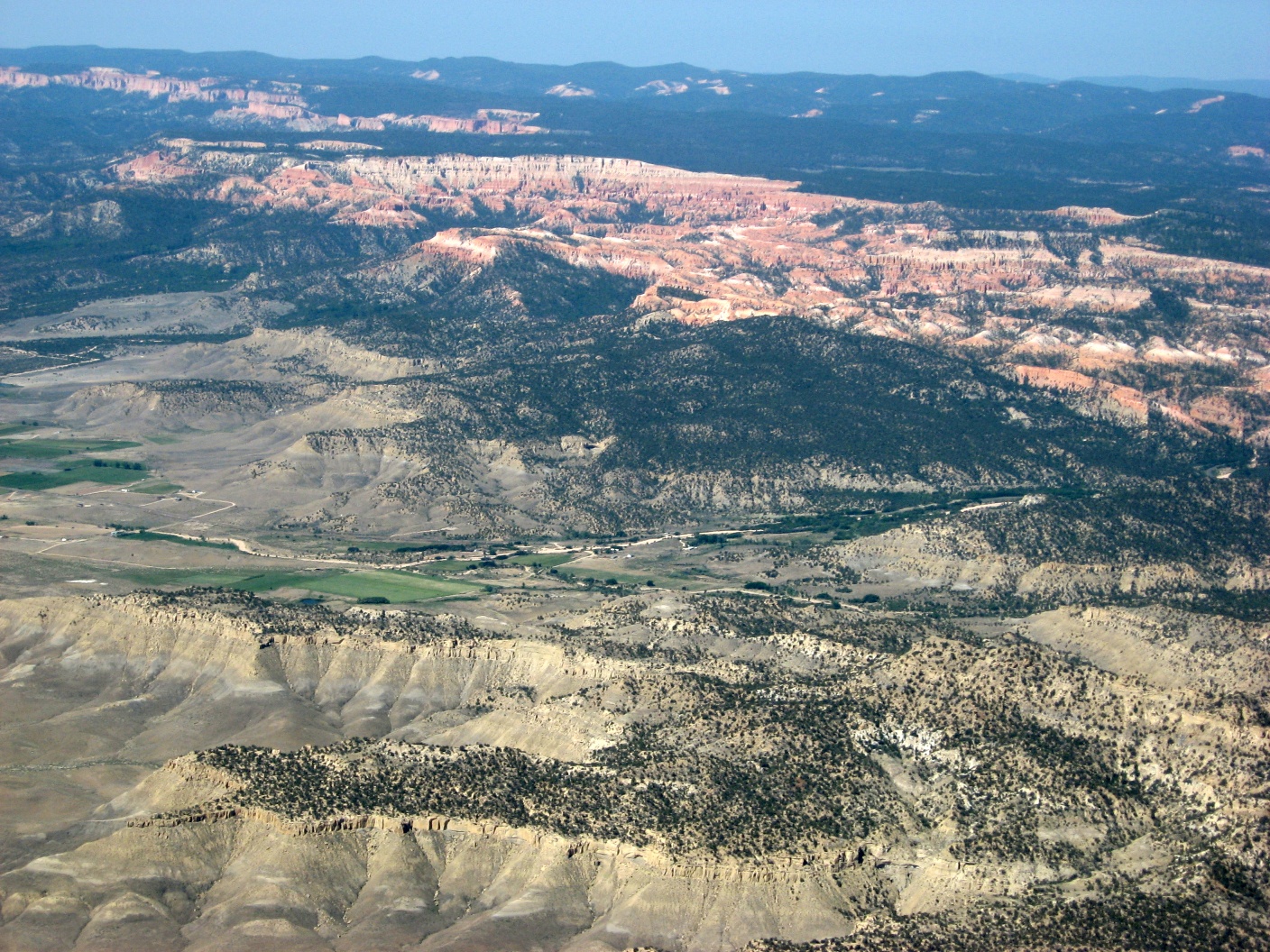 Bryce Canyon NP |
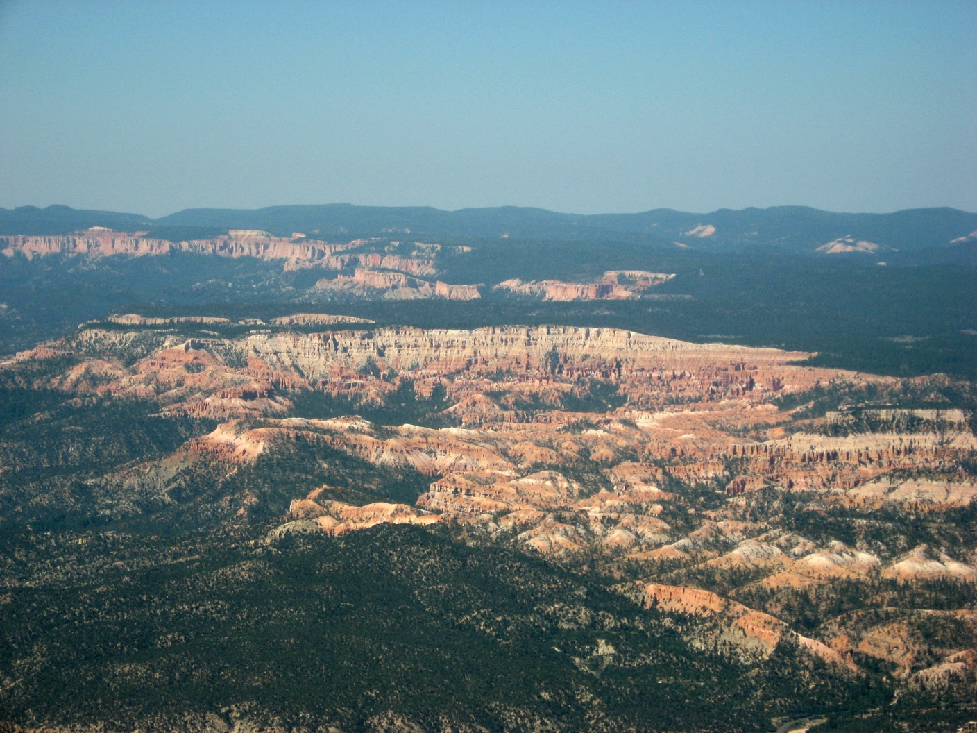 Bryce Canyon NP |
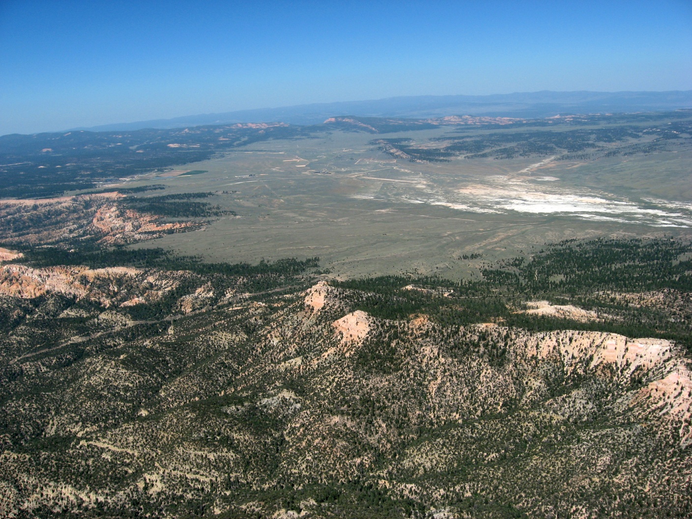 Yes KBCE is out there |
 Bryce Canyon NP |
 |
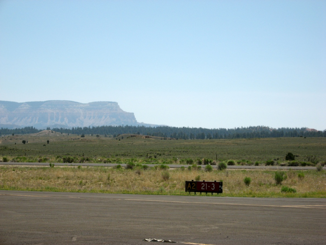
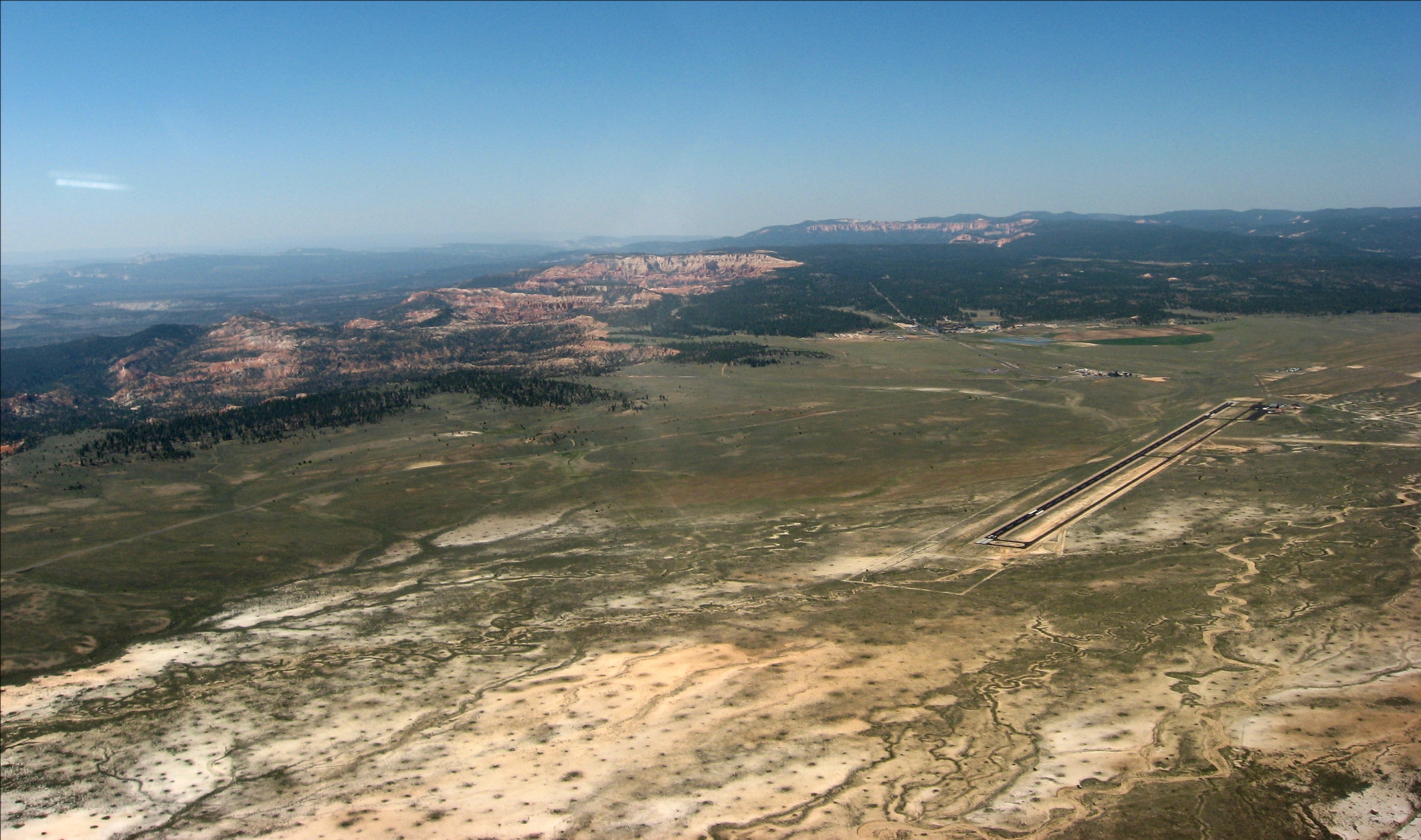 Found it, all 7395 feet of it |
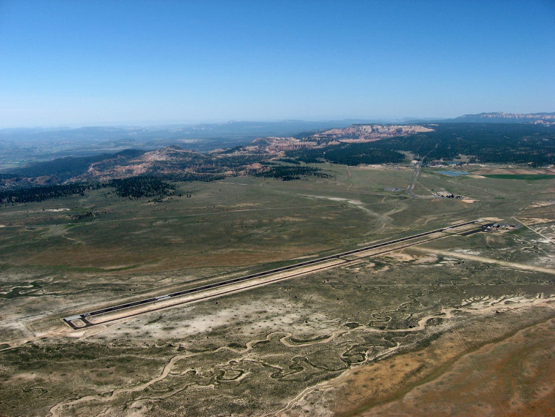 That's a long runway, but just a couple miles from Bryce NP |
 Final for 21 |
 Taxiing, on a long runway |
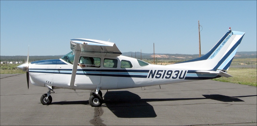 Grand Canyon Airlines - a Cessna 206 |
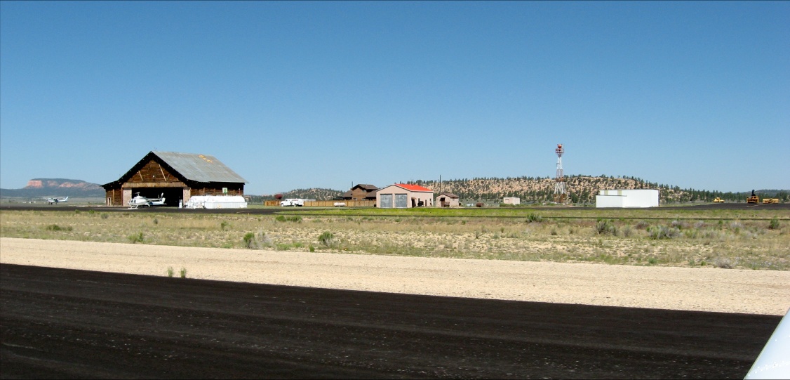
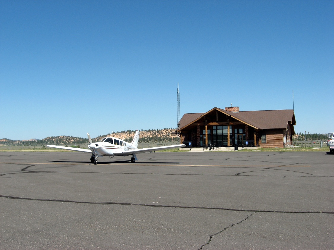
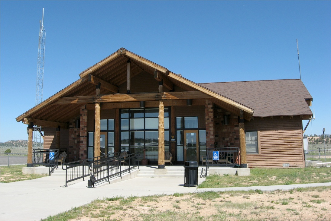 What a grand FBO at Bryce |
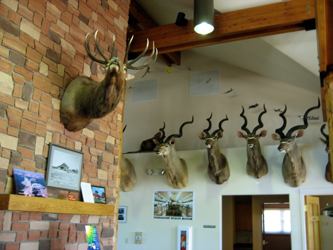 An airport hunting lodge |
 The airplane selfie |
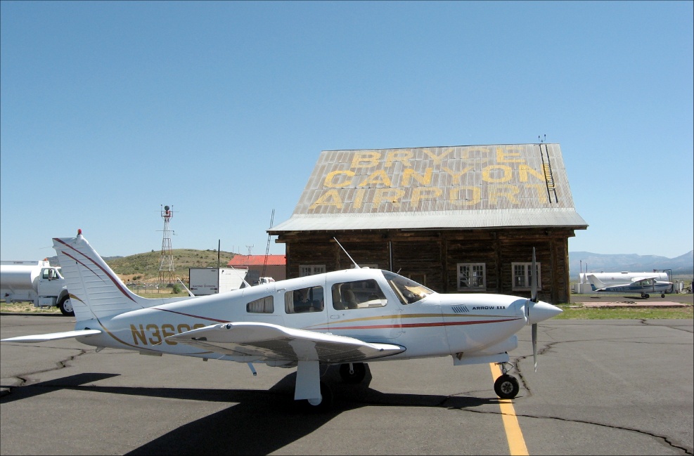
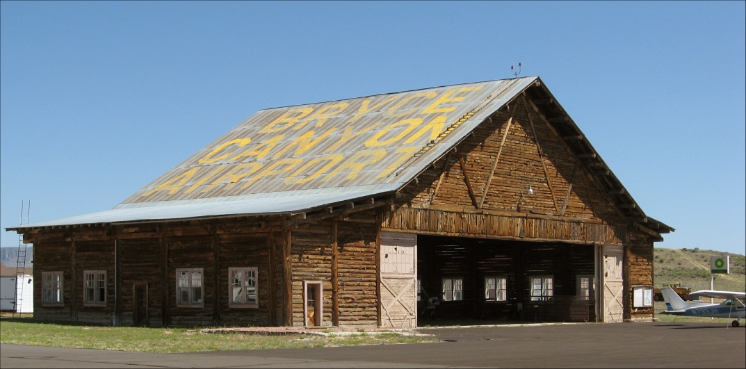 Bryce airport hangar |
 Lots of ramp space |
 Looking back at that pass a few pictures ago |
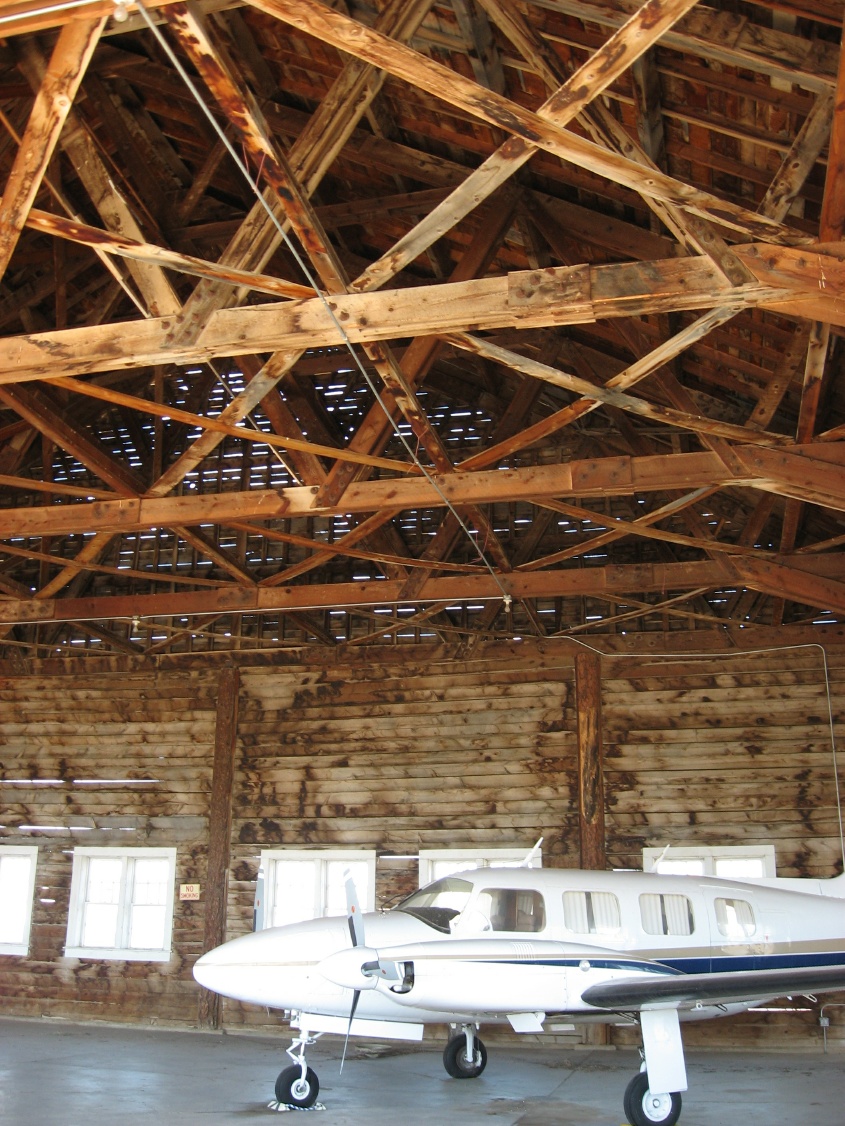
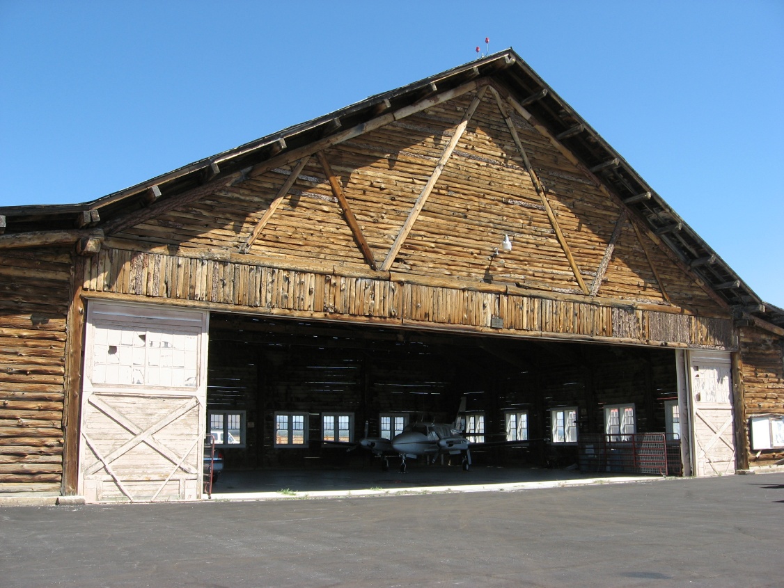 Their hangar |
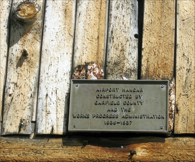 Made in 1936 by WPA |
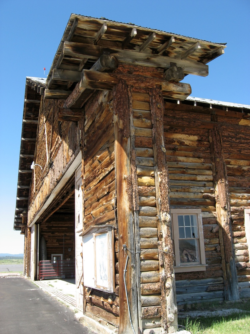 Rustic as the west |
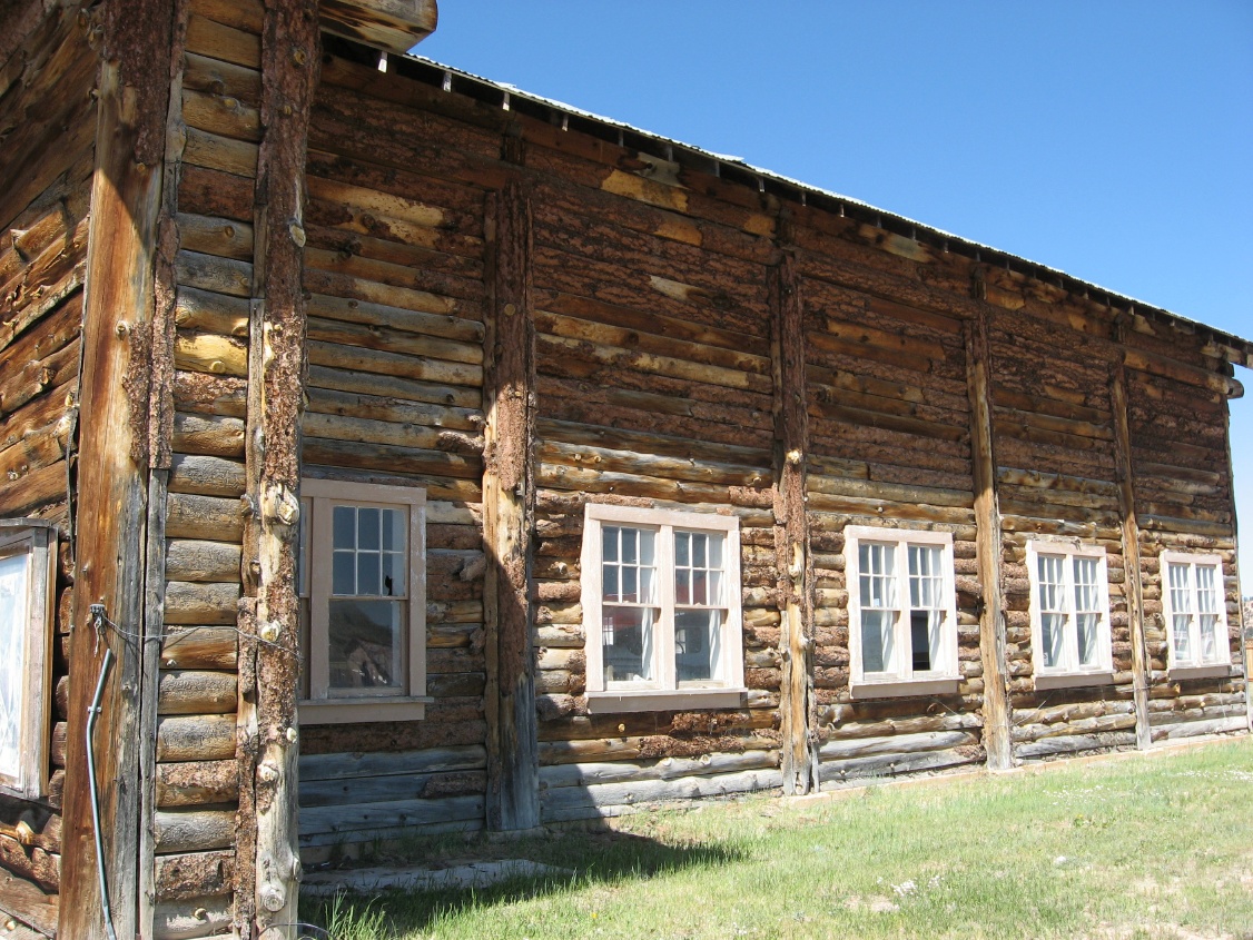 |
 And a few cracks in the siding for air conditioning |
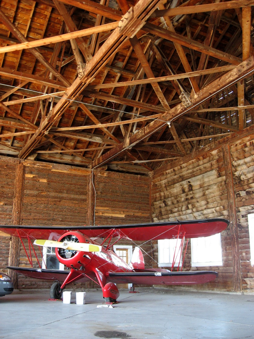 Nice hangar customer |
 Saying goodbye to Bryce |
 |
 |
 |
 |
 Flying south to the Grand Canyon |
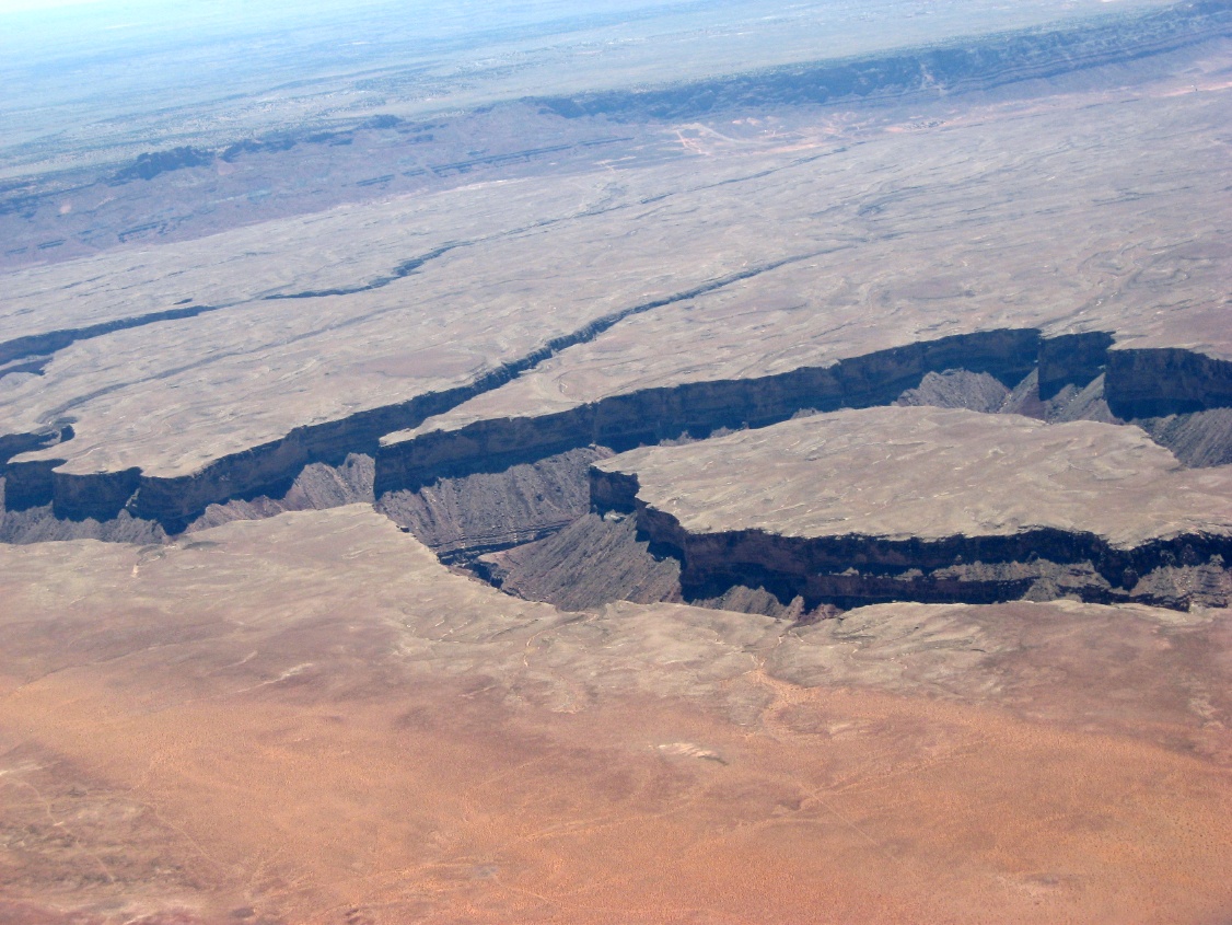
 In the distance is the Grand Canyon |
 Coming up on the edge of a cliff |
 The crack of the Grand Canyon |
 The edge of the Vermillion Cliffs |
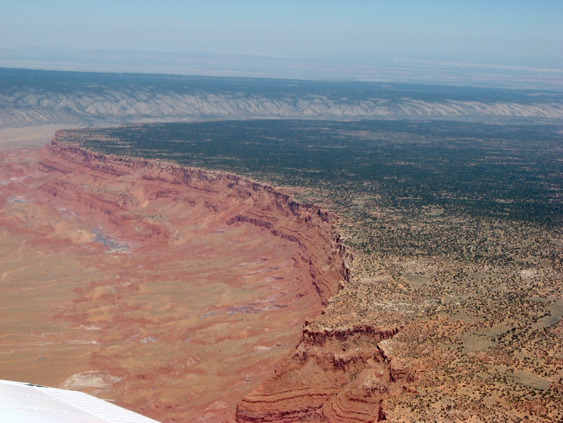 Looking back at the cliffs |
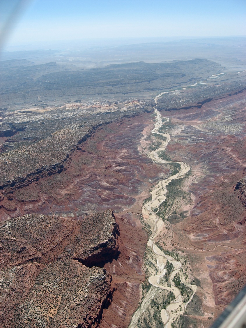
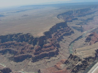
 The northern part of the Colorado and the Grand Canyon |
 Vermillion Cilffs to the north behind me |
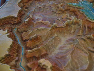
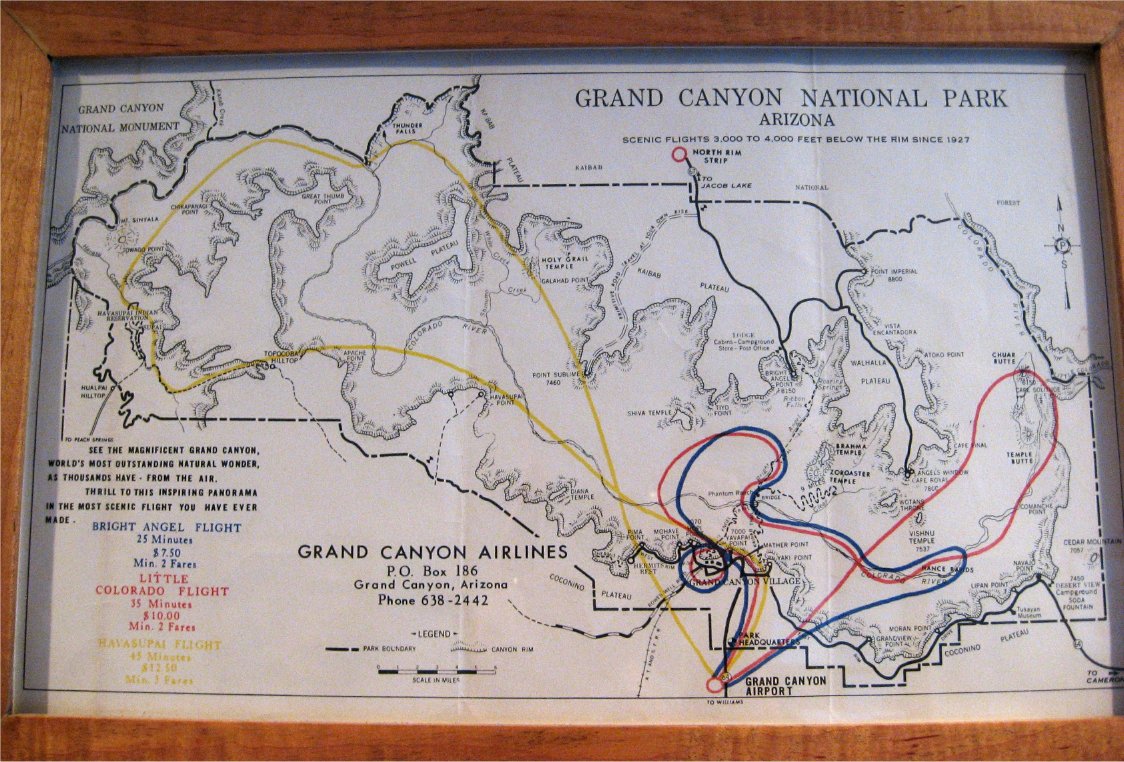 My 1960s flight around the canyon |
|||
| Some Videos too ... | |||||
|---|---|---|---|---|---|
 Flying through some weather |
 The Royal Gorge |
 Gunnison, CO. Just a small mesa in the way on downwind |
 A mountain valley east of Aspen, CO |
||
 Landing at Leadville, KLXV |
 Flying south down the northern arm of the Grand Canyon at 10k ft |
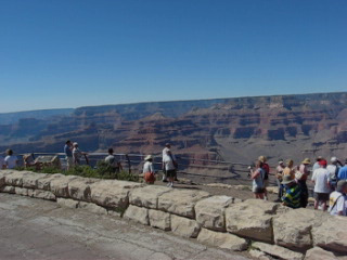 Biking at the rim |
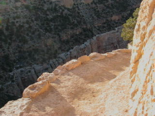
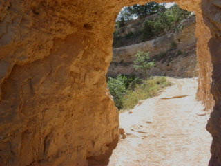 The Bright Angel Trail |
||
 A mock flyover of the canyon |
 The Bright Angel Trail from the South Rim |
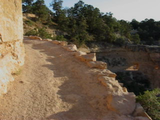 Hiking the start of the Bright Angle Trail |
|||